Overview
A squall line of thunderstorms progressed across the Kanawha Valley on Monday June 24, 2019. The line of storms produced two tornadoes in Charleston, WV, one passing directly over the National Weather Service office, and microburst damage in Wallace, WV.Tornadoes
|
|
||||||||||
|
||||||||||
|
Tornado - Kanawha County #1
|
||||||||||||||||
|
Tornado - Kanawha County #2
|
||||||||||||||||
The Enhanced Fujita (EF) Scale classifies tornadoes into the following categories:
| EF0 Weak 65-85 mph |
EF1 Moderate 86-110 mph |
EF2 Significant 111-135 mph |
EF3 Severe 136-165 mph |
EF4 Extreme 166-200 mph |
EF5 Catastrophic 200+ mph |
 |
|||||
Radar
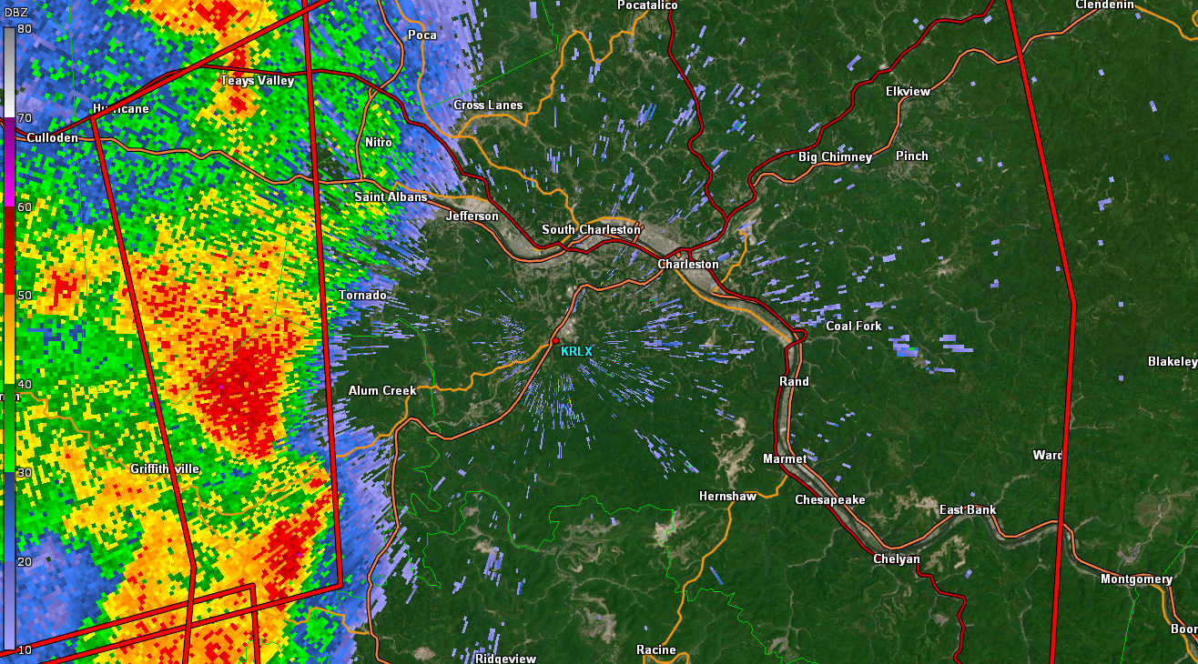
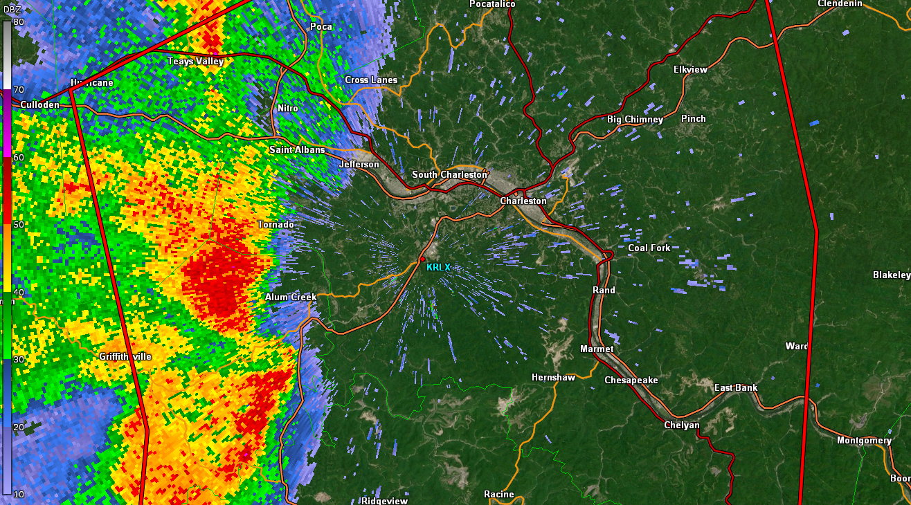
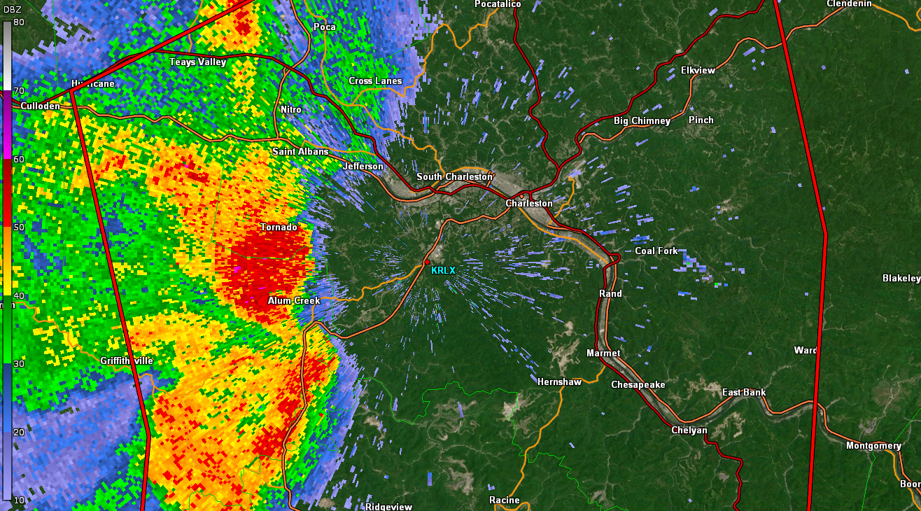
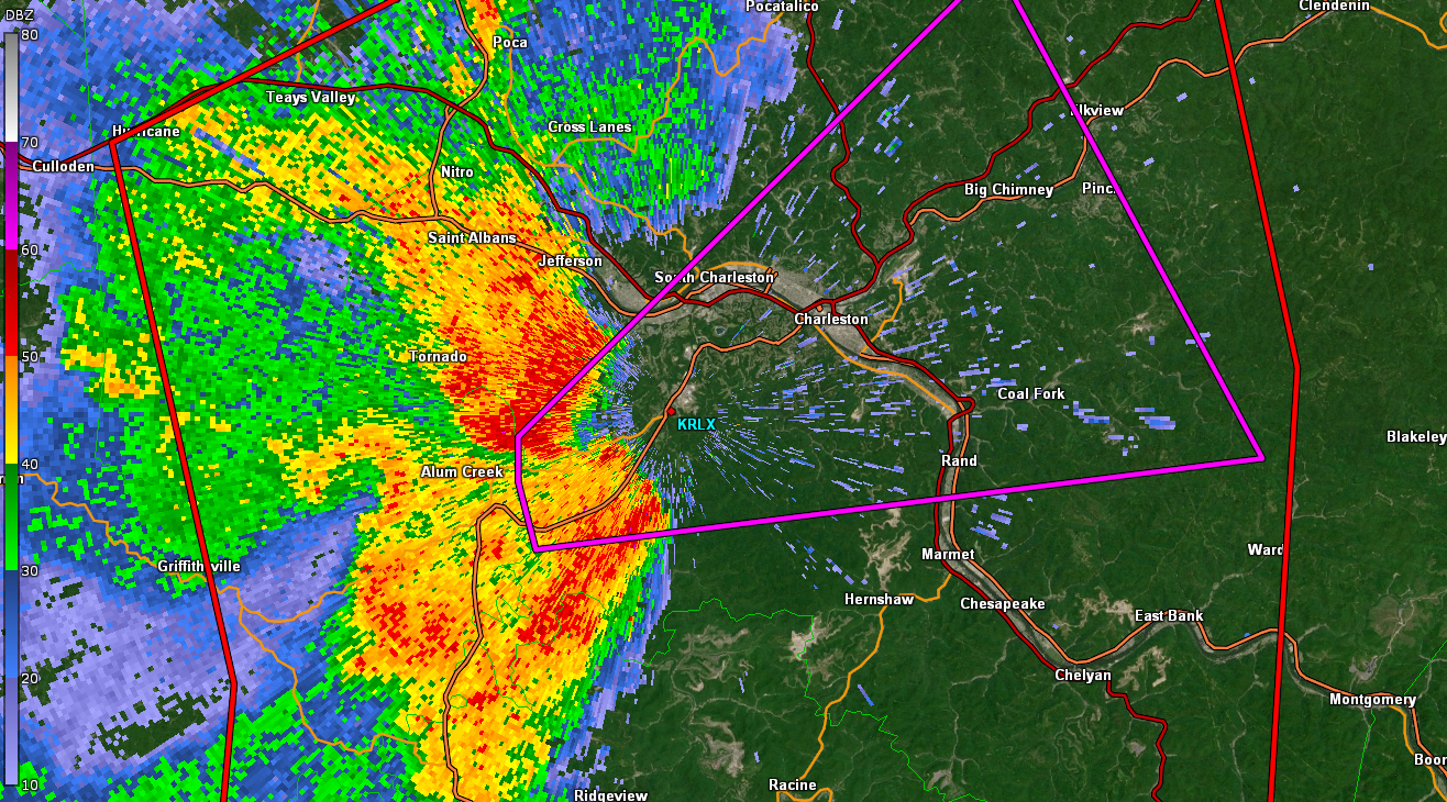
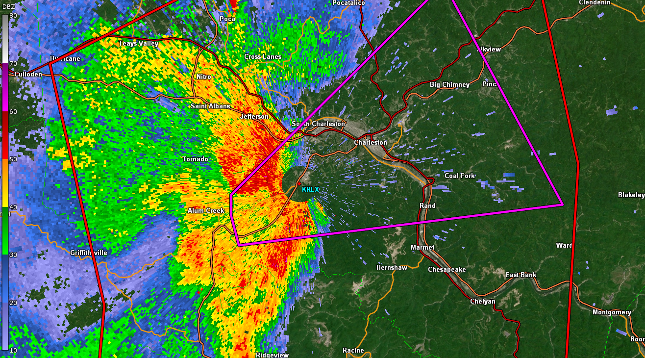
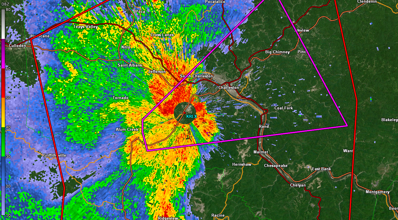
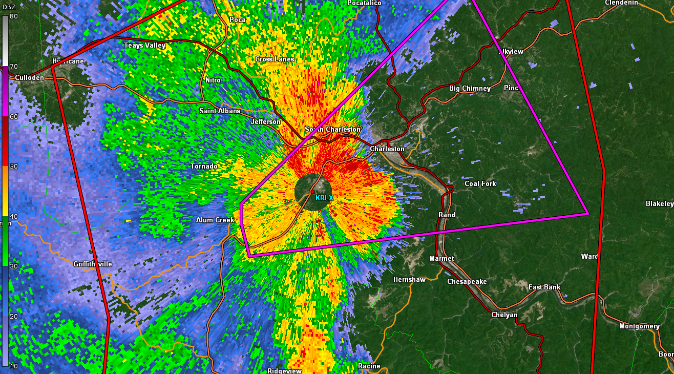
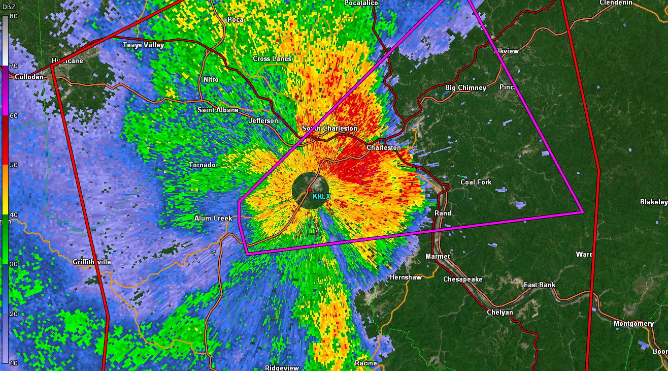
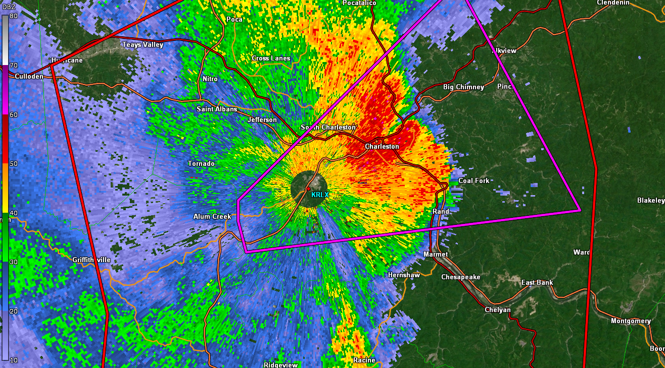
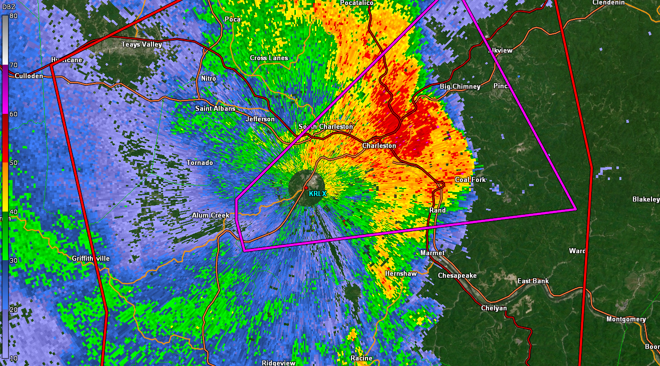
KRLX 0.5º Base Reflectivity
 |
 |
 |
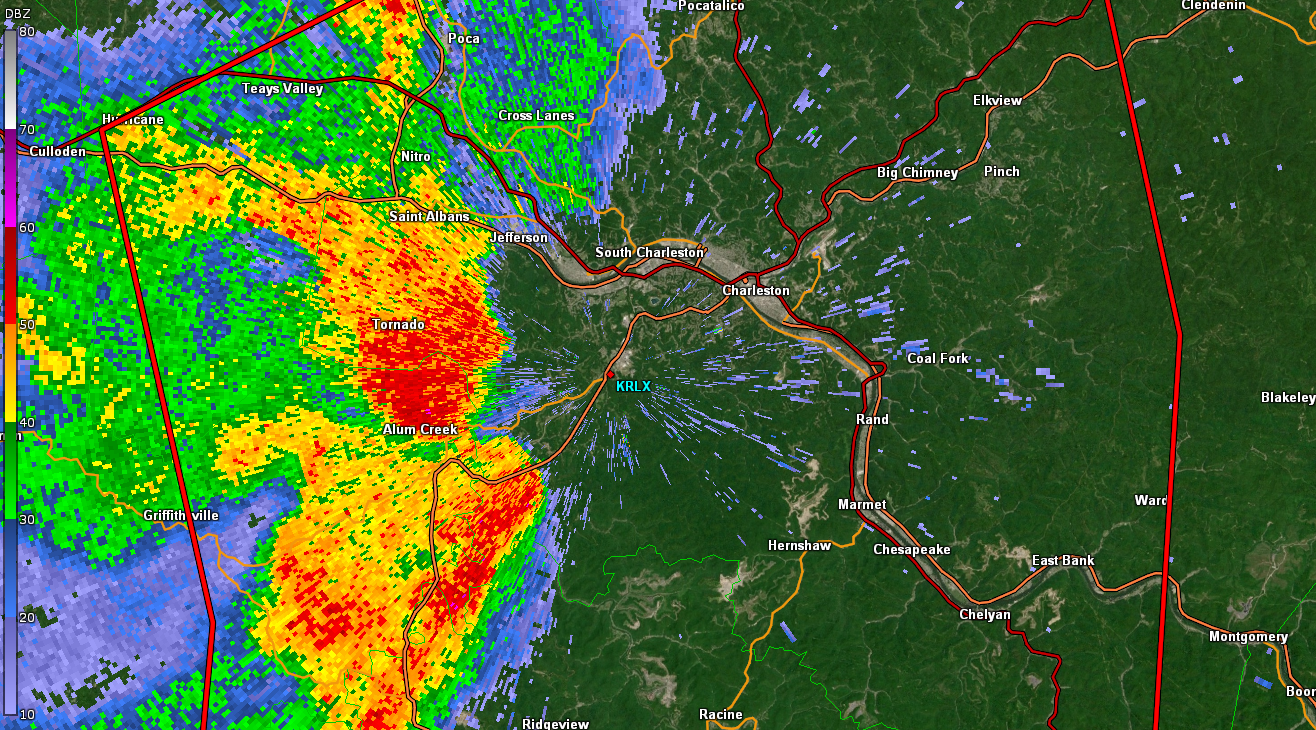 |
| 2240 UTC | 2243 UTC | 2246 UTC | 2249 UTC |
 |
 |
 |
 |
| 2251 UTC | 2254 UTC | 2257 UTC | 2259 UTC |
 |
 |
 |
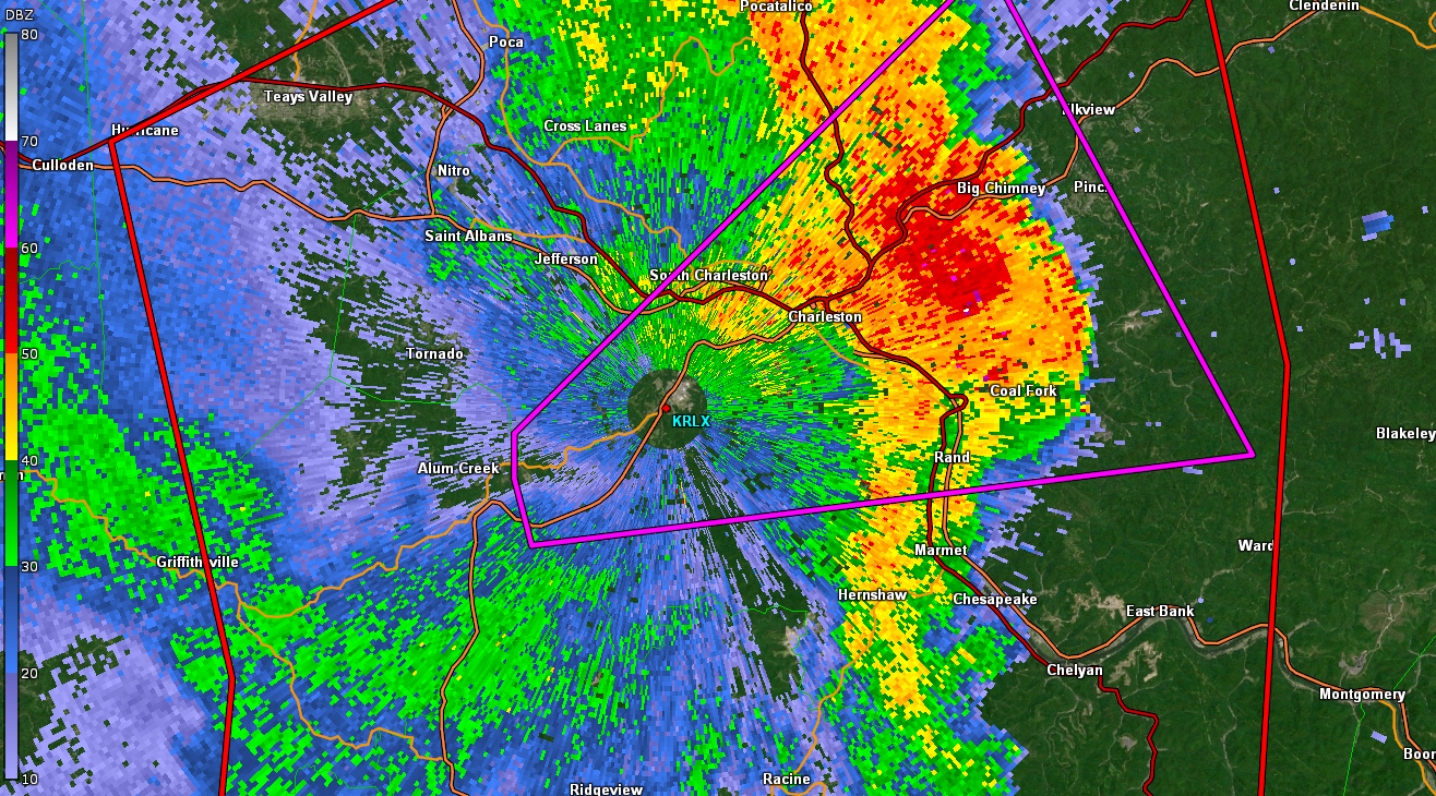 |
| 2302 UTC | 2304 UTC | 2307 UTC | 2309 UTC |
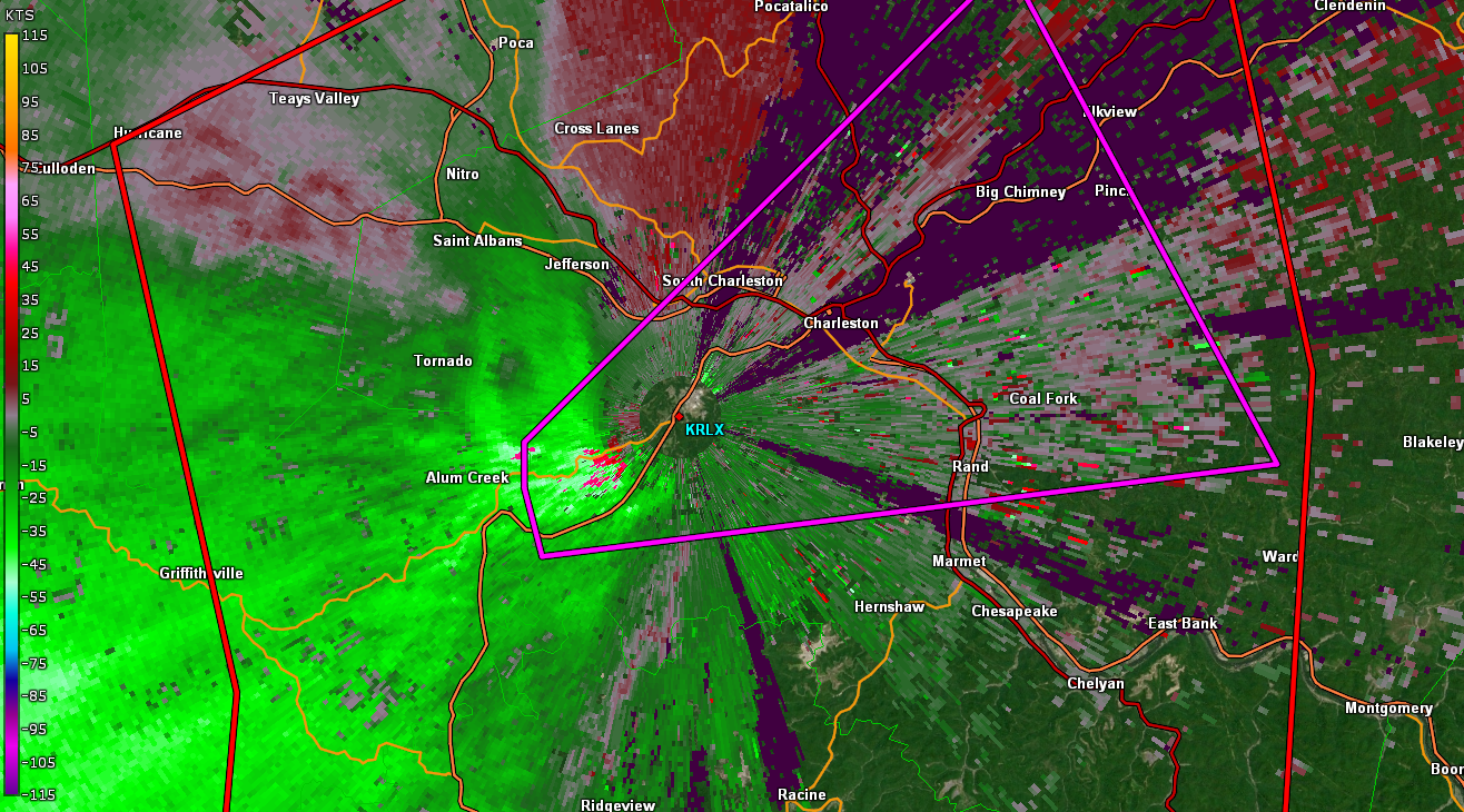
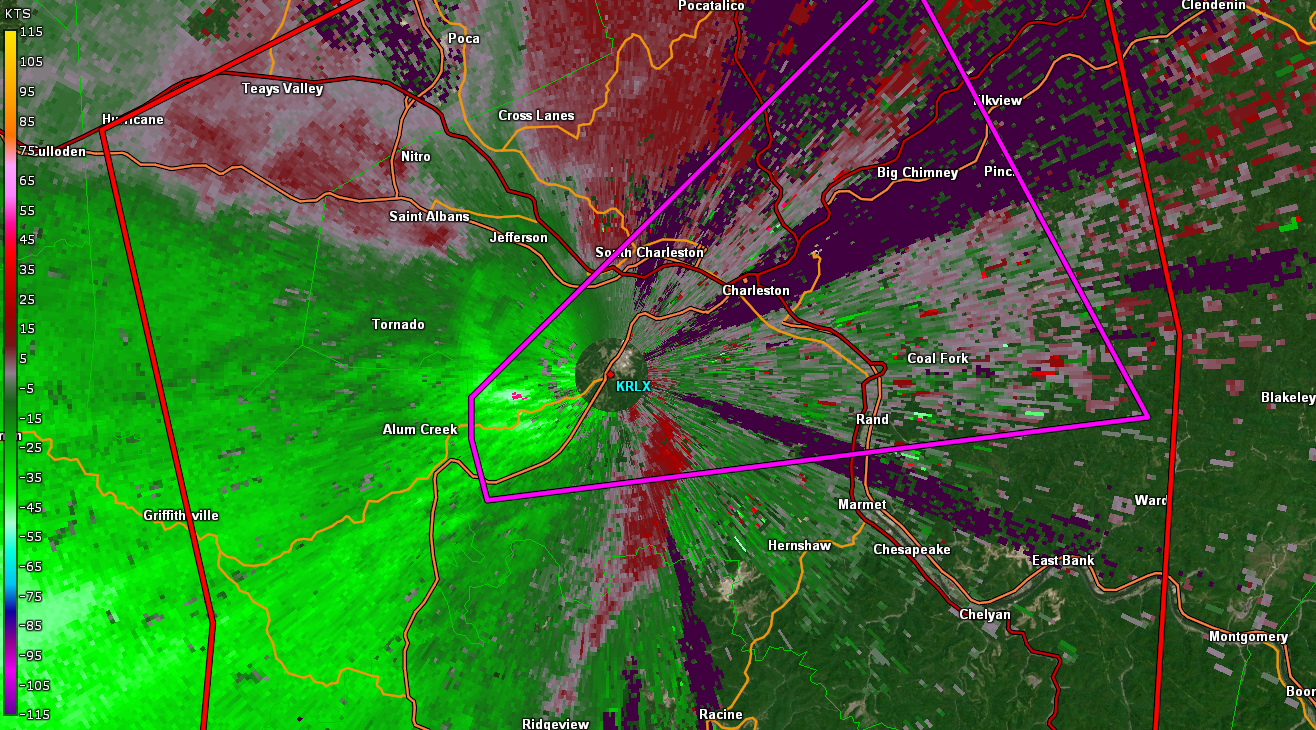
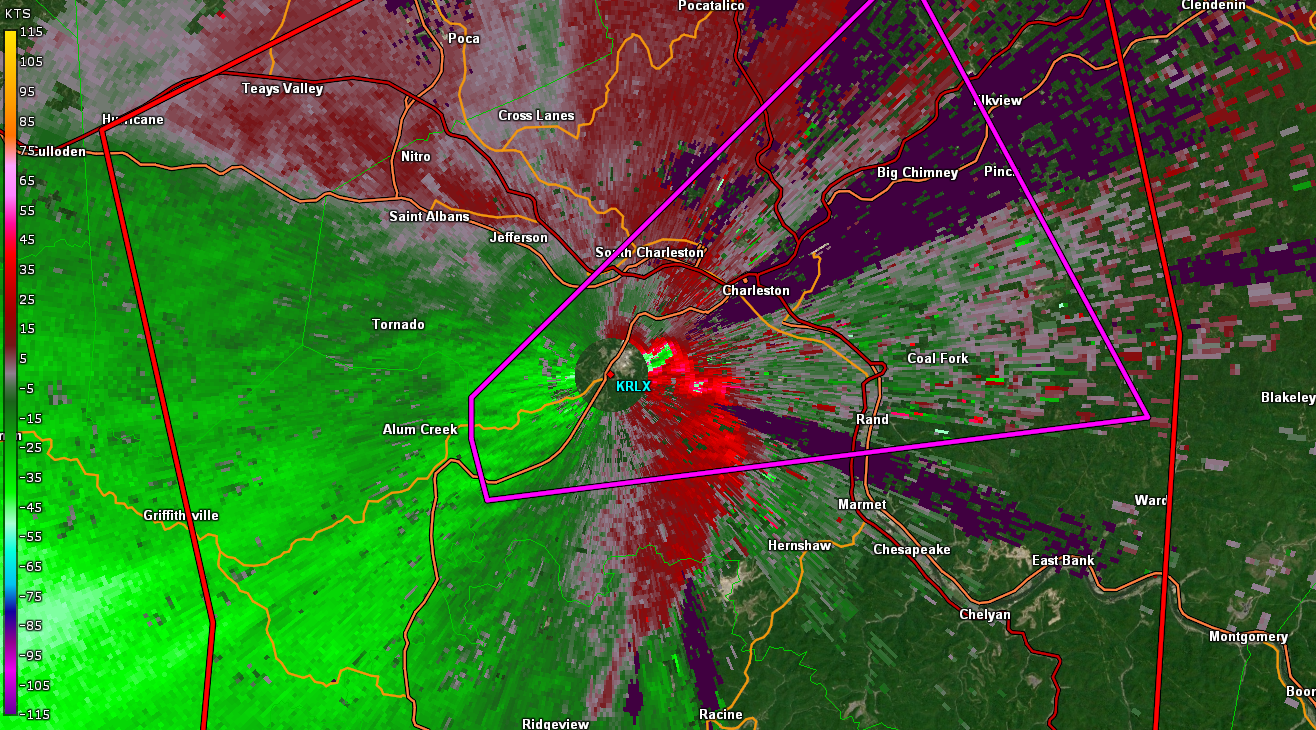
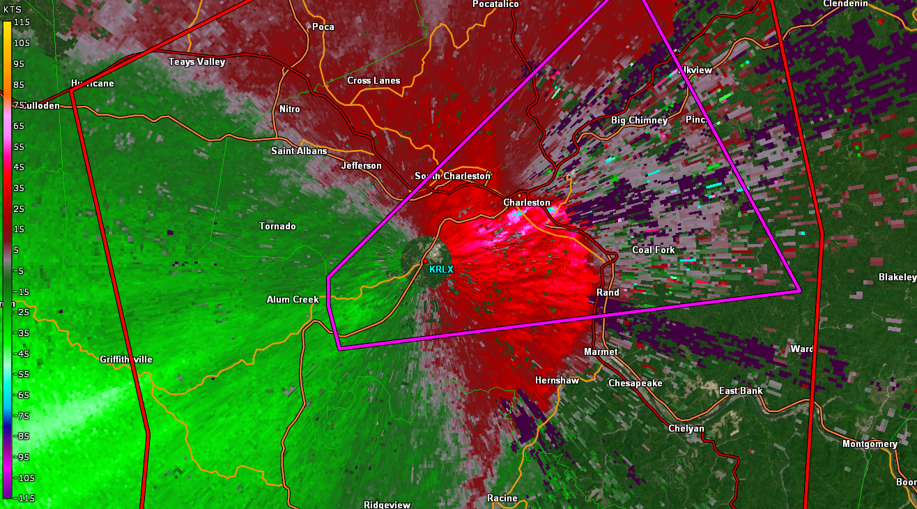
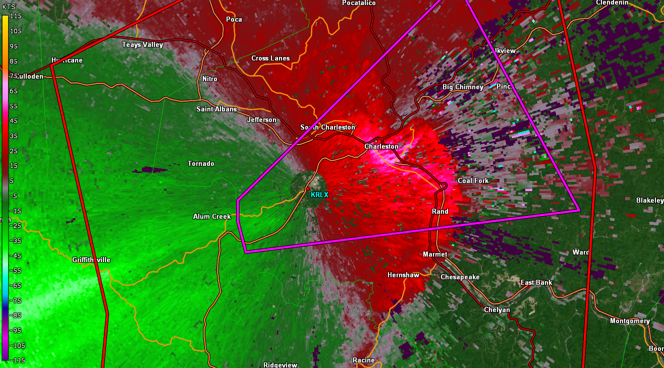
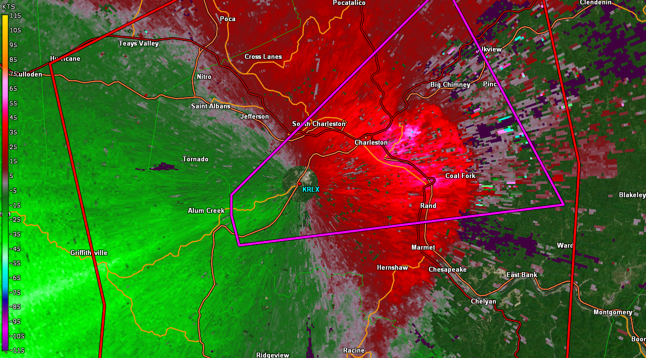
KRLX 0.5º Storm Relative Velocity
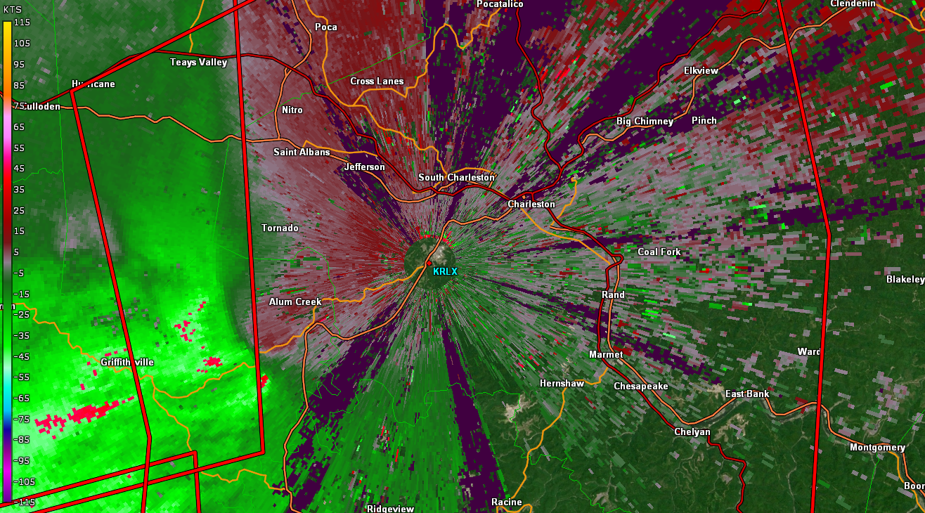 |
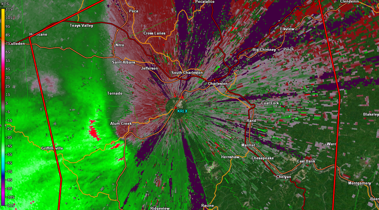 |
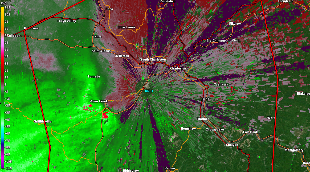 |
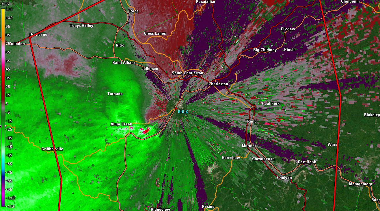 |
| 2240 UTC | 2243 UTC | 2246 UTC | 2249 UTC |
 |
 |
 |
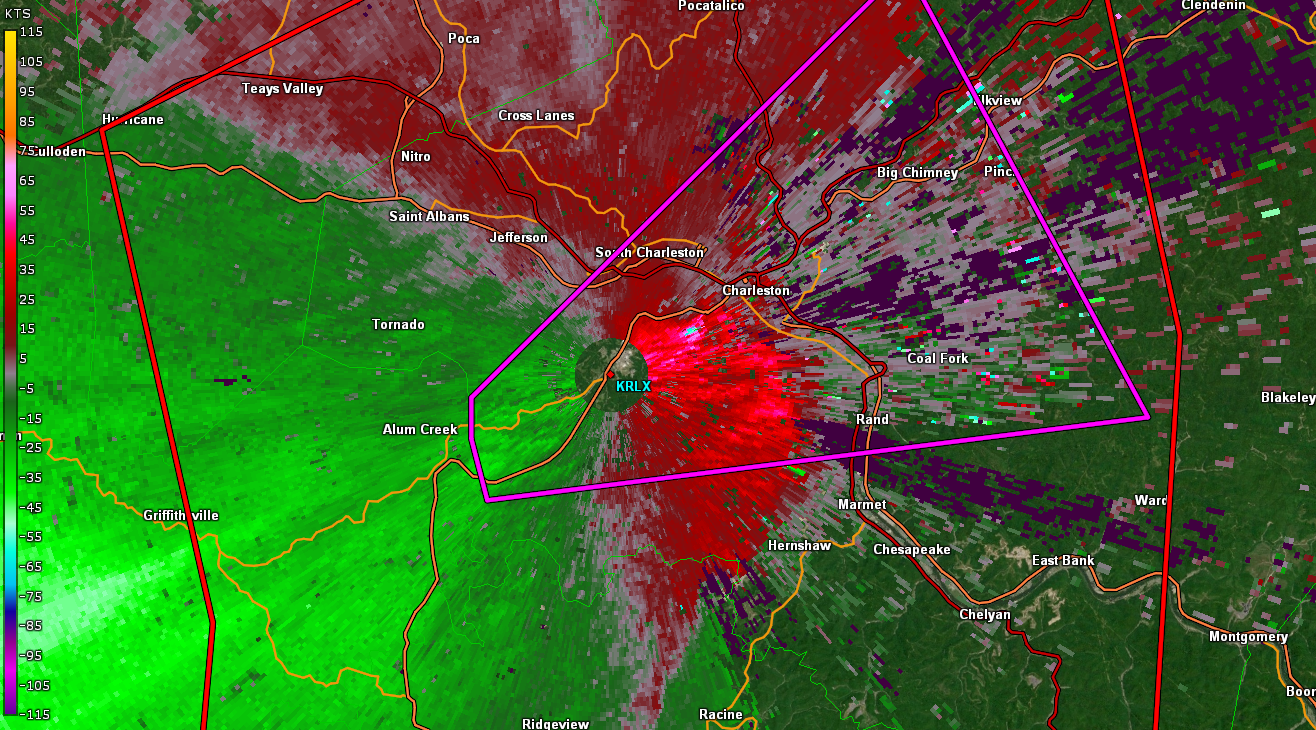 |
| 2252 UTC | 2254 UTC | 2257 UTC | 2259 UTC |
 |
 |
 |
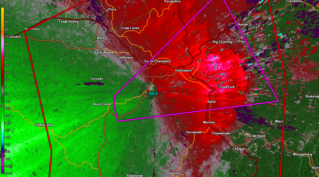 |
| 2302 UTC | 2304 UTC | 2307 UTC | 2309 UTC |
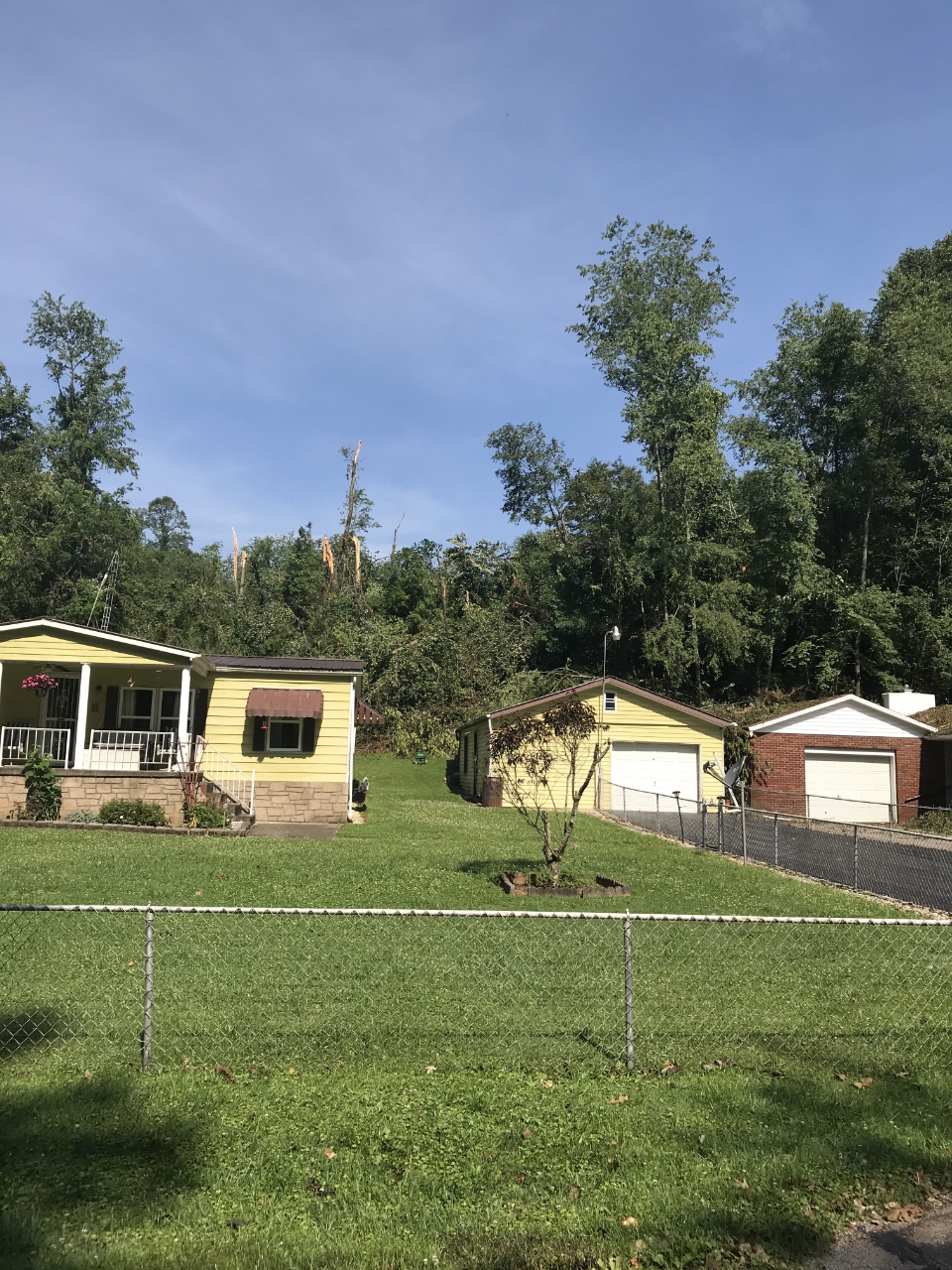
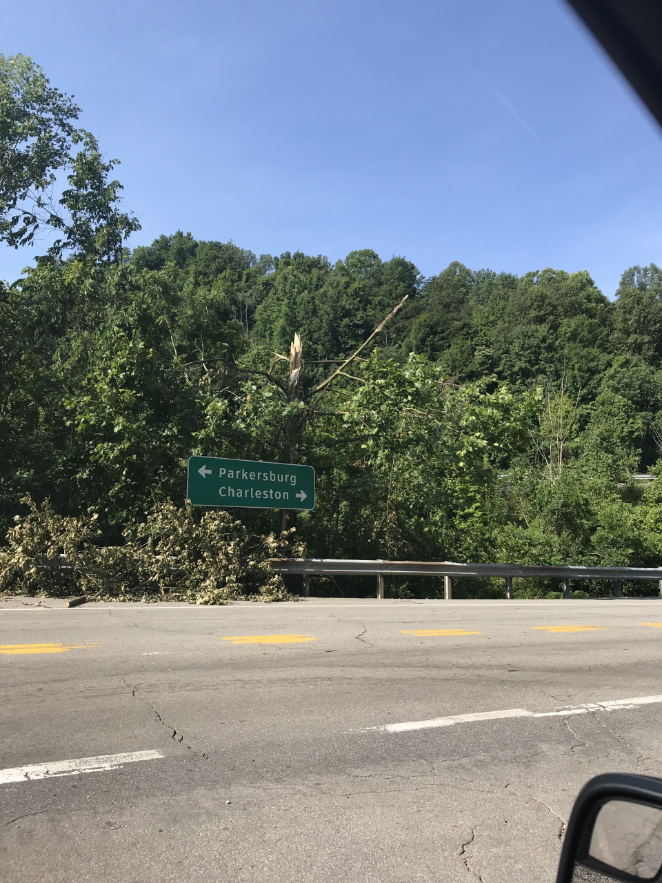
Wallace, WV Microburst
Location...Near Wallace in Kanawha County WV
Date...June 24 2019
Estimated Time...415 PM EDT
Estimated Maximum Wind Speed...90-100 mph
Maximum Path Width...2.1 miles
Path Length...2 miles
* Fatalities...0
* Injuries...0

...Summary...

A NWS damage survey team determined that a microburst caused
damage near Wallace on Monday June 24 2019.  The microburst began
along Sissonville Drive just north of the intersection with
Call Drive.  Limited tree damage was noted to the north and
west of this point.  More widespread tree damage was noted to
the south along Wolf Pen Drive and Old Tuppers Creek Road.
In addition to tree damage, a carport was destroyed and a
fence was pushed over.

* The information in this statement is preliminary and subject to
change pending final review of the event and publication in NWS
Storm Data.

$$
 |
 |
 |
Media use of NWS Web News Stories is encouraged! Please acknowledge the NWS as the source of any news information accessed from this site. |
 |