Queens (Upshur County) EF-1 Tornado
June 17, 2015
|
On June 17th, A strong east to west front was positioned near the Route 50 corridor. Thunderstorms formed during the mid and late afternoon and moved east through central West Virginia. Downpours were most common, with localized amounts of a half inch in 15 minutes. One storm pulsed to strong levels as it moved out of Ritchie County into Gilmer County. The same thunderstorm cluster also produced an EF1 tornado in Upshur County.
The tornado produced tree damage as well as some minor structural damage. Multiple trees were snapped, twisted, and broken along the path, especially in an open field on top of a hill just to the north of Tallmansville Road. Several buildings sustained roof and property damage. The National Weather Service survey team estimated the strongest wind gusts around 100 mph.
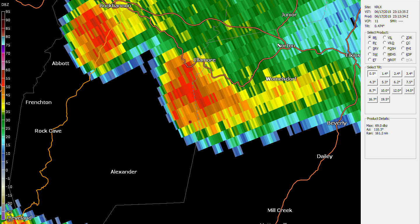
Radar Data
 |
 |
| This is an image of the 0.5 degree reflectivity data from KRLX at 7:13 pm of the circulation as it crossed over the Tallmansville Road area. Click to enlarge. | This is an image of the 0.5 degree base velocity (BV) data from KRLX at 7:13 pm of the circulation as it crossed over the Tallmansville Road area. Click to enlarge. |
| Storm Damage Images |
Follow this video LINK to watch a home video of the tornado, seen looking west from Tallmansville Road!
Official NWS Damage Survey Information Statement:


