Virtual Tour Navigation: Go Back | Go Forward | Tour Directory
Page: 1 2 3 4 5 6 7 8 9 10 11 12 13 14 15 16 17 18
The Automated Surface Observing System (ASOS) program is a joint effort between the National Weather Service (NWS), the Federal Aviation Administration (FAA), and the Department of Defense (DOD). The ASOS system serves as the nation's primary surface weather observing network. ASOS is designed to support weather forecast activities and aviation operations and, at the same time, support the needs of the meteorological, hydrological, and climatological research communities. For complete details on the ASOS program, click here.

In the NWS Raleigh County Warning Area, there are 7 ASOS units, including: Raleigh-Durham (KRDU), Piedmont Triad (KGSO), Fayetteville (KFAY), Laurinburg-Maxton (KMEB), Burlington (KBUY), Rocky Mount-Wilson (KRWI), and Winston Salem (KINT).
With the largest and most modern complement of weather sensors, the ASOS system has significantly expanded the information available to forecasters and the aviation community. ASOS works non-stop, updating observations every minute, 24 hours a day, every day of the year. Getting more information on the atmosphere, more frequently and from more locations is the key to improving forecasts and warnings. Thus, ASOS information helps the NWS increase the accuracy and timeliness of its forecasts and warnings.
ASOS reports the following basic weather elements:


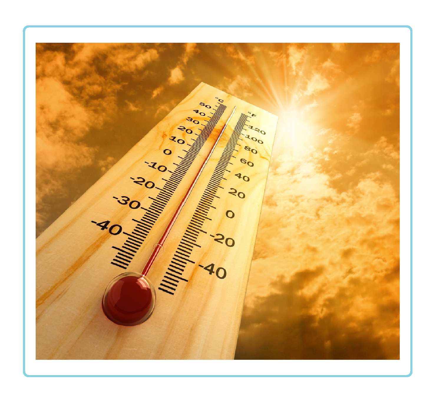 Heat Safety
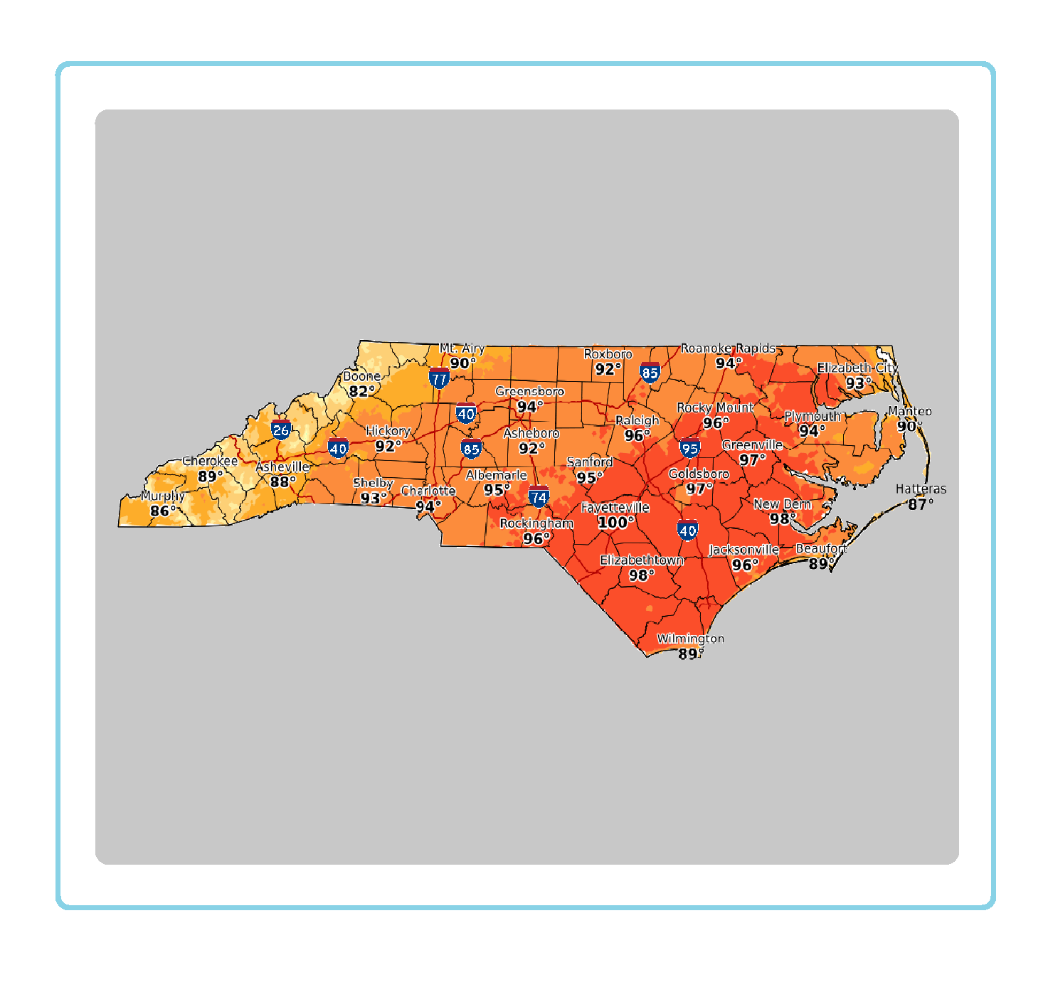 Statewide Maps
 Forecaster Discussion