
WSO Pago Pago Office Predicts a normal to BELOW normal Tropical Cyclone (TC) Season for 2024-25 for American Samoa Read More >
.JPG)
WSO Pago Pago
Weather Service Office
New graphics will be available following updated bulletins issued by the Joint Typhoon Warning Center (JTWC) for cyclones between 10-20S and 164.5W-178.5W.


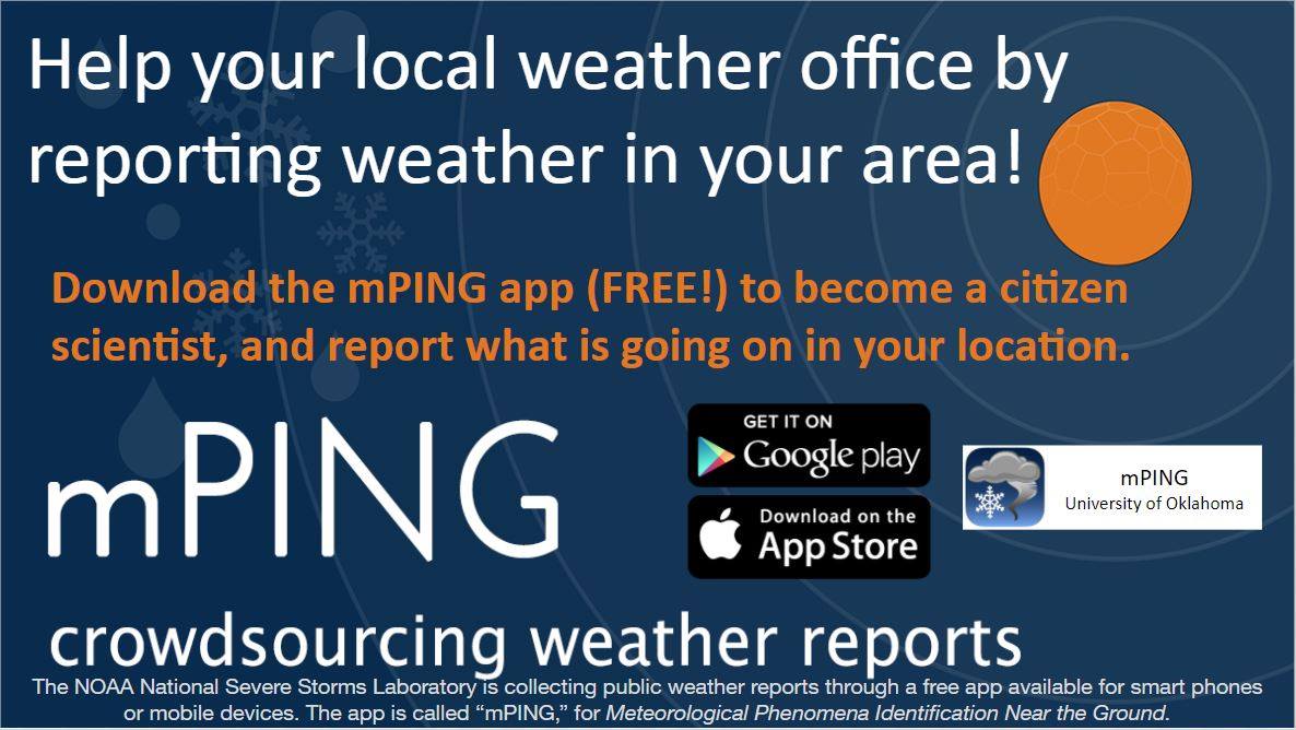 mPING (Ripoti mai Tala o le Tau)
 Pacific Tsunami Warning Center (PTWC)
 Previous 36hrs Airport Obs (Vaaiga o le Tau i le Malae Vaalele)
 Submit a Storm Report (Ripoti mai le Tau)
 Sunrise/Sunset Info (Oso/Goto le La)
 Tides Info (Tala o le Tai)