
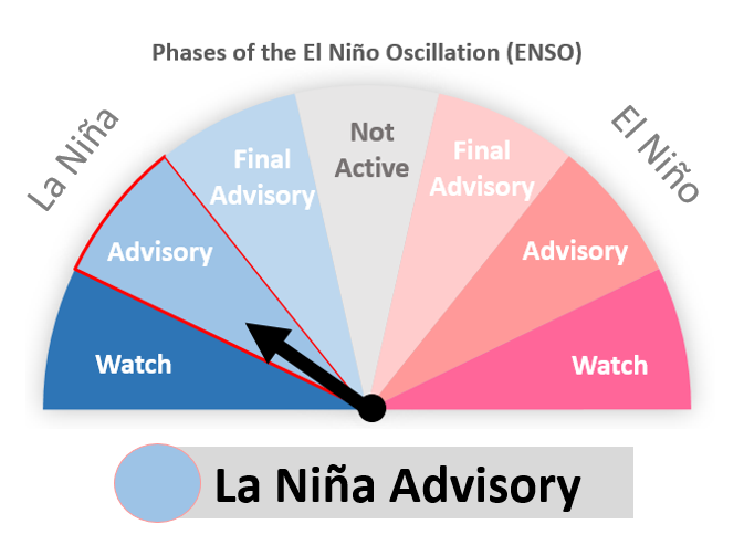
WSO Pago Pago Office Predicts a normal to BELOW normal Tropical Cyclone (TC) Season for 2024-25 for American Samoa Read More >
.JPG)
WSO Pago Pago
Weather Service Office
764

FTPA31 PHFO 151720

TAFSTU

TAF

NSTU 151720Z 1518/1618 VRB06KT P6SM FEW020 SCT040 BKN100

     AMD NOT SKED=
207

SAZS31 NSTU 152054

MTRPPG

METAR NSTU 152050Z 11007KT 12SM SCT022 BKN220 30/25 A2986 RMK SLP112

 8/101 T03020249 53010=
METAR Formatted Surface Weather Observation Issued: 04/16/2025 07:54:18 AM UTC


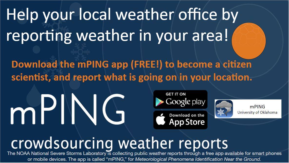 mPING (Ripoti mai Tala o le Tau)
 Pacific Tsunami Warning Center (PTWC)
 Previous 36hrs Airport Obs (Vaaiga o le Tau i le Malae Vaalele)
 Submit a Storm Report (Ripoti mai le Tau)
 Sunrise/Sunset Info (Oso/Goto le La)
 Tides Info (Tala o le Tai)