|
Channel Cross Section/Flow Measurement Data
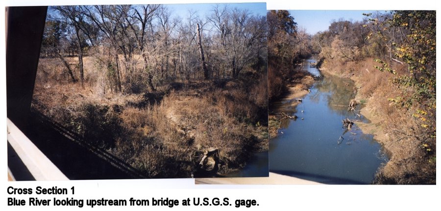
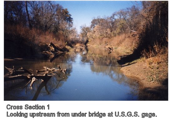
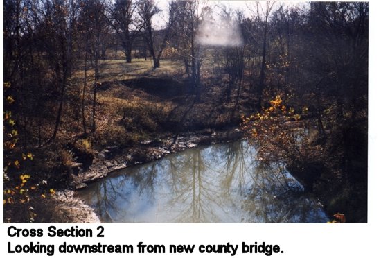
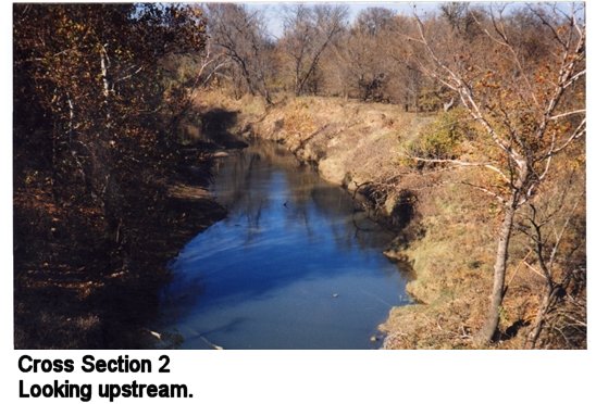
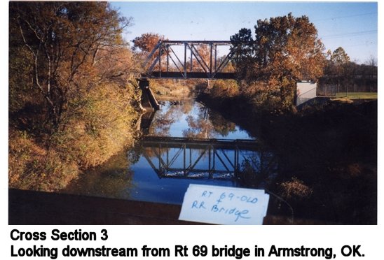
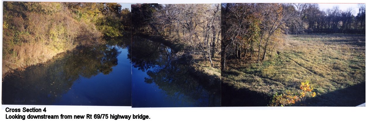
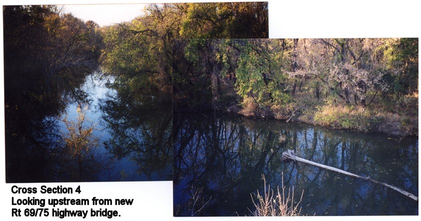
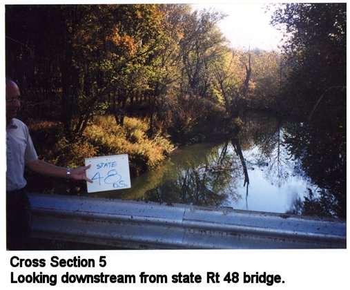
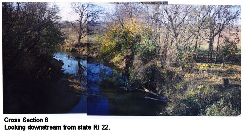
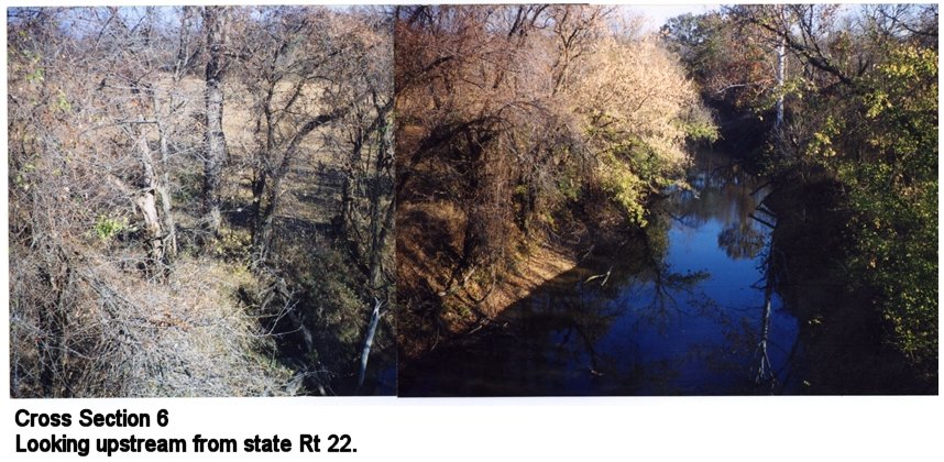
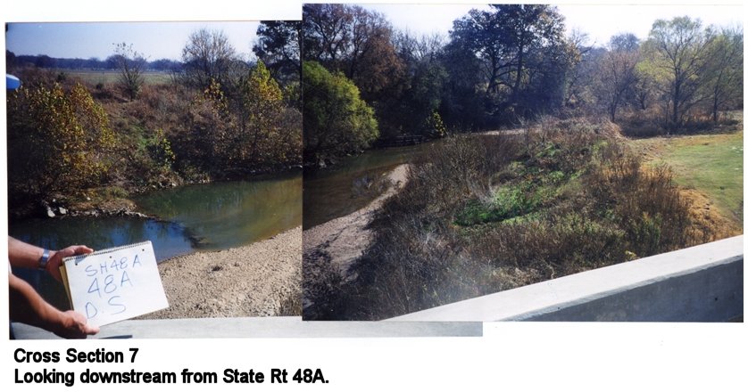
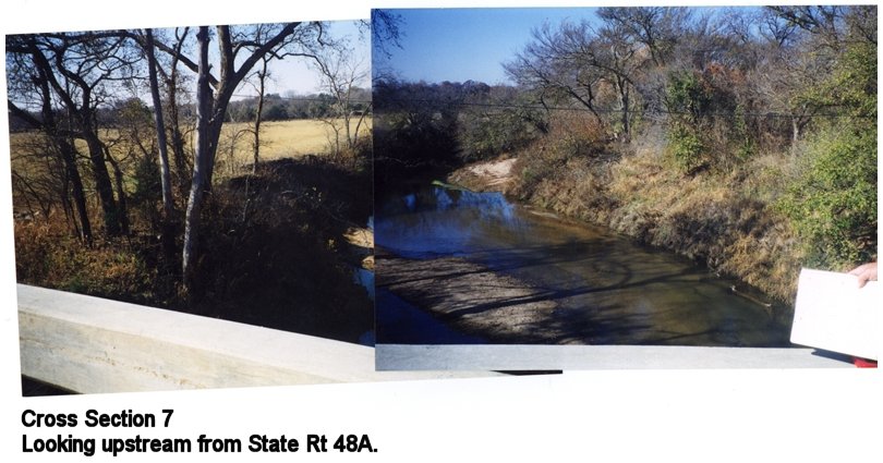
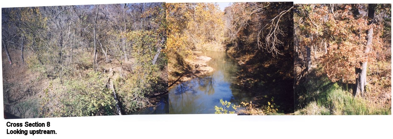
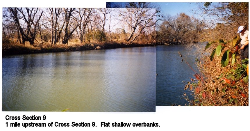
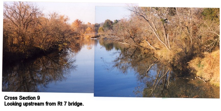
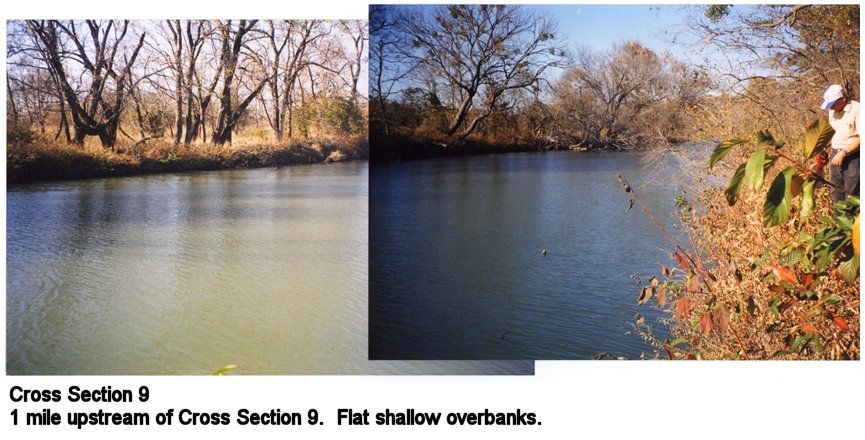
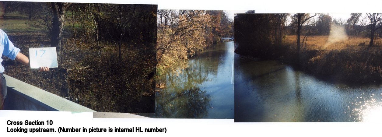
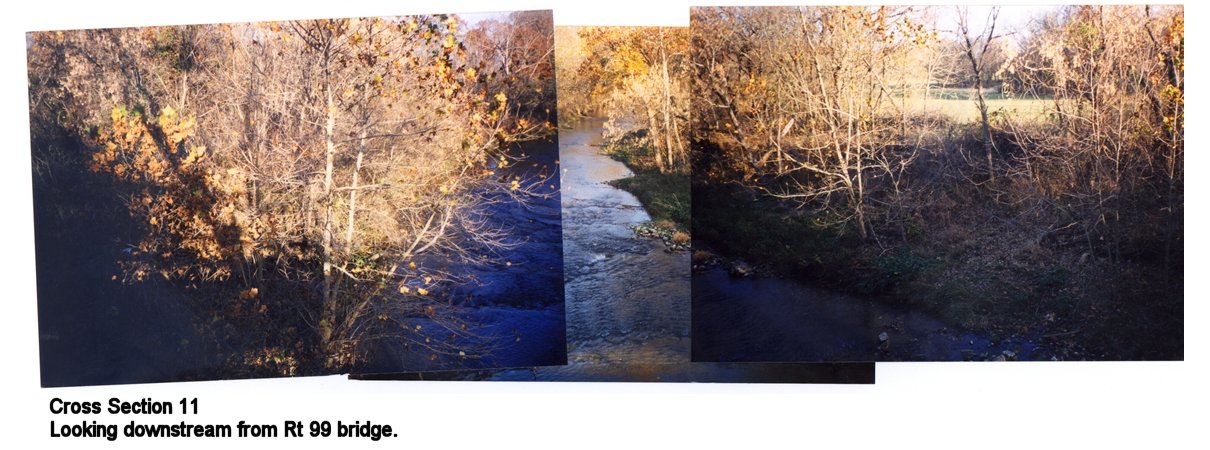
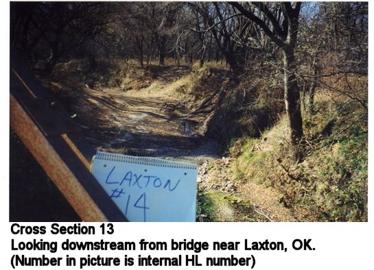
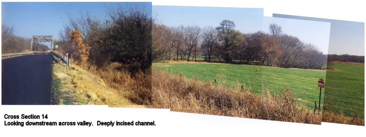
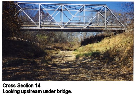
We currently only have measured cross-section data available for the Blue River above Blue, Oklahoma. Some modelers also find USGS flow measurement data useful in characterizing channel routing parameters. The USGS web site offers access to these measurements for all of the gages of interest in DMIP. These data can be accessed directly from the USGS web site: Streamflow Measurements, http://water.usgs.gov/nwis/measurements Cross Section data for the Blue River above Blue, Oklahoma Representative cross sections for the Blue River were derived from 3 sources of data: 1. Measurements taken during a site visit 2. Measurements taken from bridge plans at selected locations. 3. Data from hydraulic computations for bridge pier scour analyses. Two types of cross section data are provided. The first type of cross section has absolute elevations expressed in feet above mean sea level (feet msl). These cross sections were compiled from sources 1, 2 and 3 above in which the elevations were derived from surveyed bench marks. In some cases, the valley section as well as the channel cross section are described in order for the user to get a more accurate picture of the surrounding terrain. The second type of channel cross section has relative elevations. These cross sections were derived from measurements taken during a site visit and are not referenced to known elevations above mean sea level. Rather, the elevation coordinates of the section are relative and must be adjusted to fit to the elevation of the digital elevation model at that location. In all cases, the cross section data reflect a representative channel at that location. Coordinates of the section are expressed as distance/elevation pairs, measured from the left side of the channel looking upstream. The units are in feet for both distance and elevation. Cross sections are listed starting at the USGS gage and then move upstream. Latitude/Longitude locations are expressed in decimal degrees Click here for data. Captioned pictures of cross sections over Blue River are listed below: Cross Section 1 (a)
|
|
Main Link Categories: Home | HL | OHD | NWS |

