Last Map Update: Fri, Jan 23, 2026 at 2:28:59 pm CST


|
Local Weather History For January 23rd...
|
|
The lowest temperature recorded in the state of Oklahoma for the year
of 1906 was recorded on this date at Okmulgee, as the mercury dropped to minus 15 degrees. Despite being cold, the temperature was not a record. |
|
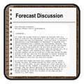
Text Product Selector (Selected product opens in current window)
|
|
 |
 |
 |
 |
 |
 |
| Observations | Discussion | Air Quality | Hydrology | FAQ | Social Media |
 |
 |
 |
 |
 |
 |
| Storm Reports | Gridded Forecast | Aviation | Climate | Storm Data | Weather Radio |
 |
 |
 |
 |
 |
 |
| Satellite | Hourly Forecast | Fire Weather | Past Events | StormReady | Storm Spotters |


 Local Radar
 Weather Map
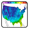
 Drought Conditions