National Weather Service United States Department of Commerce

Winter Storm in the Central Appalachians through the Northeast; Heavy Snow in the Great Basin and Rockies

A winter storm will impact the central Appalachians to the Northeast through the night. Accumulating snow is expected for interior New England and the northern Mid-Atlantic. Scattered showers and occasional thunderstorms will persist across Florida and the Southeast coast. Locally heavy mountain snow is expected in the Great Basin and Rockies over the next couple of days. Read More >

A front moving through tonight could bring some flurries or light freezing drizzle to the area overnight into early Wednesday. With it will come the coldest temperatures of the season so far with temperatures falling through the day on Wednesday, dropping below zero in most areas by Thursday morning. Temperatures start to rebound but remain chilly on Thursday, and warm back up into the 30s by Friday.
With temps set to take a tumble, here are a handful of good reminders that keep you and the things you care about safe! We know that cold is a reality every winter in Iowa and Nebraska, but it doesn't always come around this early!
There is a low chance (15-20%) for light freezing drizzle to develop overnight into Wednesday morning. If it occurs, untreated roads could become slick. Check the road conditions before heading off to work or school in the morning.
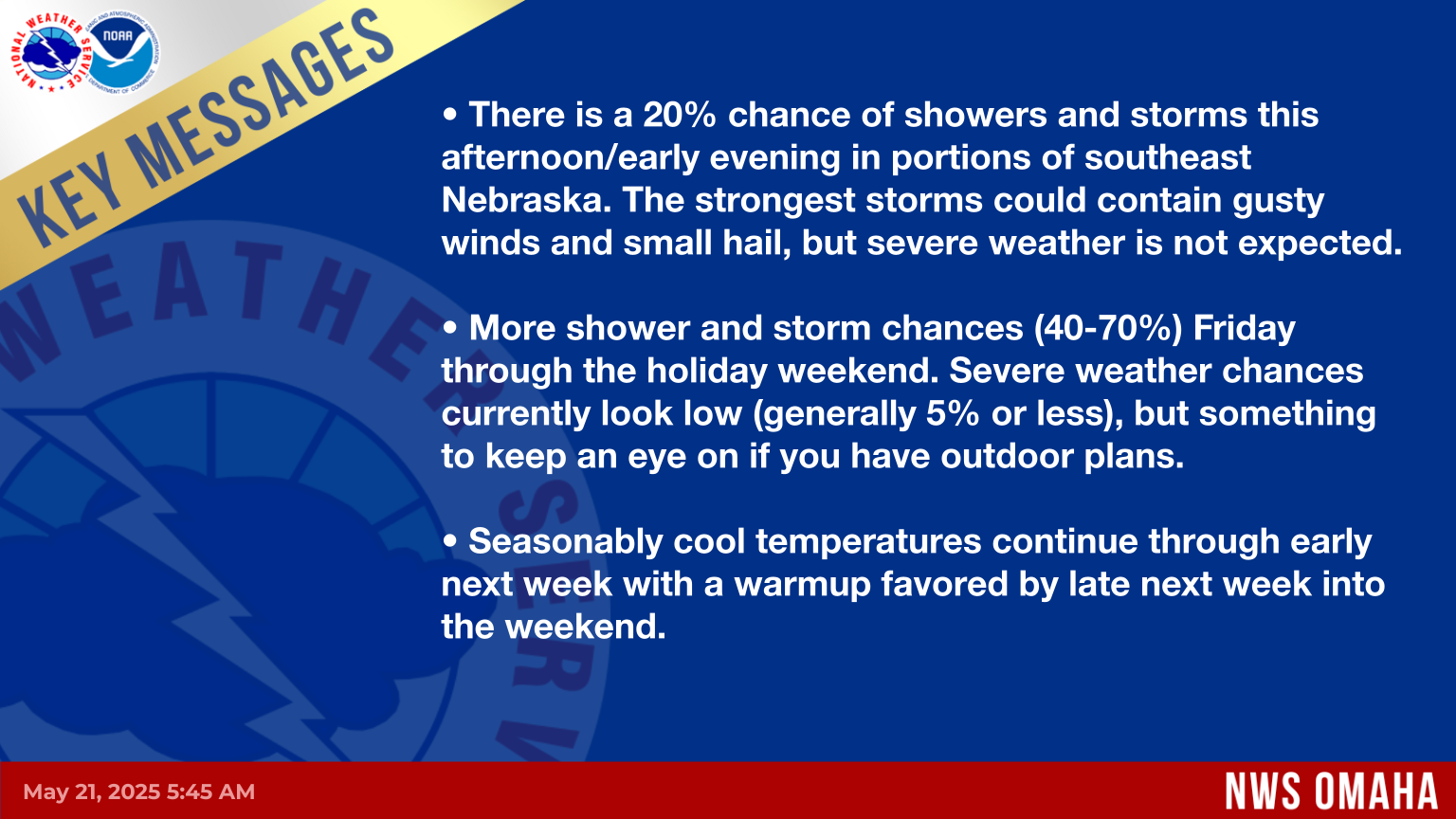
Key forecast messages through the next 7 days for eastern Nebraska and western Iowa. For more forecast information:

🏡 NWS Omaha/Valley, Nebraska Homepage - Get a forecast for any location.

📃 Hazardous Weather Briefing (DSS Packet)