FORECAST GRAPHICS
Choose a forecast product type (temperature, wind, cloud cover, etc) and desired time from the menu/slider bars at the top of the map. The map will update automatically. Use your mouse to zoom into/pan around on the map. Forecasts are issued for the next 7 days. Please click anywhere in the map for additional forecast links.
CURRENT SATELLITE AND RADAR IMAGES
|
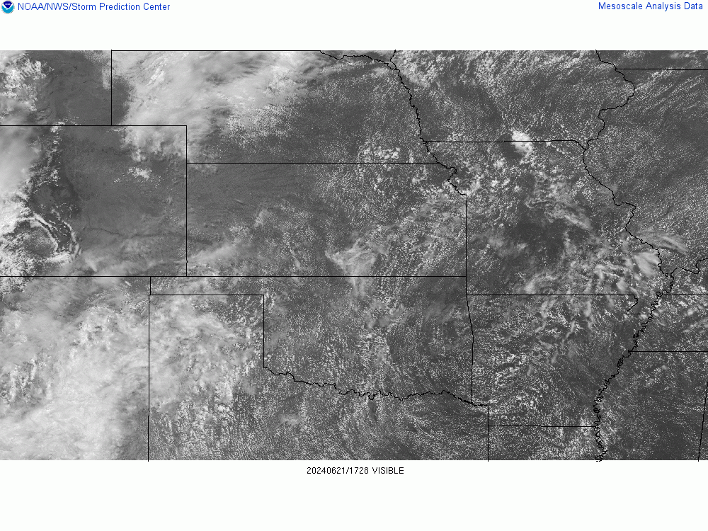
Recent Visible Satellite Image (only viewable during the daylight hours)
|
|
Recent KOAX Radar Imagery
|
ECLIPSE VIEWABILITY
Local Forecasts and Approximate C1, C2, C3, C4, and Total Duration Times
| City Location | Start of Partial Eclipse C1 | Start of Total Eclipse C2 | Maximum Eclipse | End of Total Eclipse C3 | End of Partial Eclipse C4 | Total Duration of Total Eclipse mm:ss |
|---|---|---|---|---|---|---|
Norfolk, NE  |
11:36:03 | NA | 1:00:58 | NA | 2:26:47 | 97.5% coverage |
| Fairbury, NE |
11:36:23 | 1:01:44 | 1:02:44 | 1:03:44 | 2:29:47 | 1:59 |
| Seward, NE |
11:36:31 | 1:01:33 | 1:02:21 | 1:03:10 | 2:28:55 | 1:36 |
| Crete, NE |
11:36:46 | 1:01:36 | 1:02:49 | 1:04:02 | 2:29:32 | 2:26 |
| Beatrice, NE |
11:37:09 | 1:02:14 | 1:03:31 | 1:04:48 | 2:30:26 | 2:34 |
| Lincoln, NE |
11:37:13 | 1:02:31 | 1:03:12 | 1:03:54 | 2:29:45 | 1:22 |
| Tecumseh, NE |
11:38:09 | 1:03:20 | 1:04:34 | 1:05:48 | 2:31:18 | 2:27 |
| Syracuse, NE |
11:38:09 | 1:03:42 | 1:04:21 | 1:05:00 | 2:30:54 | 1:17 |
| Pawnee City, NE |
11:38:14 | 1:03:32 | 1:04:50 | 1:06:08 | 2:31:43 | 2:36 |
| Omaha, NE |
11:38:32 | NA | 1:04:19 | NA | 2:30:25 | 98.5% coverage |
| Auburn, NE |
11:38:47 | 1:04:11 | 1:05:15 | 1:06:19 | 2:31:54 | 2:07 |
| Falls City, NE |
11:39:15 | 1:04:41 | 1:05:59 | 1:07:17 | 2:32:47 | 2:36 |
| Harlan, IA |
11:39:42 | NA | 1:05:18 | NA | 2:30:58 | 96.6% coverage |
| Red Oak, IA |
11:39:53 | NA | 1:06:00 | NA | 2:32:05 | 98.5% coverage |
| Path of Totality and Maximum Eclipse Times (red lines = outer path of totality, blue line = center line of totality, yellow lines = approximate times)  |
|
Eclipse Path Across Nebraska (image courtesy NASA)  |
CLIMATOLOGY
This map shows the likelihood of being able to view the solar eclipse, based on historical cloudiness data from the NOAA NCEI 10-year hourly climate normals dataset. The darker the dot, the greater the chance for cloudiness at the hour of peak viewing during the eclipse. More information about this map can be found HERE.
Climate Normals for a few Sites in the Path of Totality

Wind Rose Climatology
The following plots show the normal wind speed and direction for August 21 from 8 am through 4 pm.
|
Lincoln, Nebraska
|
Falls City, Nebraska
|
Hourly Climate Normals for Lincoln, NE

MISCELLANEOUS LINKS