New page available: https://www.weather.gov/oax/oaxdss
|
Current Conditions and Seven Day Forecast |
||
| Current Conditions | Forecast | Severe Weather | Hydrology/Rivers | Winter Weather | Fire Weather | Safety |
 Upper Midwest Radar Loop |
 Omaha Radar Loop |
 Central Plains Geocolor Satellite Image (Loop) |
 Upper Midwest Infrared Satellite Image (Loop) |
The purpose of this experimental Winter Storm Severity Index (WSSI) is to provide NWS partners and the general public with an indication of the level of winter precipitation (snow and ice) severity and its potential related societal impacts. The WSSI does not depict official warnings, and should always be used in context with official NWS forecasts and warnings. Because this is an experimental product, it may not update in a timely fashion. Always check the creation and valid times. For more information, please refer to the following link: WSSI web page
 |
|
The start time for these graphics reset every 12 hours at 6:00am and 6:00pm CST. The forecast is also routinely updated by this time and more frequently as conditions warrant.
|
Total Snow Accumulations for the Next 3 Days |
Six Hourly Forecast Snowfall Amounts for Nebraska through |
Wind Chill Temperatures for Nebraska every Three Hours through |
||||||||||||||||
 |
|
|
|
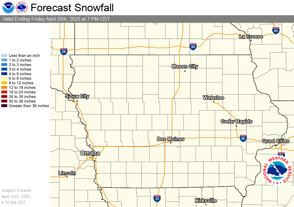
Forecast Snowfall Amounts for Iowa for the Next 3 Days |
Six Hourly Forecast Snowfall Amounts for Iowa through |
Wind Chill Temperatures for Iowa every Three Hours through |
||||||||||||||||
 |
|
|
Heavy
|
 Day 1 |
 Day 2 |
 Day 3 |
Freezing Rain Outlooks |
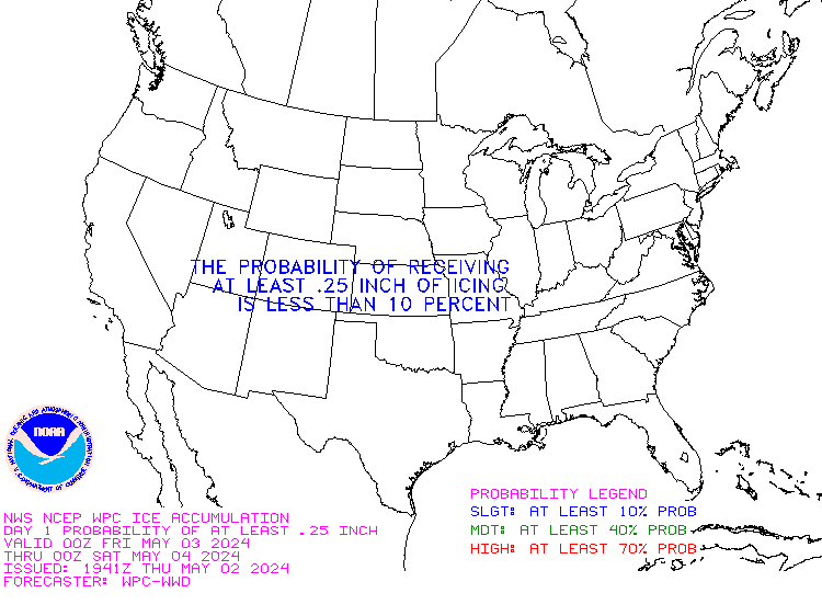 Day 1 |
 Day 2 |
 Day 3 |
 |
|
||||||