A slow moving front extending from the Great Lakes region into the Plains will bring snow, wintry mix, and ice accumulation north of the front from the Upper Midwest into New England, and severe weather and heavy rain south of the front. Scattered severe thunderstorms with damaging gusts, severe hail, and heavy rain are expected across parts of the Great Lakes/Midwest through tonight. Read More >
NOAA Weather Radio
National Program
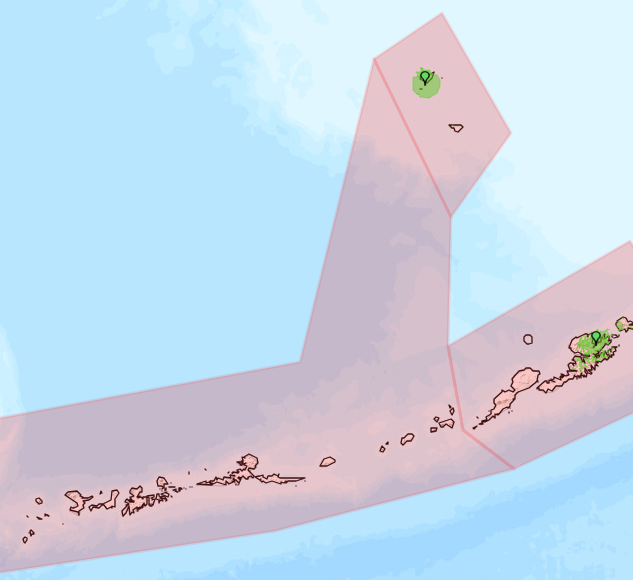
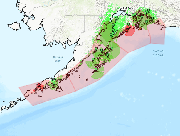
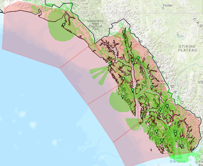
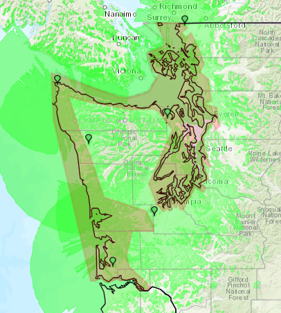
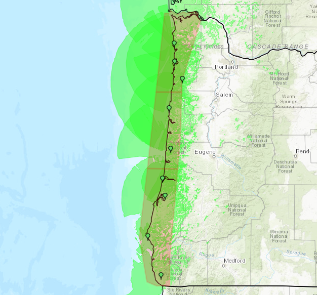
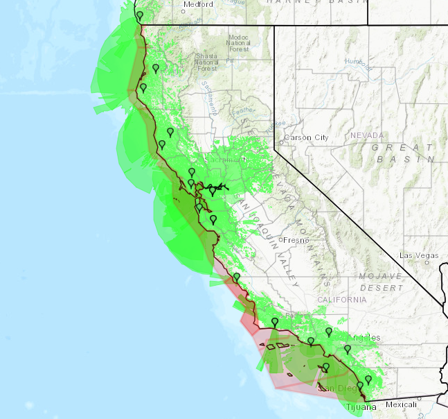
Some NOAA Weather Radio (NWR) stations broadcast tsunami warnings and alerts. The maps below show the tsunami alerting areas and nearby stations that provide these warnings and alerts for the corresponding regions.
Tsunami alerts broadcast over NWR include Tsunami Watches, Advisories, and Warnings. The National Weather Service (NWS) has created maps of NWR coverage overlaid with existing tsunami alerting areas, which correspond to NWS public weather forecast zones. Tsunami alerting areas are displayed in pink, while NWR broadcast areas are shown in green.
US Dept of Commerce
National Oceanic and Atmospheric Administration
National Weather Service
NOAA Weather Radio
1325 East West Highway
Silver Spring, MD 20910
Comments? Questions? Please Contact Us.