
A storm system will continue to produce widespread showers and thunderstorms as it progresses eastward across the central U.S. into the Northeast through the weekend. There are risks of severe thunderstorms and excessive rainfall on Saturday from the Ozarks into the mid-Mississippi River Valley with potential for damaging winds, large hail, tornadoes, and flash flooding. Read More >
Click on a
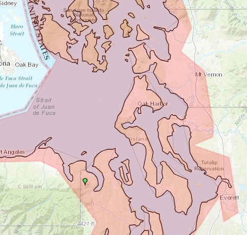
red  ,
yellow
,
yellow  or
green
or
green  icon to view transmitter details
| Normal | |
| Degraded | |
| Out of Service | |
Geolocation to get your browser location
(if you grant permission)
Note: The list below shows the stations that transmit Tsunami alerts and warnings
| Callsign | Site Name | Frequency | Site State | Status |
|---|

