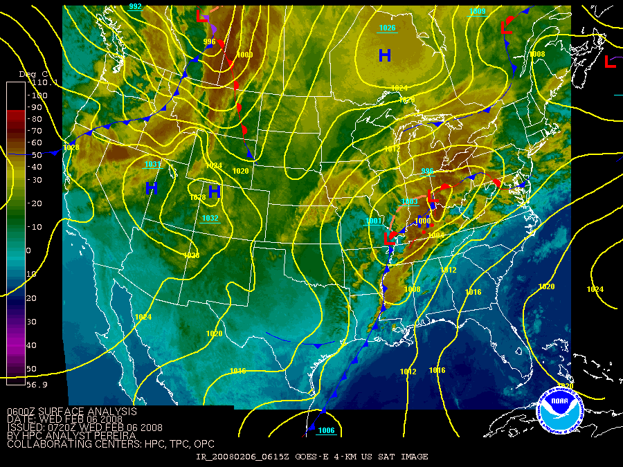
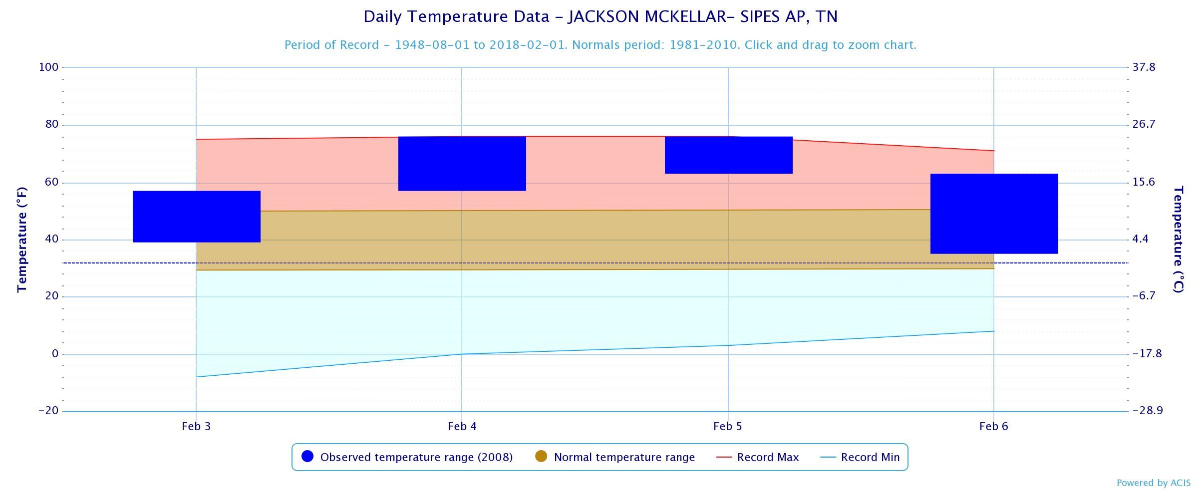
On Tuesday, February 5, 2008, there was a large and deadly tornado outbreak across much of the southern United States. The event, which is commonly referred to as the "Super Tuesday Outbreak," refers to the many states across the country that held primary elections on that day. A cold front was located to the west of the Mid-South, with a warm and unstable airmass over the region that was characterized by high temperatures in the 70s and dewpoints in the mid to upper 60s.
 |
 |
 |
 |
 |
 |
 |
The Storm Prediction Center (SPC) issued an area of High Risk for severe weather with Memphis being in the center of the high risk area. SPC stated "[The] overall synoptic setup will become quite favorable for an outbreak of severe thunderstorms and tornadoes, including long-lived tornadic supercells, centered on the Mid-South this afternoon and evening."

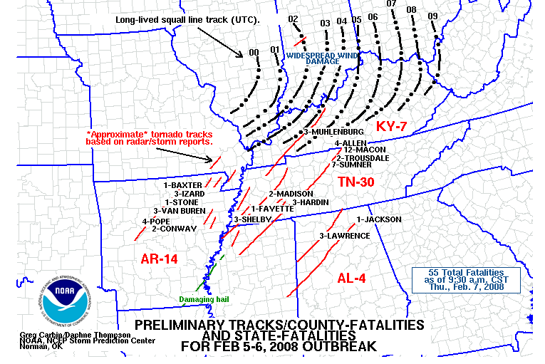
Map of "Super Tuesday" Tornado Outbreak across the Southeastern U.S.
Mid-South Synopsis
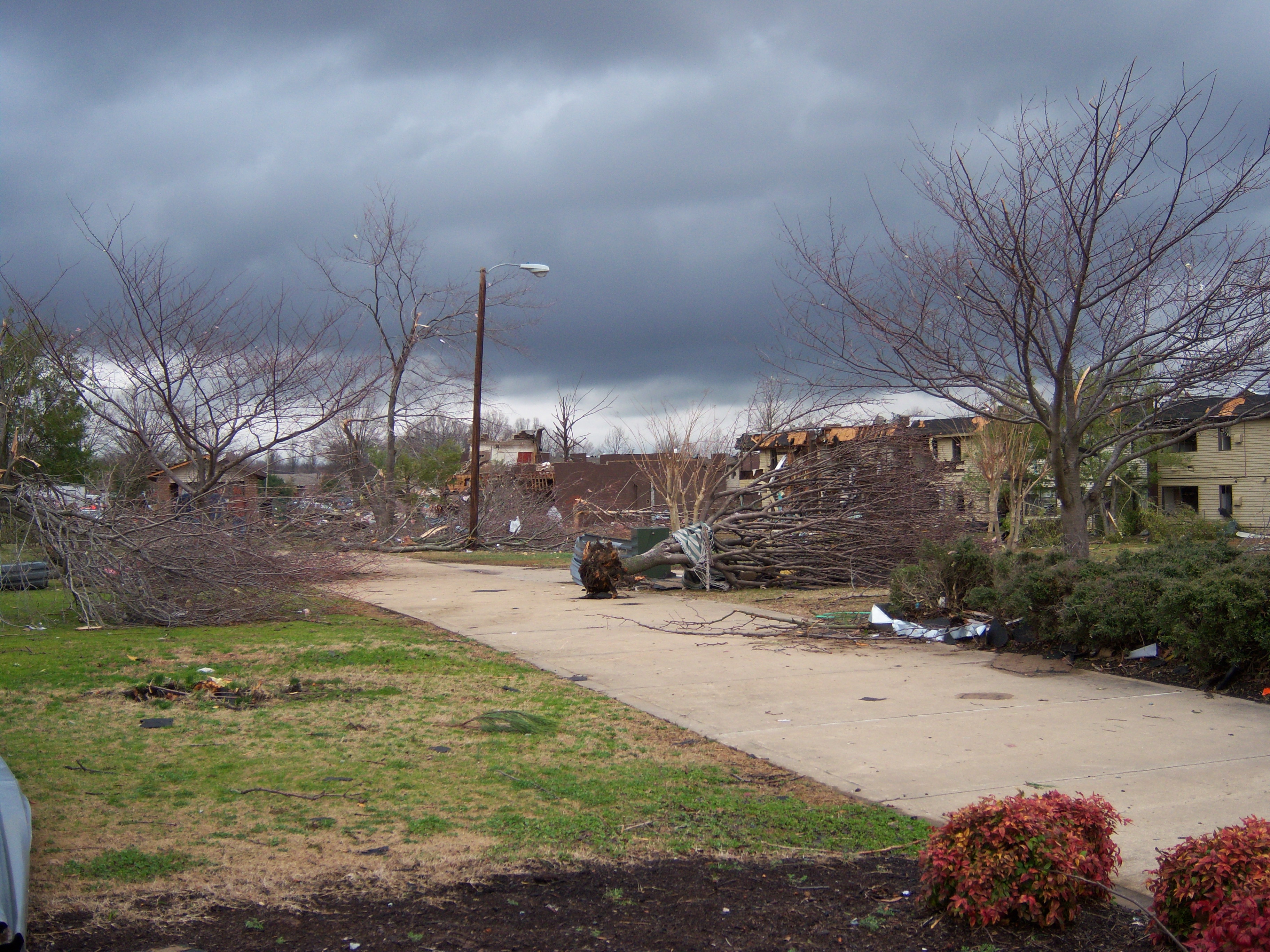
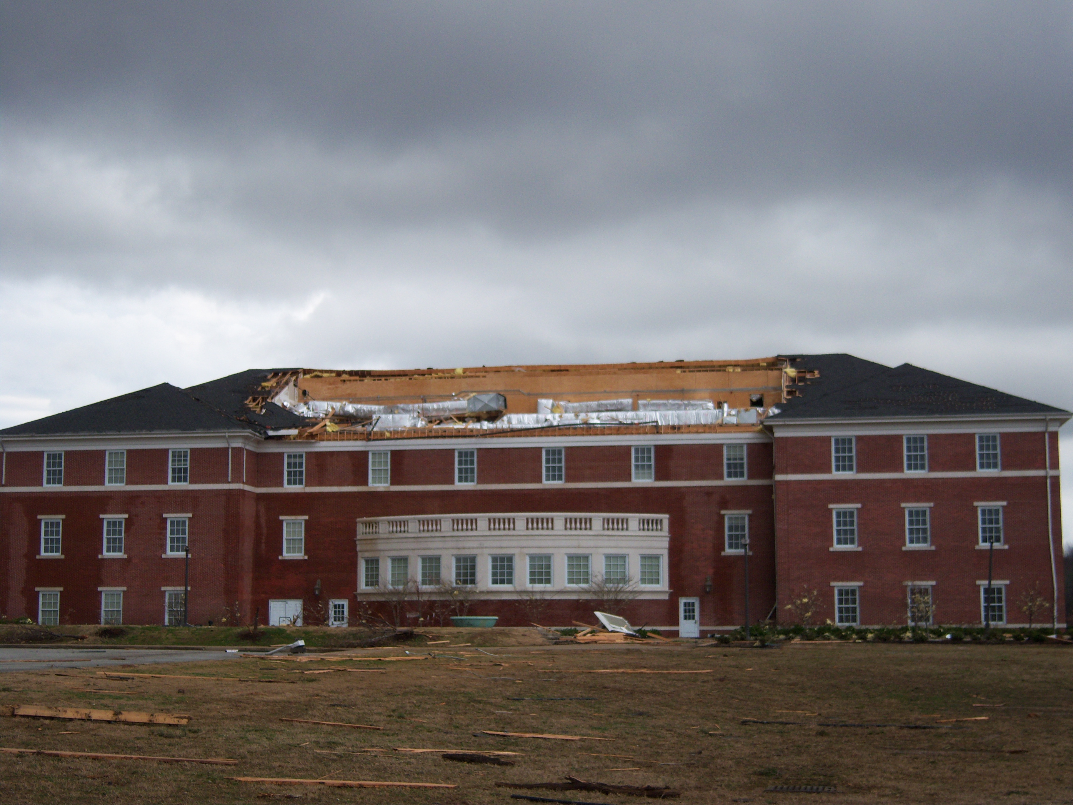
An outbreak of tornadoes began around 4:30 PM and last nearly four hours until 8:30 PM CST. The first tornado occurred just before 4:30 p.m. and the last one occurred just after 8:00 p.m. A total of 25 tornadoes were surveyed across the Mid-South. Four of the tornadoes were in Arkansas, 8 in Mississippi, 13 in Tennessee. (Note: one of the tornadoes in Mississippi crossed from DeSoto County into Shelby County, Tennessee). Many buildings, transmission towers, and dormitories were damaged near Jackson, Tennessee, where an EF-4 tornado touched down after sundown. Remarkably, a total of just 9 fatalities occurred with 106 injuries for the outbreak across the Mid-South. Nearly half of the injuries were attributed to the EF-4 that touched down at Union University north of Jackson, TN around 7:00 PM that evening.

Here is a radar loop from February 5, 2008, with the warning polygons

| EF-Scale | Number of Tornadoes | Wind Speed (mph) |
|---|---|---|
| 0 | 9 | 65-85 |
| 1 | 8 | 86-110 |
| 2 | 4 | 111-135 |
| 3 | 2 | 136-165 |
| 4 | 2 | 166-200 |
| 5 | zero | Over 200 |
Here are some images from the storms and the damage from the storms. (click image to enlarge)
|
Wall Cloud in NE Shelby County |
NE Shelby County |
NE Shelby County |
|
Hickory Hill Area |
Hickory Hill Area |
Hickory Hill Area |
|
Oxford Area |
Oxford Area |
Oxford Area |
|
Jackson Area |
Jackson Area |
Jackson Area |