Missouri Basin, Pleasant Hill
River Forecast Center
|
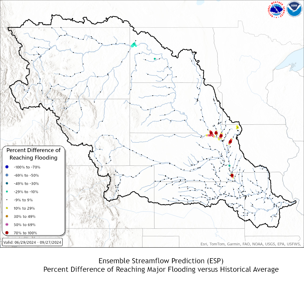
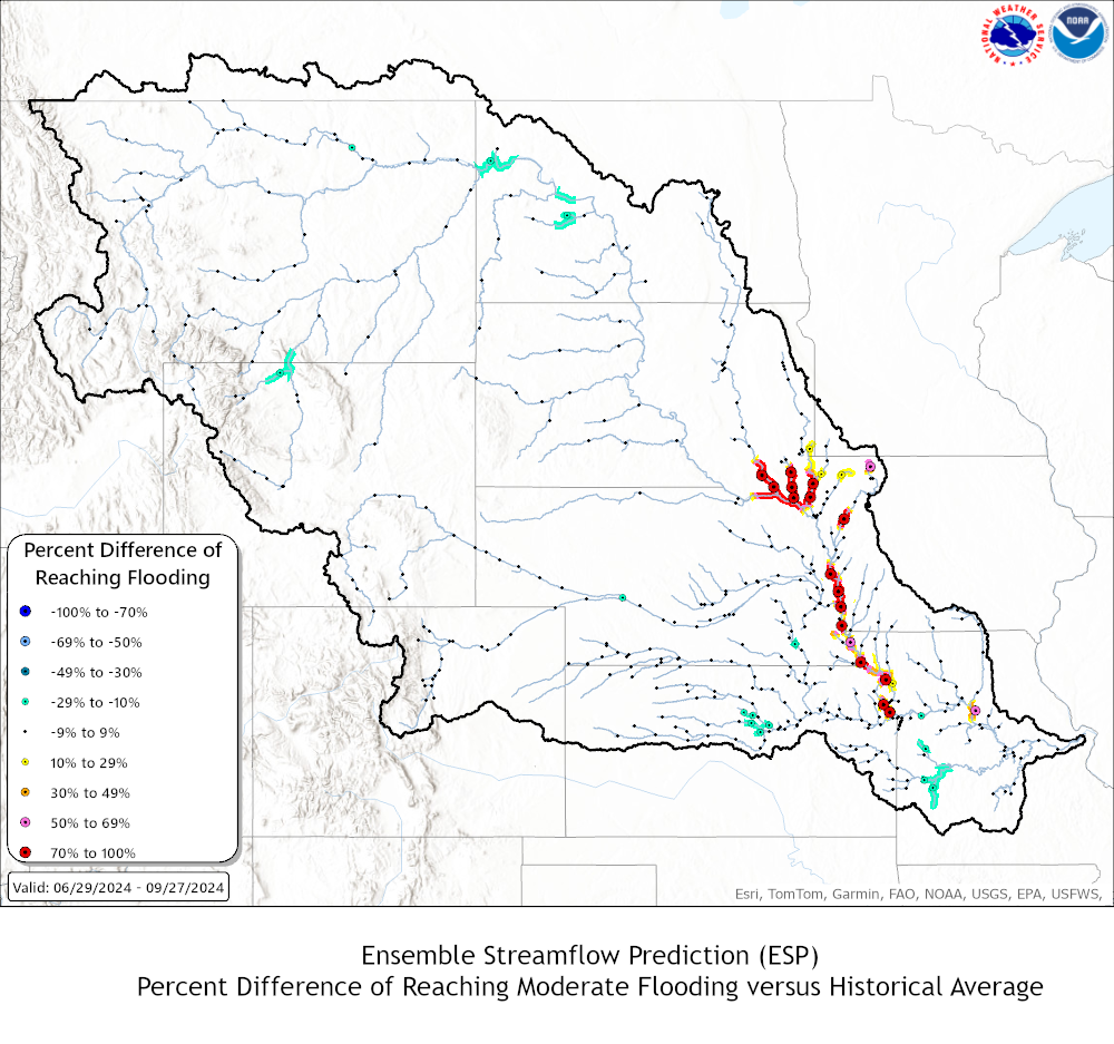
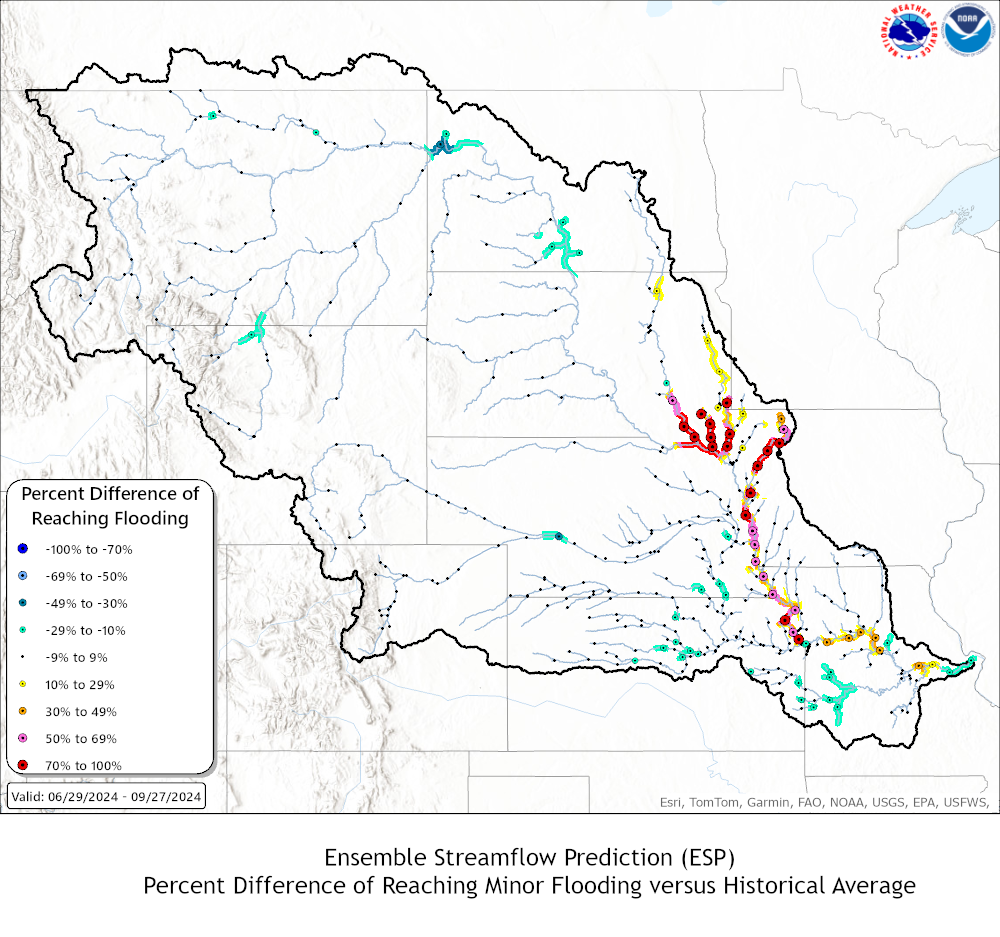
These graphics represent the general probabilities of exceeding minor, moderate, and major flood levels based on ensemble streamflow prediction analysis. The long-range probabilistic outlook contains forecast values that are calculated using multiple season scenarios from 30 or more years of climatological data including current conditions of the river, snow cover, and soil moisture. Go to WFO NWPS pages to view more detailed probabilistic information for each river location.
Click here for detailed explanation of the graphics.
 |
 |
|
|
 |
 |
|
|
|
ESG Text Products ***Disclaimer - Water Year ESGs may be a different version than linked. We have linked version 2, but they may fall as version 3. We apologize for the inconvenience!*** |
|||
|
|
|||
US Dept of Commerce
National Oceanic and Atmospheric Administration
National Weather Service
Missouri Basin, Pleasant Hill
1803 North 7 Highway
Pleasant Hill, MO 64080-9421
Comments? Questions? Please Contact Us.


