|
SKYWARN/HAM RADIO
|
REPORTS FROM THE FIELD
Despite great advances in computer technology, sometimes nothing quite compares to a first-hand report. We know where its raining, and have  computer guidance on when or where it should flood, but we cannot tell if flooding has already starting. Likewise, we know if its windy, but cannot tell if the winds have toppled trees, caused power outages, or damaged structures. However, since we're tasked with protecting life and property, we need to know this type of information. Thus, we have a network of volunteers called SKYWARN® spotters. Class participants take a 3 hour long introductory course offered by us during which they are instructed on how to spot severe weather, and when to report appropriate items- typically thunderstorm damage during the spring and summer months and snowfall accumulations during the winter. If interested in more details on the SKYWARN® program, visit our SKYWARN® page by clicking here.
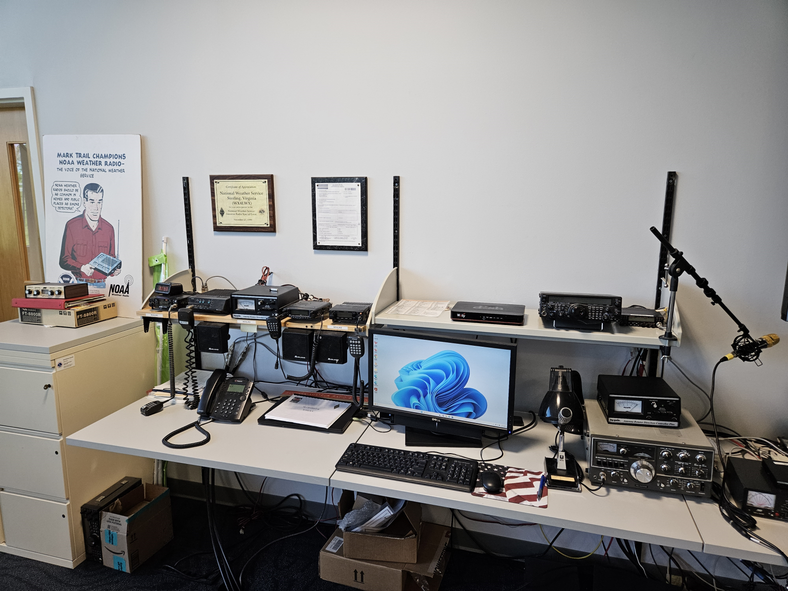
Obviously, all of our SKYWARN® observers are weather enthusiasts. A good percentage of them are also amateur radio operators. During large or major weather events, a ham radio operator comes to the office to work the console pictured above, which is located at the edge of the operations floor. Thus, we gain additional information on the weather's impact in real time, helping us make warning decisions.
| <<< Back to Radar Operations |


 Coastal Flood
 FAQ
FAQ