Chicago, IL
Weather Forecast Office
Overview
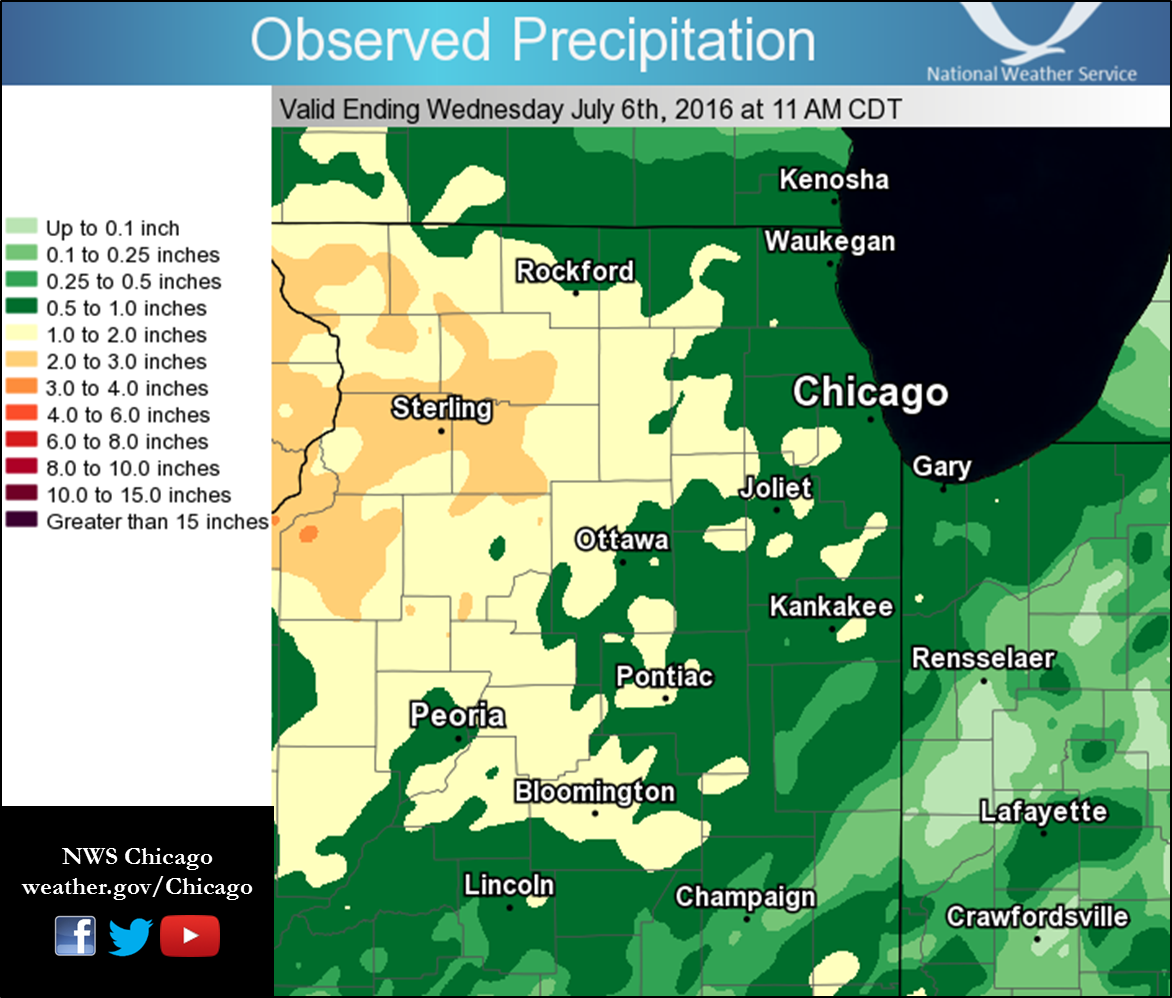
A complex of strong to severe thunderstorms producing heavy rainfall and prolific lightning moved across northern and central Illinois and northwest Indiana early Wednesday.Wind & Hail:
Sporadic strong to severe wind gusts and sub severe hail occurred as the complex of thunderstorms worked its way southeast across northern Illinois and Indiana after producing widespread damage in Minnesota and Wisconsin.
Wind
.
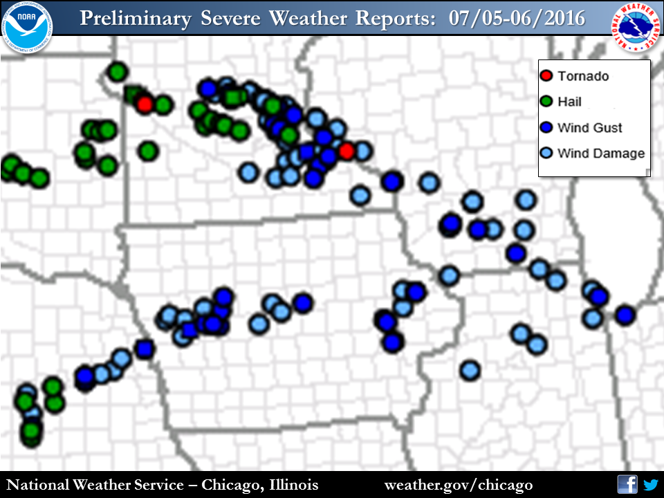 |
Photos & Video:
Damage and Lightning Photos
 |
 |
 |
 |
 |
 |
|
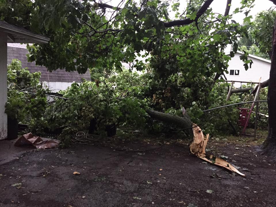
Damage in Harvard Courtesy of Mark Ellis |
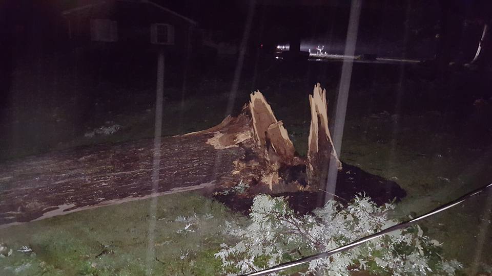
Damage in Ottawa Courtesy of Matt Spika |
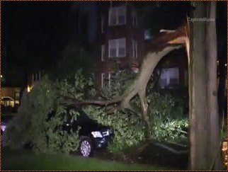
Damage in Evanston Courtesy Captured News |
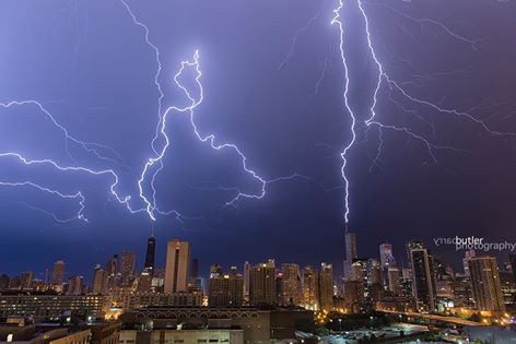
Lightning over Chicago Courtesy of Barry Butler |
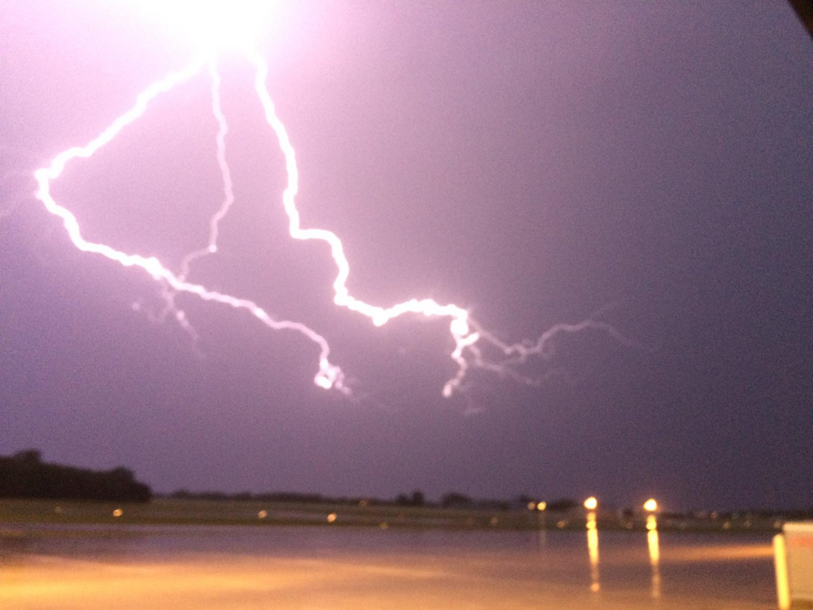
Lightning over Waukegan Courtesy of Anson Mount |
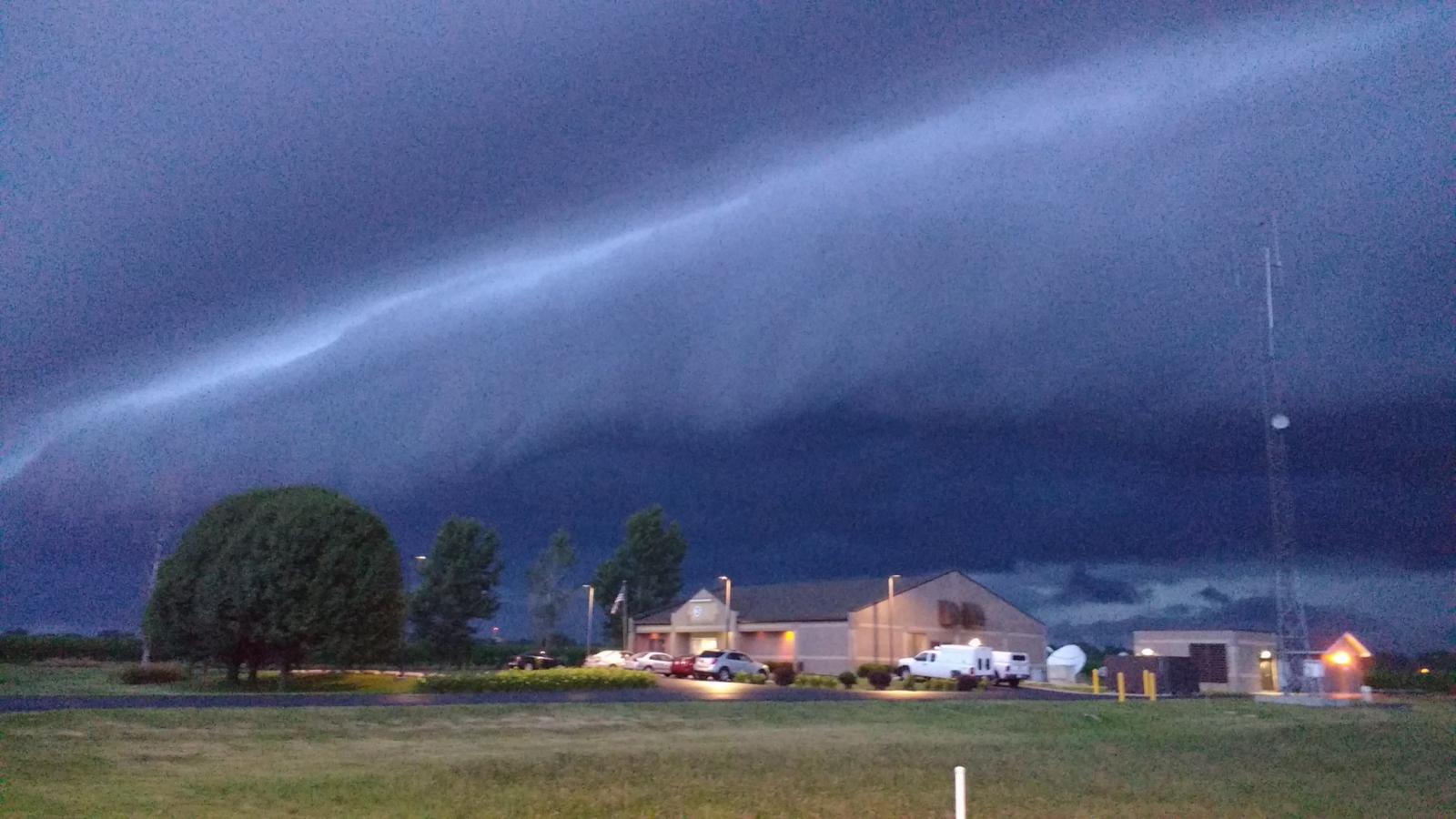
Shelf Cloud over Lincoln Courtesy of NWS Lincoln |
Radar:
Regional Radar and Cloud to Ground Lightning Loop
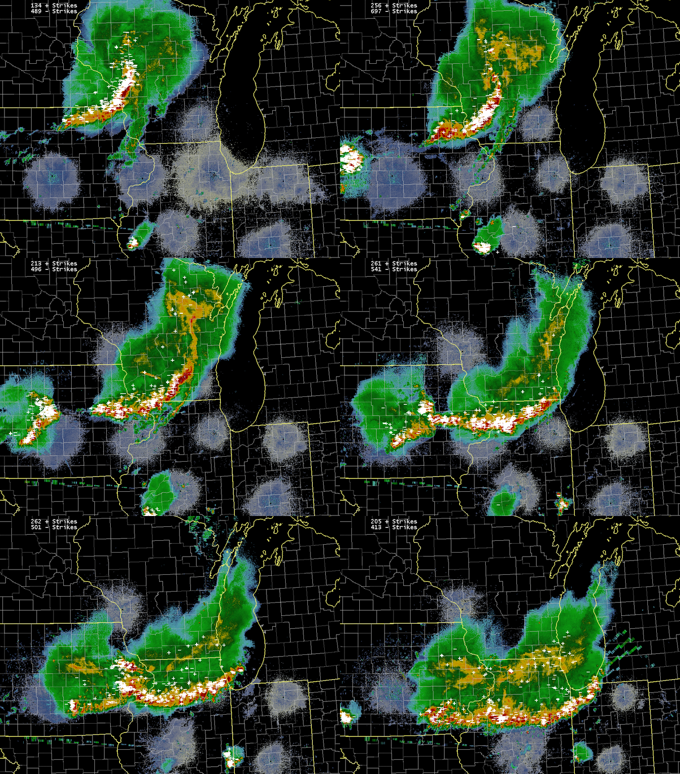 |
| ~10pm CDT Tuesday to ~3:30 AM CDT Wednesday |
Rain Reports
 |
Media use of NWS Web News Stories is encouraged! Please acknowledge the NWS as the source of any news information accessed from this site. |
 |
Hazards
Enhanced Hazardous Weather Outlook
Hazardous Weather Outlook
National Briefing
Skywarn
Outlooks
Watch/Warning/Advisory Criteria
Snow Squall Warnings
Local Forecasts
Text Products
Aviation
Marine
Fire
Enhanced Data Display (EDD)
Great Lakes Marine Portal
Lake Michigan Beach Forecast
El Nino
Snow and Ice Probabilities
Past Weather
Weather Event Write-Ups
Stormdata
Holiday Climate Data
Climate Plots
Education
Play Time for Kids
Jetstream
Student Opportunities
NWS Training Portal
US Dept of Commerce
National Oceanic and Atmospheric Administration
National Weather Service
Chicago, IL
250 George J Michas Dr.
Romeoville, IL 60446
815-834-1435 8am-8pm
Comments? Questions? Please Contact Us.

