Active pattern across the country with an atmospheric river event across the Northwest into the northern Rockies and a cold front moving through the east. For the west, accumulating snow and strong winds for the higher elevations are expected through Tuesday. Meanwhile, a cold front moves across the east with gusty winds and snow showers across the Great Lakes and New England. Read More >
Chicago, IL
Weather Forecast Office
Normals and Records

| First Freeze Normals | ||
| Normal First Autumn 32° or Lower | First Freeze Date Last Year (2021) | |
| Chicago (O'Hare) | October 19 | November 2 |
| Rockford | October 13 | October 23 |
Normals are based on 1991-2020 data.
| First Freeze Records | ||
| Earliest First Autumn 32° or Lower | Latest First Autumn 32° or Lower | |
| Chicago | September 22, 1995 (32°) | November 24, 1931 (30°) |
| Rockford | September 13, 1975 (32°) | November 11, 2016 (32°) |
History of the Chicago and Rockford Weather Observation Sites.
Illinois Normal and Record First Freezes | Indiana Normal and Record First Freezes
This Autumn's Temperatures
Text Listing of Local Area Observed Low Temperatures
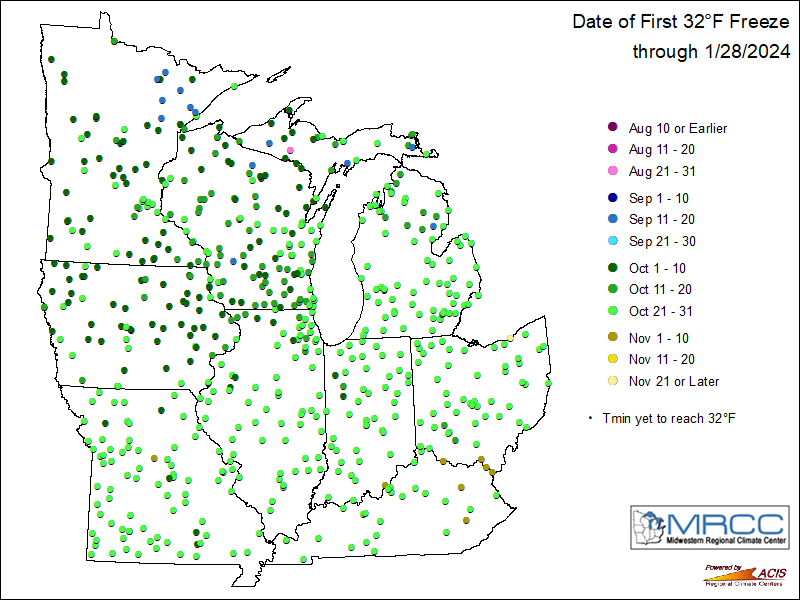
Maps of Midwest Recently Observed Low Temperatures

Other Information
Hazards
Enhanced Hazardous Weather Outlook
Hazardous Weather Outlook
National Briefing
Skywarn
Outlooks
Watch/Warning/Advisory Criteria
Snow Squall Warnings
Local Forecasts
Text Products
Aviation
Marine
Fire
Enhanced Data Display (EDD)
Great Lakes Marine Portal
Lake Michigan Beach Forecast
El Nino
Snow and Ice Probabilities
Past Weather
Stormdata
Holiday Climate Data
Climate Plots
Weather Event Write-Ups
Education
Play Time for Kids
Jetstream
Student Opportunities
NWS Training Portal
US Dept of Commerce
National Oceanic and Atmospheric Administration
National Weather Service
Chicago, IL
333 West University Drive
Romeoville, IL 60446
815-834-1435 8am-8pm
Comments? Questions? Please Contact Us.

