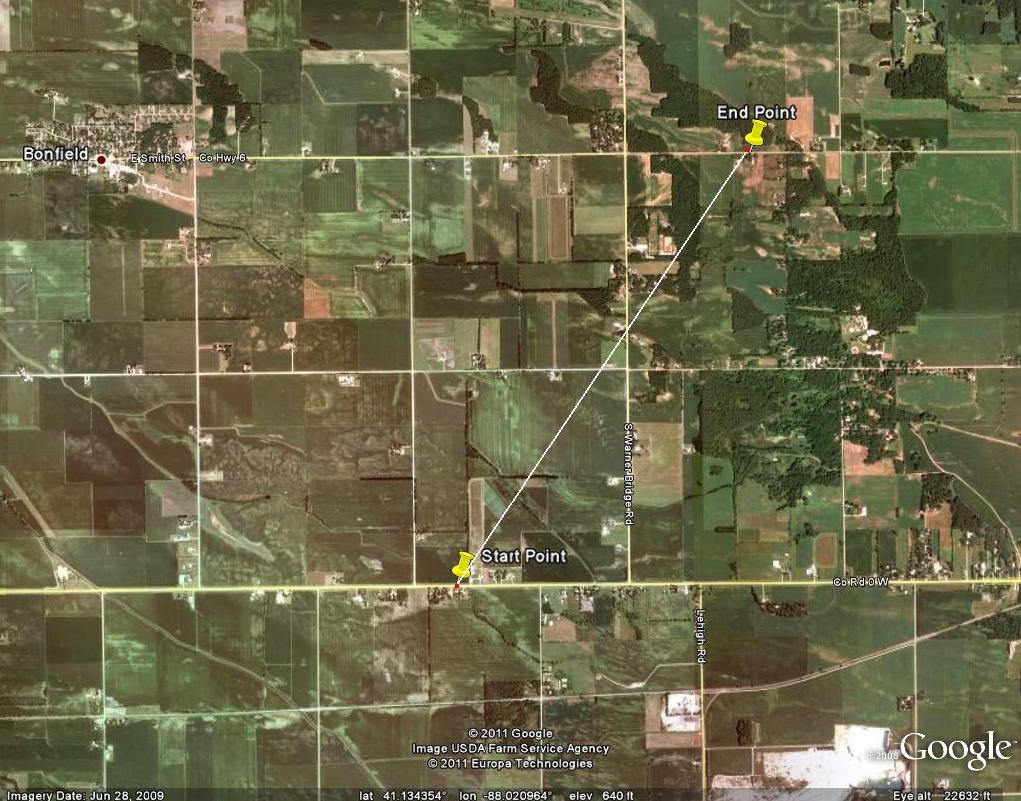
Strength: EF1
Path Length: About 2 and a half miles
Maximum path width: Approximately 100 yards
Start: South East of Bonfield along Route 17 just east of 8000W.
End: Northeast of Bonfield near the intersection of 6000W and 2000N.
Time: From 614 AM to 617 AM CDT based on radar estimates.
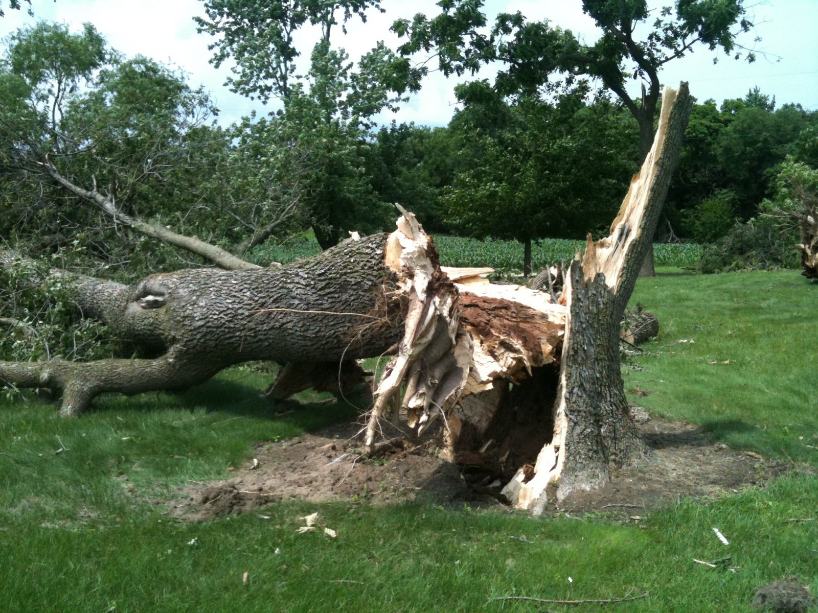
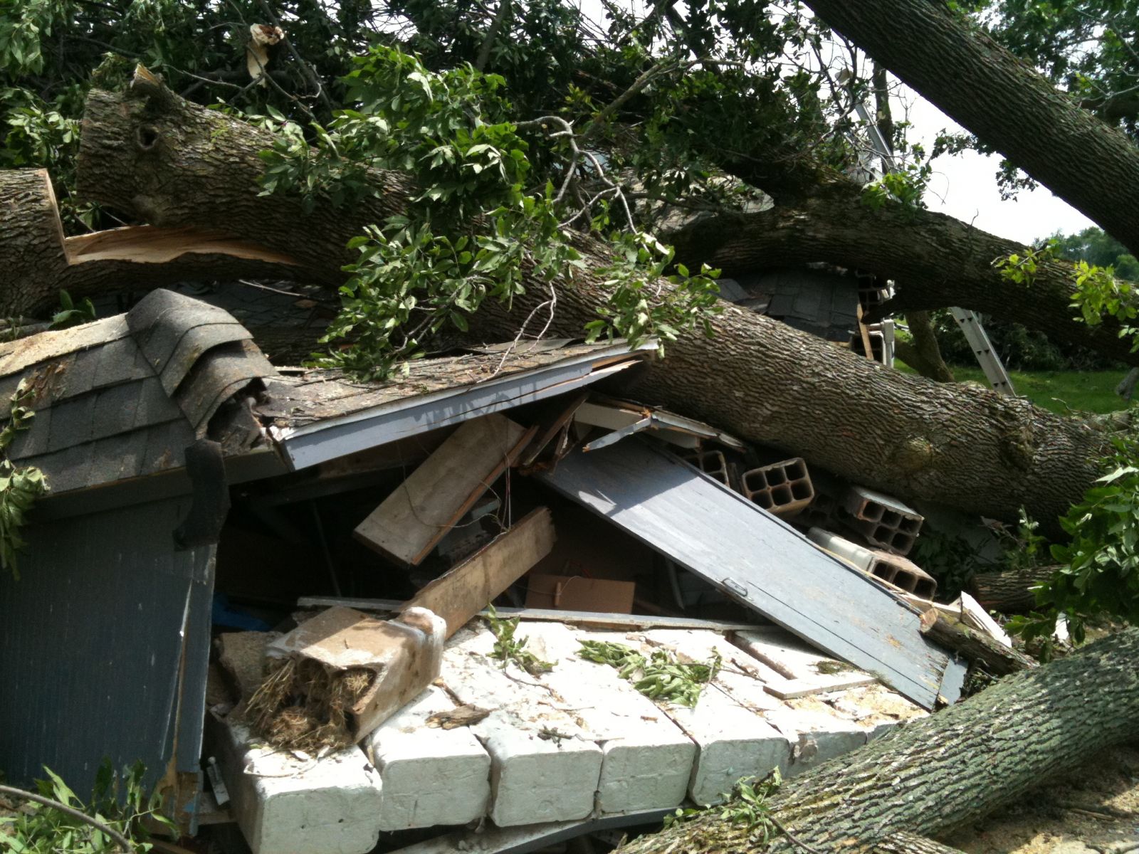
The survey team reported a housing residence along route 17 that had a shed completely destroyed, with the walls collapsed and the roof blown approximately 25 feet away. There was extensive hard wood tree damage for most of the damage path. Most of the trees damaged were either uprooted or snapped off at the base. These were large, mostly healthy (little to minor rot) trees. There were several trees where the break was a third to half of the way up the tree trunk. One of the housing structures along 7000W had a glass window blown out due to winds. An additional building had damage in the siding from a branch piercing the outer wall. Along 2000N, there were several occurrences of damage to manmade objects at several homesteads. The door on a large tin barn was blown into the structure and several panels of the siding collapsed. On the same property, a wooden corn shed was completely destroyed, and a house sustained shingle damage. A metal siding fence also blew down on the property line, as well as a chain link fence. Another property on 2000N incurred heavy structural damage due to fallen trees. Along the damage path, there were convergent wind patterns in several corn and wheat fields. In addition, the fallen trees laid in a convergent pattern. Many branches were speared into the ground in a convergent pattern, as well. The nature of this damage was consistent with an EF1 tornado...with winds of 100 to 110 mph.

|
|
 Split and twisted tree |
t Garage destroyed |
Extensive damage and branches speared in ground in convergent pattern (circled items in picture) |