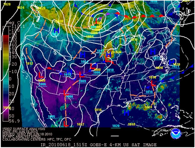
Widespread life-threatening flash and urban flooding continues in south-central Texas, with considerable flooding impacts possible across central Texas. Wildfire smoke is impacting air quality across much of the Great Lakes region into southern New England and the Mid-Atlantic. Monsoonal thunderstorms may produce isolated to scattered flash flooding across the Southwest into the Great Basin. Read More >
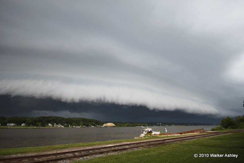
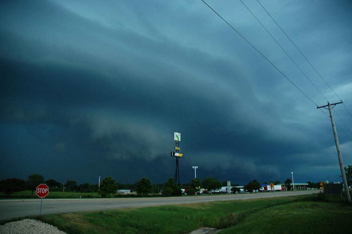
Panoramic shot of shelf cloud as it was crossing into northwest IL.
(Click on picture for amazing time lapse video of approaching shelf)
On June 18th, 2010 a double shot of severe weather affected much of Northern Illinois and Northwest Indiana area producing severe damaging winds. The first storm developed over Eastern Nebraska early in the morning, and worked its way east, entering Illinois by mid afternoon. The second line of thunderstorms developed over western Iowa around this time and strengthened as it made its way towards the Chicago Metro area by late Friday Evening.


The system evolved into what is known as a Bow Echo (Figure 5) as it headed east. The Bow Echo, aptly named for the shape it takes on, is known to be a producer of strong and damaging winds. The strongest winds are typically seen at the apex of the bow. Bow echoes form as cold dry air from a thunderstorm downdraft accelerates downward and surges ahead along the line of thunderstorms. The morning sounding from Davenport, IA (Figure 6) shows dry midlevels and steep lapse rates (temperatures cool quickly with height), two ingredients for the development of strong downdrafts. Wind reports in excess of 70 MPH had already been reported upstream over Iowa, and as the storm raced east over the Chicago forecast area, reports quickly came in of winds in excess of 60 and even 70 MPH with trees and power lines down. (Pictures of the damage can be seen below).
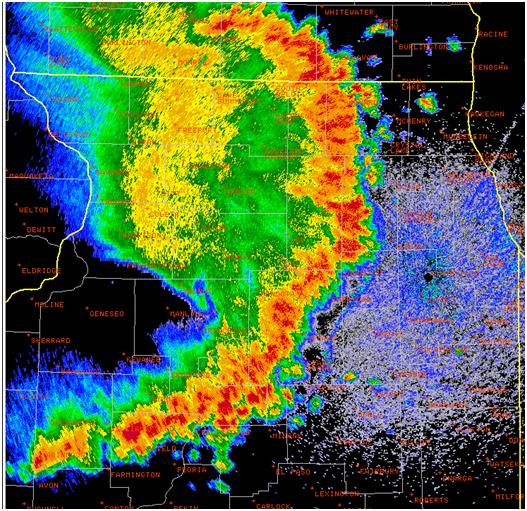
Figure 5: Radar Reflectivity of the first Bow Echo as it approached the Chicago Metro Area
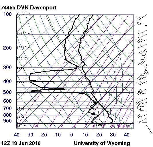
Figure 6: Davenport, IA sounding from the morning showing dry midlevels and steep lapse rates.
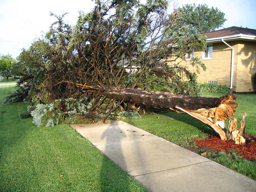
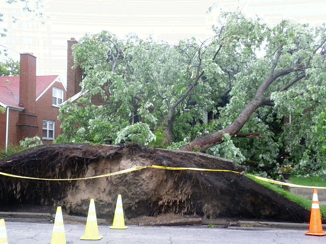
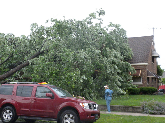
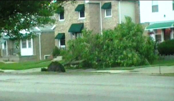
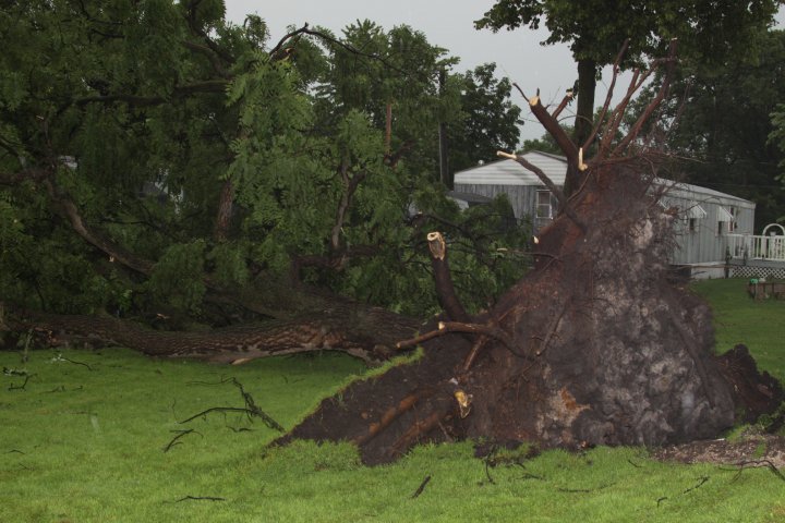
Damage from the storms was widespread. Trees were reported down across a large swath of Northern Illinois and Northwest Indiana. Half a million residents lost power during the storms. Windows were reported blown out in some of the high-rises of downtown Chicago. A summary of impacts from the storm can be seen plotted on Figure 7.
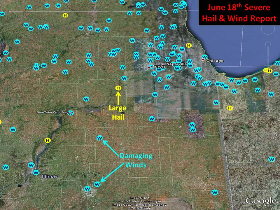
Figure 7: A map showing the location of the damaging wind and large hail reports from across the area June 18th.
Pictures of the Storm and Storm Damage
|
|
|
|
|
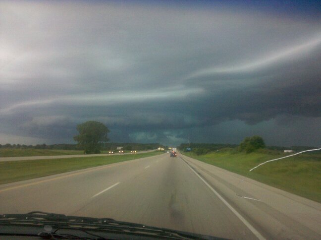
Shelf Cloud in Dixon |
Shelf Cloud near Rockford |
Shelf Cloud in Naperville |
|
|
|
|
|
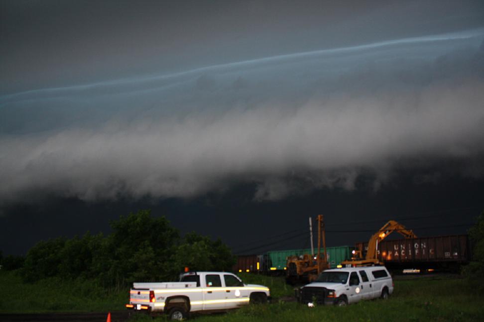
Shelf Cloud near Franklin Grove(courtesy of Lee Co. EM) |
Shelf Cloud north of Rockford |
Shelf Cloud near Franklin Grove(courtesy of Lee Co. EM) |
|
|
|
|
|
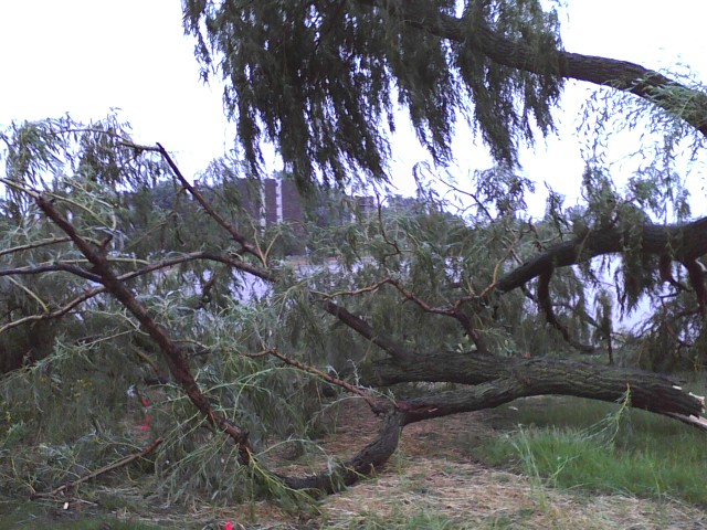
Damage in Westmont |
Damage in Oak Park |
Damage in Rochelle |
|
|
|
|
|
Damage in Whiting IN |
Damage in Whiting IN |
Damage near Franklin Grove(courtesy of Lee Co. EM) |
|
|
|
|
|
Damage in Willowbrook |
Damage in Whiting IN |
Damage on NW Side of Chicago |
|
|
|
|
|
Damage near Utica |
Damage near Utica |
Damage near Utica |