A prolonged atmospheric river will bring heavy rainfall which may lead to widespread urban and river flooding, heavy mountain snow, along with gusty winds to the Pacific Northwest into the northern Rockies through much of the week. A clipper will bring a period of snow across the upper Midwest and the Great Lakes into Tuesday, before a stronger system bring more wintry impacts. Read More >
Lower Mississippi RFC
River Forecast Center
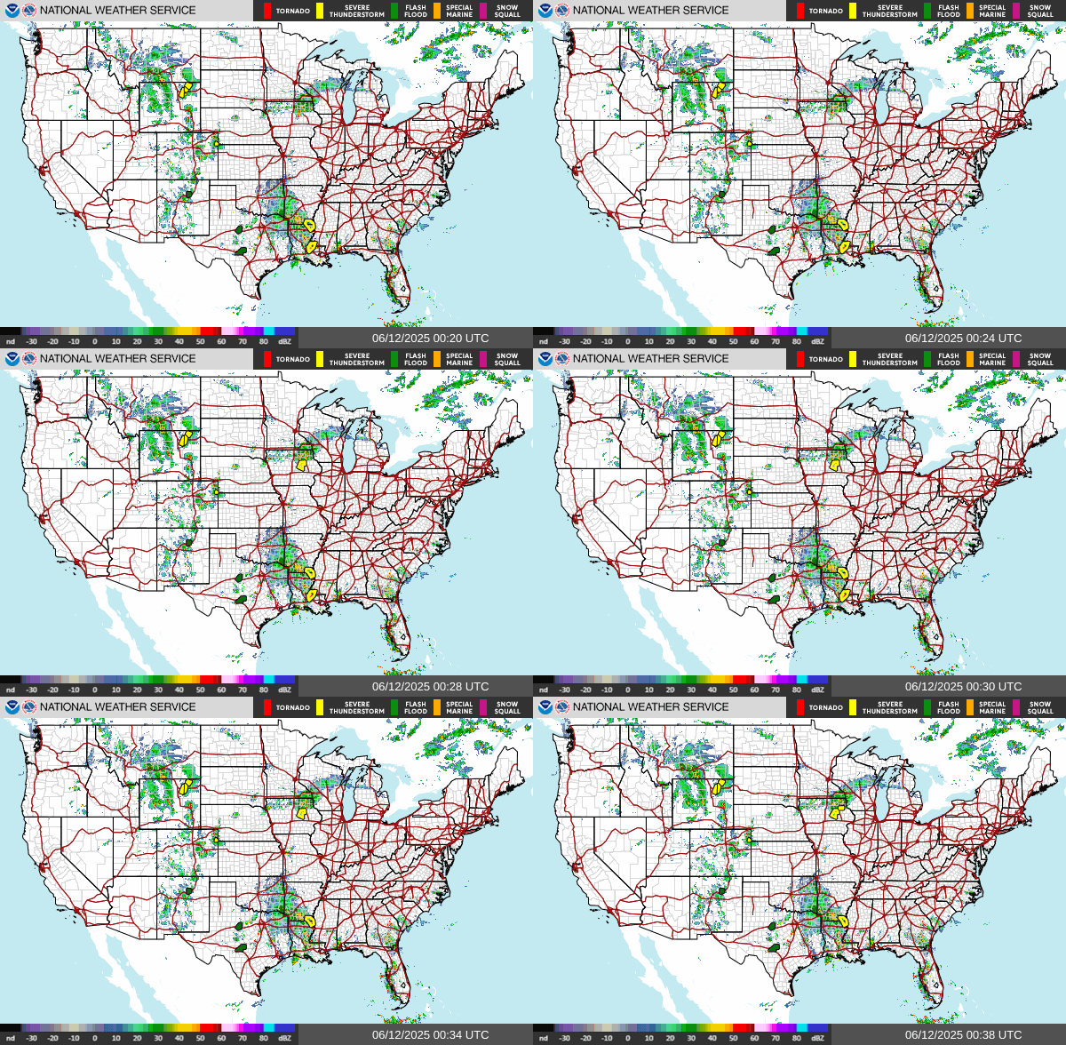
National Doppler Radar
National Radar Loop
Static, looping image. National mosaic of radar network.
Current precipitation/weather interactive maps
Interactive maps with reduced functionality indended for mobile devices and tablets.


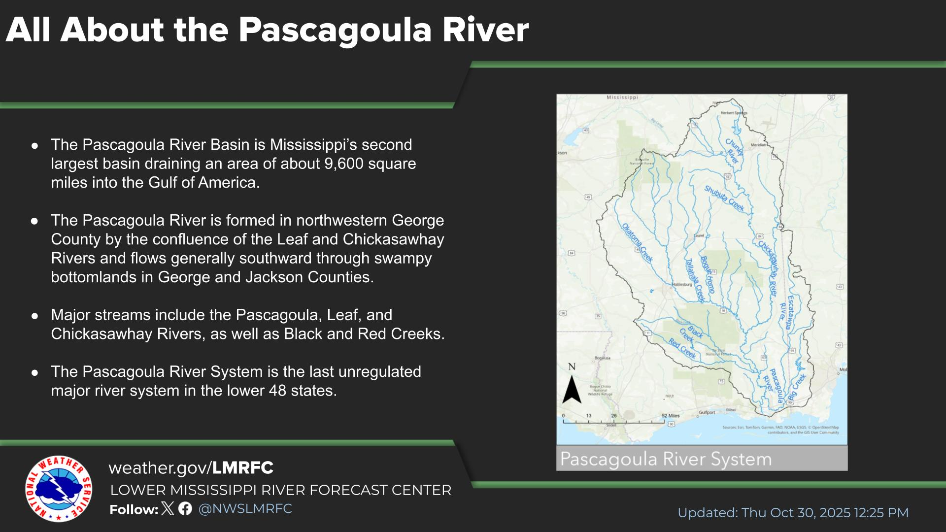
 Water Story