Louisville, KY
Weather Forecast Office
September was typically quiet in 2021, with no severe weather in southern Indiana or central Kentucky. The most significant weather-maker of the month took place on the 15th when a cold front coming in from the northwest interacted with moisture streaming north from tropical cyclone Nicholas to produce widespread rain and scattered flooding. Bardstown was by far the hardest hit, with a local CoCoRaHS volunteer reporting about half a foot of rain.
| Average Temperature | Departure from Normal | Precipitation | Departure from Normal | |
| Bowling Green | 70.4° | -1.0° | 5.99" | +2.35" |
| Frankfort | 70.1° | +0.9° | 4.37" | +1.02" |
| Lexington | 68.3° | -0.8° | 3.15" | -0.27" |
| Louisville Ali | 73.4° | +1.4° | 4.76" | +1.10" |
| Louisville Bowman | 71.9° | +1.5° | 4.75" | +1.14" |
Records
5th: Rainfall of 1.10" at Louisville
15th: Rainfall of 2.59" at Bowling Green, rainfall of 0.98" at Frankfort
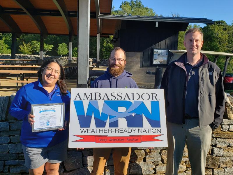
The Parklands of Floyds Fork is the 2021 Weather-Ready Nation Ambassador of Excellence in the middle Ohio Valley. Lead forecaster Brian Schoettmer, far right, presented the award.
Current Hazards
Hazardous Weather Outlook
Storm Prediction Center
Submit a Storm Report
Advisory/Warning Criteria
Radar
Fort Knox
Evansville
Fort Campbell
Nashville
Jackson
Wilmington
Latest Forecasts
El Nino and La Nina
Climate Prediction
Central U.S. Weather Stories
1-Stop Winter Forecast
Aviation
Spot Request
Air Quality
Fire Weather
Recreation Forecasts
1-Stop Drought
Event Ready
1-Stop Severe Forecast
Past Weather
Climate Graphs
1-Stop Climate
CoCoRaHS
Local Climate Pages
Tornado History
Past Derby/Oaks/Thunder Weather
Football Weather
Local Information
About the NWS
Forecast Discussion
Items of Interest
Spotter Training
Regional Weather Map
Decision Support Page
Text Products
Science and Technology
Outreach
LMK Warning Area
About Our Office
Station History
Hazardous Weather Outlook
Local Climate Page
Tornado Machine Plans
Weather Enterprise Resources
US Dept of Commerce
National Oceanic and Atmospheric Administration
National Weather Service
Louisville, KY
6201 Theiler Lane
Louisville, KY 40229-1476
502-969-8842
Comments? Questions? Please Contact Us.


 Weather Story
 Weather Map
 Local Radar