Louisville, KY
Weather Forecast Office
As opposed to the first week of January last year, 2019 started out quite warm. The warmth peaked on the 7th and 8th when average daily temperatures were 20-25 degrees above normal and afternoon highs were in the 60s. Then, the middle of the month was near normal and the last third of the month was cold.
The most significant cold outbreak waited until the last couple days of the month when the mercury dipped into the single digits. Unfortunately on the 30th those cold temperatures were accompanied by gusty winds that took wind chills down to as low as 24 degrees below zero.

There were no large snowfalls during the month, but light snows on the order of 1-4 inches took place on the 11th-12th, 19th-20th, and 29th-30th. The snow on the 19th-20th was accompanied by strong gusty winds.
| Average Temperature | Departure from Normal | Precipitation | Departure from Normal | Snowfall | Departure from Normal | |
| Bowling Green | 37.4° | +1.7° | 3.29" | -0.32" | 3.4" | +0.1" |
| Frankfort | 33.4° | +0.9° | 3.55" | +0.29" | ||
| Lexington | 33.8° | +0.9° | 4.35" | +1.15" | 5.4" | +1.5" |
| Louisville Bowman | 35.4° | +0.9° | 2.94" | -0.44" | ||
| Louisville International | 35.2° | +0.3° | 3.22" | -0.02" | 7.5" | +3.8" |
Records
8th: High of 69° at Bowling Green
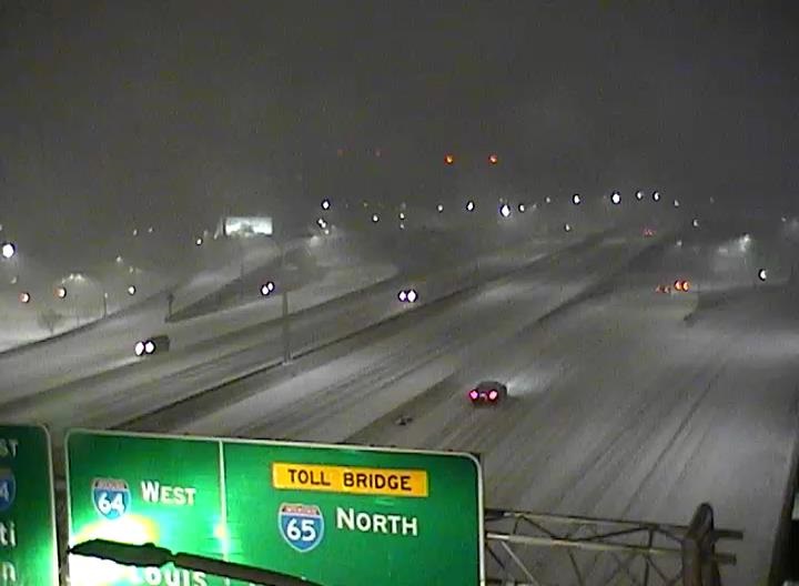
Snow-covered roads in Louisville on the 19th-20th. TRIMARC
Current Hazards
Hazardous Weather Outlook
Storm Prediction Center
Submit a Storm Report
Advisory/Warning Criteria
Radar
Fort Knox
Evansville
Fort Campbell
Nashville
Jackson
Wilmington
Latest Forecasts
El Nino and La Nina
Climate Prediction
Central U.S. Weather Stories
1-Stop Winter Forecast
Aviation
Spot Request
Air Quality
Fire Weather
Recreation Forecasts
1-Stop Drought
Event Ready
1-Stop Severe Forecast
Past Weather
Climate Graphs
1-Stop Climate
CoCoRaHS
Local Climate Pages
Tornado History
Past Derby/Oaks/Thunder Weather
Football Weather
Local Information
About the NWS
Forecast Discussion
Items of Interest
Spotter Training
Regional Weather Map
Decision Support Page
Text Products
Science and Technology
Outreach
LMK Warning Area
About Our Office
Station History
Hazardous Weather Outlook
Local Climate Page
Tornado Machine Plans
Weather Enterprise Resources
US Dept of Commerce
National Oceanic and Atmospheric Administration
National Weather Service
Louisville, KY
6201 Theiler Lane
Louisville, KY 40229-1476
502-969-8842
Comments? Questions? Please Contact Us.


 Weather Story
 Weather Map
 Local Radar