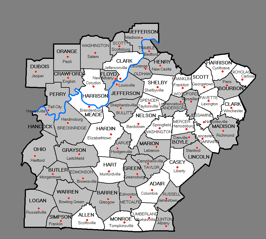
Click on a highlighted county in the map below to access damage photographs and storm information from that county.
Comments from our customers:
"I want to tell you that, as someone who listened to your alerts on the NOAA (weather) radio band throughout that terrible night, I feel that...the NWS did a heroic job of staying on top of the developments these storms wrought, and keeping your warnings fresh, updated and timely. It is a terrible tragedy that people died, but I will testify to my own dying day that your organization did all it could do to prevent that. In fact, I have spoken with several people whose relatives had left their mobile homes, or even built homes that were in the general path, because of your warnings. Those very homes were pulverized. The people are alive, in no small part, because of your warnings."
----- Matt P.
"I think your entire staff did an excellent job last night/this morning, so hats off! Thanks for your time and service."
----- Bob W.
"I really felt like the local NOAA did a great job forecasting the severe weather outbreak on Tuesday. We were warned at least two days in advance with a special weather statement, that makes a big difference when people can be prepared that far in advance. I think without the advanced warning, more people would have died, I think that's a foregone conclusion. That being said, there are heroes in a lot of different fields and certainly you guys and gals earned that title with your work in helping to keep our families safe. That Tuesday night was a prime example. I use NOAA and only NOAA for my weather information and will continue to support your site. In short, your efforts were flawless and information extremely accurate. The special weather statements, short term forecasts and pinpoint forecasts are great tools, along with the forecast discussions."
-----Zach
"I work at the (Scottsville) Citizen-Times. At the newspaper we pull up the radar and your hazardous reports several times a day to keep abreast. Because of your information I was able to keep my daughter and granddaughter in a safe place. Once again I thank you for a wonderful job."
----- Bonnie M.
"I just wanted to say you guys at the National Weather Service in Louisville did a great job with the warnings and the fact that you gave advanced warnings. I appreciate the job you do at the National Weather Service."
----- Jonathan W.
"This is the best online visual depiction of a tornado outbreak I've ever seen. First time I haven't had to toggle back and forth between multiple websites/Rand McNally Atlas pages/Google Maps to get a sense of where events specifically took place. Congratulations; It's refreshing to see this kind of competence. Hopefully other NWS offices will see this and be inspired to do similar reports. Thanks!"
----- Sam P.
"The potential for severe storms with the system was well-advertized at least 4-5 days in advance, both on a national (SPC) basis and local (LMK) basis. As the event grew closer, the forecasts/products grew more refined, both with regard to timing as well as what to expect. On Monday and, especially, Tuesday, as SPC grew much more aggressive with the situation, the local statements laid the groundwork for a potentially major event (as it turned out to be). The Tuesday afternoon briefing for local governments/media brought everyone up to speed – at that point it was just a matter of waiting for things to start popping, as they certainly did. I doubt if anyone imagined before the fact how many tornadoes would hit KY/IN, but the supercells kept forming/moving and the warnings kept ahead of them until the storms faded/moved away."
----- Tom W.
"Thank you for doing your job and for providing critical weather information on the web during the tornado outbreak on 5 & 6 February 2008. You enabled my family and me to observe storm progression online. No one was killed or seriously injured in Harrodsburg and Mercer County. Sadly some anchor points have been destroyed namely huge trees which were felled in seconds and took a century to grow to their height and stature.
In my opinion the taxpayers of the nation and commonwealth reaped an enormous dividend during this storm from the equipment of NWS...to say nothing of the personnel who make a number of weather related products work and keep them faithfully available."
----- Andrew A.


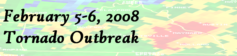
 Weather Story
 Weather Map
 Local Radar