February 2021 brought an abrupt end to the mostly tranquil weather the region had experienced for much of 2020.
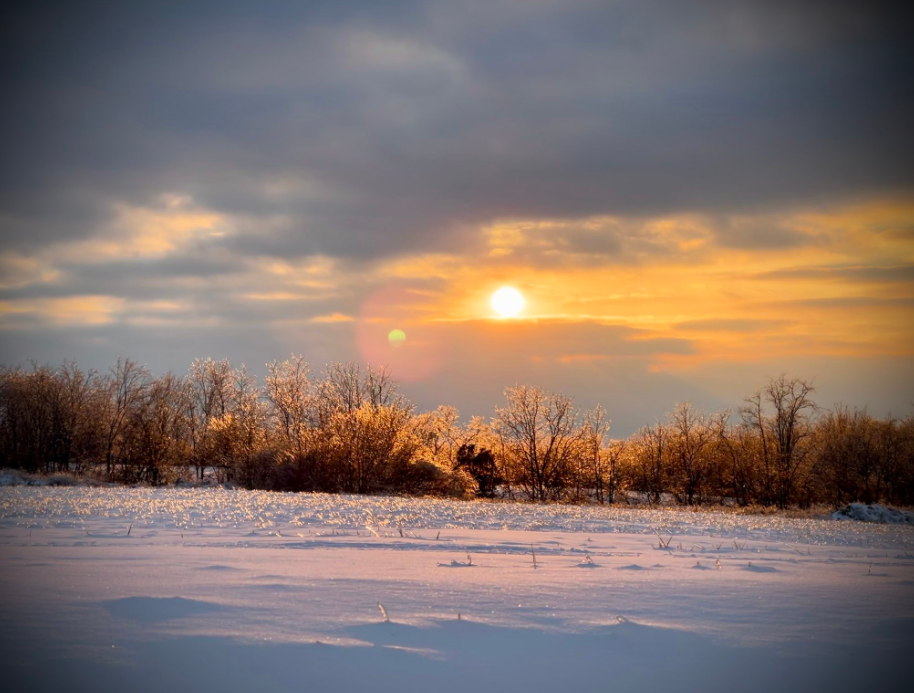
On the 9th-10th low pressure over the Tennessee Valley brought moisture to the region while high pressure over the Great Lakes supplied cold air. Snow and a thick glaze of ice from freezing rain was the result in the Ohio Valley, causing NWS Louisville to issue its first Winter Storm Warning in almost 2 years and its first Ice Storm Warning in possibly 12 years. The Blue Grass received over an inch of rain, and about an inch of snow fell from southern Indiana into northern Kentucky with the exception of areas near Scottsburg and Madison, Indiana, where 4-5 inches fell. Some very light glazing continued into the 11th and 12th with temperatures mostly in the 20s.
Another significant winter storm rolled in late on Valentine's Day, dealt its worst blow on the 15th, and then moved out of the area on the 16th. Up to half a foot of snow fell on southern Indiana with 3 to 5 inches across much of north central Kentucky. Sleet, freezing rain, and rain mixed in as well. Cold air behind the system brought single digit temperatures, with Lexington plummeting to 2 on the morning of the 17th.
Then another winter storm attacked the region from the night of the 16th through the 17th. This time a band of heavy snow set up over southern Kentucky and produced half a foot of accumulation in the southern Blue Grass. Two to four inches of snow was common elsewhere. Another shot of cold air took the mercury below zero on the 20th.
That was the end of the wintry weather for the month, but meteorologists were still busy. On the 27th-28th deep moisture invaded the region and combined with several waves moving along a slow moving front to produce copious amounts of rainfall. Instead of half a foot of snow, half a foot of rain fell on southern and eastern sections of central Kentucky. Although the previous snow had all melted, the ground was still wet, and flooding resulted. Several spots on the Kentucky, Ohio, Green, and Rolling Fork had moderate to major flood levels in early March. A marina broke loose and floated down the Kentucky River, crashing into bridges in Frankfort.
The first tornado since April 2020 occurred on the evening of the 28th when a narrow EF1 twister was on the ground for a few minutes in northeast Clinton County. Outbuildings and a few homes were damaged.
| Average Temperature | Departure from Normal | Precipitation | Departure from Normal | Snow | Departure from Normal | |
| Bowling Green | 34.9° | -4.9° | 8.01" | +4.05" | 7.7" | +4.7" |
| Frankfort | 31.7° | -4.7° | 4.42" | +1.13" | ||
| Lexington | 30.7° | -6.2° | 4.61" | +1.41" | 8.6" | +4.0" |
| Louisville Ali | 33.3° | -5.5° | 5.85" | +2.67" | 11.3" | +6.8" |
| Louisville Bowman | 32.9° | -5.2° | 5.31" | +2.13" |
Records
17th: Snowfall of 2.9" at Bowling Green
28th: Rainfall of 5.11" at Bowling Green (new February daily rainfall record), rainfall of 2.50" at Frankfort, rainfall of 1.89" at Lexington, rainfall of 3.54" at Louisville
9th wettest February on record at Bowling Green

Wilmore, Kentucky on the 19th. Photo courtesy @ntnoah