This summer, NWS Louisville was blessed to have not one but two Hollings Scholar students! Dylan Girone came to us from the University of Arizona and Hanna McDaniel from Florida State University.
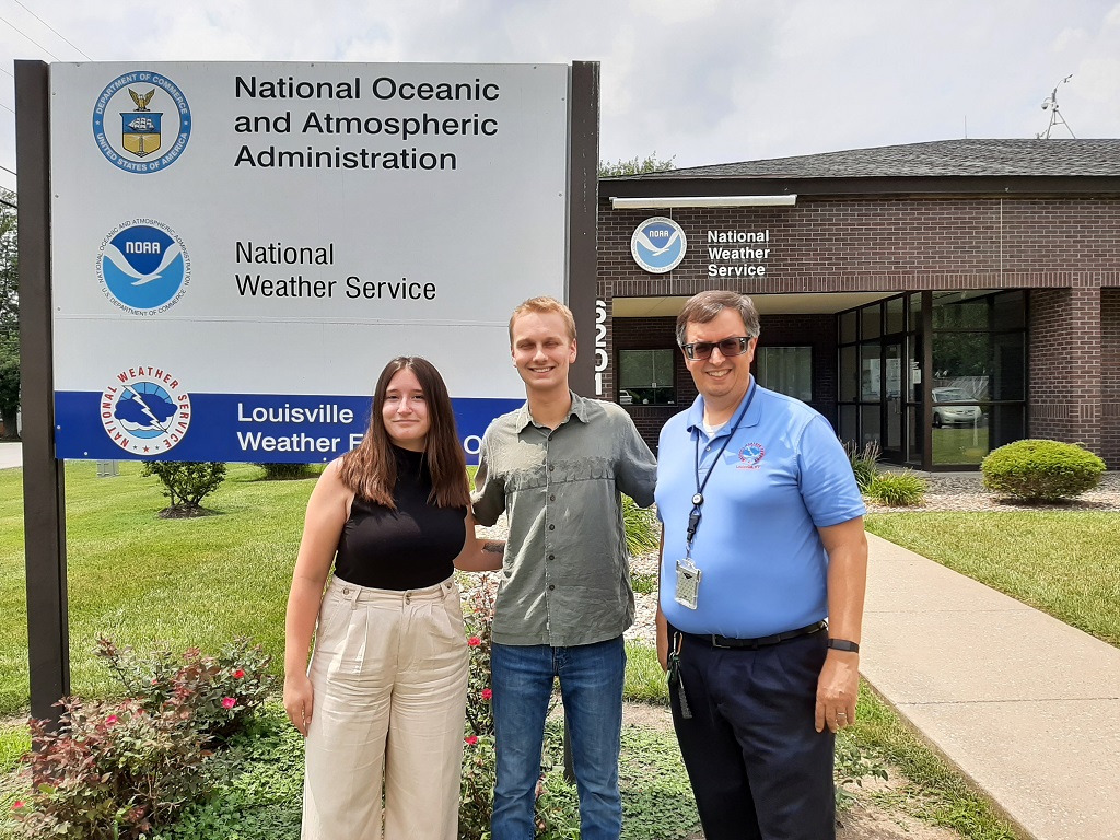
Hanna, Dylan, and Science and Operations Officer Ryan Sharp.
Hanna's work focused on squall line tornadoes. These tornadoes are particularly difficult to forecast, because they can form and dissipate very quickly and they typically are embedded within a line of already severe storms. Hanna poured through all of the tornadoes that formed over Kentucky, Indiana, and Tenness over the last 7 years, specifically looking at these types of tornadoes and then narrowing further for the way they appear on radar. Two common squall line tornado radar signatures for our area are those that form behind the line as the solid line breaks up into two parts and then another is when a nub feature forms on the front side of the line. Hanna was looking for common environmental parameters that exist for both types of tornadoes, so that forecast staff can be on the lookout for when these features develop along future squall lines.
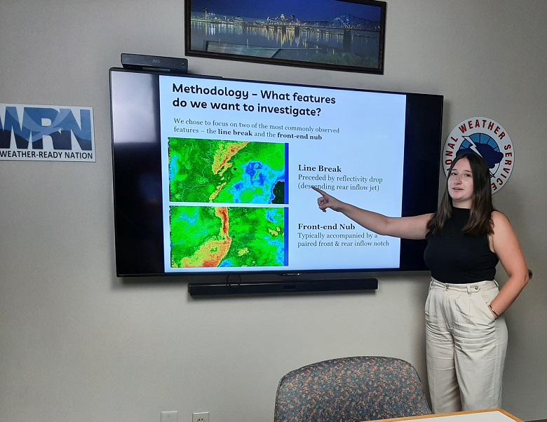
Hanna presenting her work to the forecast staff at Louisville, showing the two types of squall-line tornado features she studied.
Dylan's work focused on summertime pulse thunderstorms. In particular, he was interested in when storms first popped up each day and if there were any connections with land cover, as far as initiation points. Dylan found that there are some areas with a better chance for convective initiation along boundaries of deciduous forests and cultivated croplands.
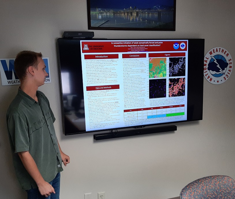
Dylan presenting the poster he made on his summer work.
Dylan and Hanna spent 9 weeks at the office working on their project and shadowing forecasters, to get the ins and outs of operational meteorology. They will be presenting their findings in Washington D.C. this week with other NOAA Hollings students from across the country.
NWS Louisville also hosted 2 student volunteers this summer: Owen Rahman from Purdue University and Joseph Hildebranksi from Indiana University. Owen has helped the office update their webcam monitoring program software for our situation awareness display. He also has worked with our Hydro program, digitizing flood impact statements along our River Flood gauge points. These data will go into future ArcGIS StoryMaps. Last, Owen has worked on updating some long-standing Forecasting Rules of Thumb for our region. Joseph has been working on a new forecasting tool for looking at forecast extremes across our area, called the Extreme Forecast Index (EFI). It's an ensemble tool from the European Center for Medium-Range Weather Forecasting (ECMWF). It compares model forecasts with climatology and gives a quick assessment score to forecasters for when an unusual event is forecast. This tool did very well for the December 10-11, 2021 tornado outbreak as well as our high-wind event on March 2-3, 2023. Joseph is looking to see how often the EFI gives false alarms, so forecasters can have additional confidence when they see a persistent signal in these data.
Lastly, NWS Louisville has a new Pathways student working this summer. Nicolas Porcelli is a Florida State University senior. The Pathways program allows him to get introduced to the forecast office and how operations runs. Then when he graduates, he can transition over to a meteorologist position in the NWS more quickly. Welcome Nico to the Louisville family!
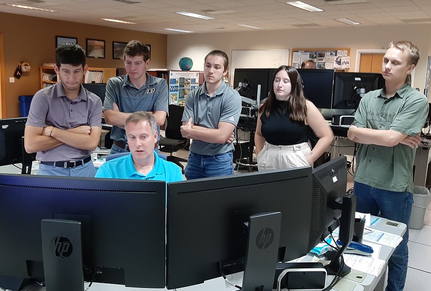
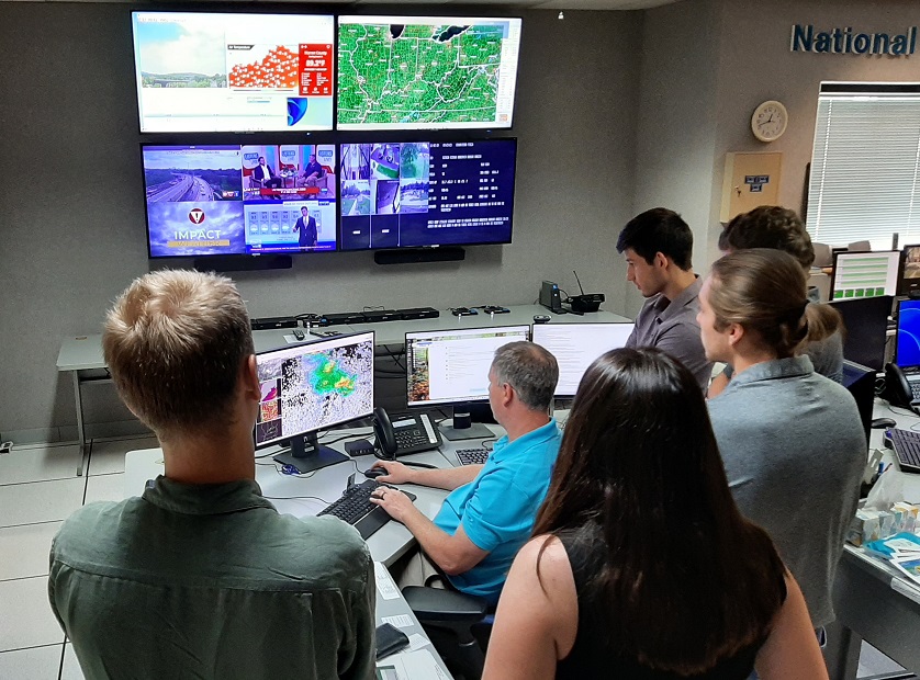
All 5 of our students watching Lead Meteorologist Brian Schoettmer make a decision on whether to issue a Severe Thunderstorm Warning for a cell over our area. In the upper picture, from left to right are Nicolas Porcelli, Owen Rahman, Joseph Hildebranski, Hanna McDaniel, and Dylan Girone.


 Weather Story
 Weather Map
 Local Radar