Louisville, KY
Weather Forecast Office
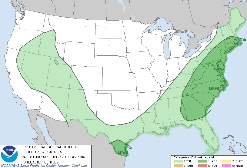
A couple different chances for strong to severe storms are in store for the Ohio Valley this week as we remain in an active weather pattern. The first chance will arrive today as a cold front moves through the area (see the graphic below for details). Storms today will be capable of producing damaging winds and hail. In addition to the severe weather threat, hot and humid conditions could result in afternoon heat index values dangerous to sensitive groups.

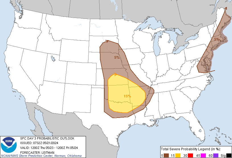
Another chance for strong to severe storms will arrive late Thurs night and continue into Friday and Friday evening as another cold front pushes through the Ohio Valley. The Storm Prediction Center has already placed southern Indiana and northern Kentucky in a Slight Risk for severe storms late Thurs night into Friday morning. The main threats with these storms will likely be strong winds and heavy rainfall.
Current Hazards
Hazardous Weather Outlook
Storm Prediction Center
Submit a Storm Report
Advisory/Warning Criteria
Radar
Fort Knox
Evansville
Fort Campbell
Nashville
Jackson
Wilmington
Latest Forecasts
El Nino and La Nina
Climate Prediction
Central U.S. Weather Stories
1-Stop Winter Forecast
Aviation
Spot Request
Air Quality
Fire Weather
Recreation Forecasts
1-Stop Drought
Event Ready
1-Stop Severe Forecast
Past Weather
Climate Graphs
1-Stop Climate
CoCoRaHS
Local Climate Pages
Tornado History
Past Derby/Oaks/Thunder Weather
Football Weather
Local Information
About the NWS
Forecast Discussion
Items of Interest
Spotter Training
Regional Weather Map
Decision Support Page
Text Products
Science and Technology
Outreach
LMK Warning Area
About Our Office
Station History
Hazardous Weather Outlook
Local Climate Page
Tornado Machine Plans
Weather Enterprise Resources
US Dept of Commerce
National Oceanic and Atmospheric Administration
National Weather Service
Louisville, KY
6201 Theiler Lane
Louisville, KY 40229-1476
502-969-8842
Comments? Questions? Please Contact Us.


 Weather Story
 Weather Map
 Local Radar