Louisville, KY
Weather Forecast Office
Sunday Evening UPDATE: Early evening showers have dissipated, leaving mostly clear skies over a lot of the area. A few mid-level clouds will continue to drift south over central Kentucky through 10 pm, with a lot of these clouds dissipating. Mostly clear skies are forecast across the area between 10 pm - 2 am tonight. The peak of the Perseid Meteor Shower will ramp up after 10 pm local time and especially after midnight.
The graphic shows the forecast sky cover for Midnight tonight, with gray and white depicting more clouds and blue showing fewer clouds, and the numbers indicating the percentage of the sky covered by clouds.

For more information on the Perseid Meteor Shower, check out this NASA Astronomy Photo of the Day page and some of the links it references. This year's shower is accompanied by a new moon, making for dark skies and ideal meteor viewing. Some estimates are for 60-70 meteors per hour.
==============================================================================
Most times a good meteor shower is forecast, the National Weather Service in Louisville takes calls about the cloud cover forecast during the peak of the event. Sky forecasting can be very tricky, as even a thin layer of moisture can cause a blanket of cloud cover that would ruin a good meteor shower in a given area. One tool meteorologists use is called a Time-Height section. The image below is one such time section, and is based on a model, the GFS, for the city of Louisville for this weekend. From left to right you start off with Friday going through Sunday night. The background image is of relative humidity, with blues and purples representing moist conditions and the reds dry. The contoured lines showed rising air, whereas dashed lines show sinking air. Rising air combined with moisture usually produces cloud cover, whereas sinking air is clear.
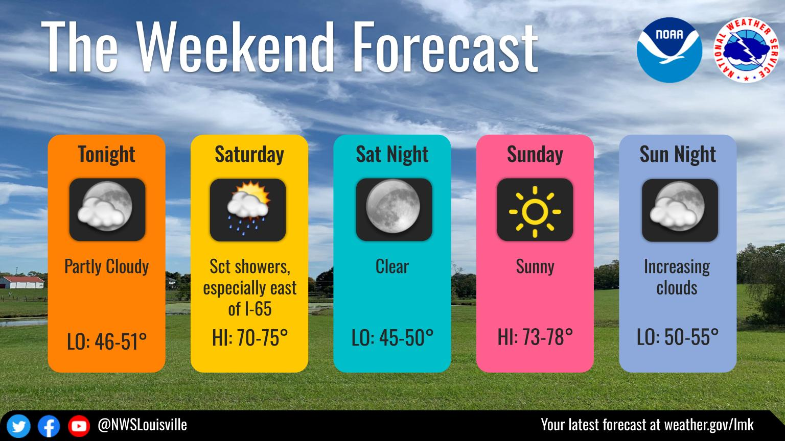
A GOES-East Natural color image from Friday morning, showing the cloud cover on the left of the Time-Height section above. Below is another model's forecast, the NAM, for the weekend moisture in the atmosphere. Both model forecasts indicate dry mid and upper level air (above ~5,000 feet) for the peak nights of the Perseid shower, Saturday night and Sunday night. However both also show a thin layer of moisture with potential for some weak lift in the 2,000-4000 feet range. For now our public forecast calls for partly cloudy skies Saturday night and mostly clear skies Sunday night based on these model data and other tools we use.
Current Hazards
Hazardous Weather Outlook
Storm Prediction Center
Submit a Storm Report
Advisory/Warning Criteria
Radar
Fort Knox
Evansville
Fort Campbell
Nashville
Jackson
Wilmington
Latest Forecasts
El Nino and La Nina
Climate Prediction
Central U.S. Weather Stories
1-Stop Winter Forecast
Aviation
Spot Request
Air Quality
Fire Weather
Recreation Forecasts
1-Stop Drought
Event Ready
1-Stop Severe Forecast
Past Weather
Climate Graphs
1-Stop Climate
CoCoRaHS
Local Climate Pages
Tornado History
Past Derby/Oaks/Thunder Weather
Football Weather
Local Information
About the NWS
Forecast Discussion
Items of Interest
Spotter Training
Regional Weather Map
Decision Support Page
Text Products
Science and Technology
Outreach
LMK Warning Area
About Our Office
Station History
Hazardous Weather Outlook
Local Climate Page
Tornado Machine Plans
Weather Enterprise Resources
US Dept of Commerce
National Oceanic and Atmospheric Administration
National Weather Service
Louisville, KY
6201 Theiler Lane
Louisville, KY 40229-1476
502-969-8842
Comments? Questions? Please Contact Us.


 Weather Story
 Weather Map
 Local Radar