Louisville, KY
Weather Forecast Office
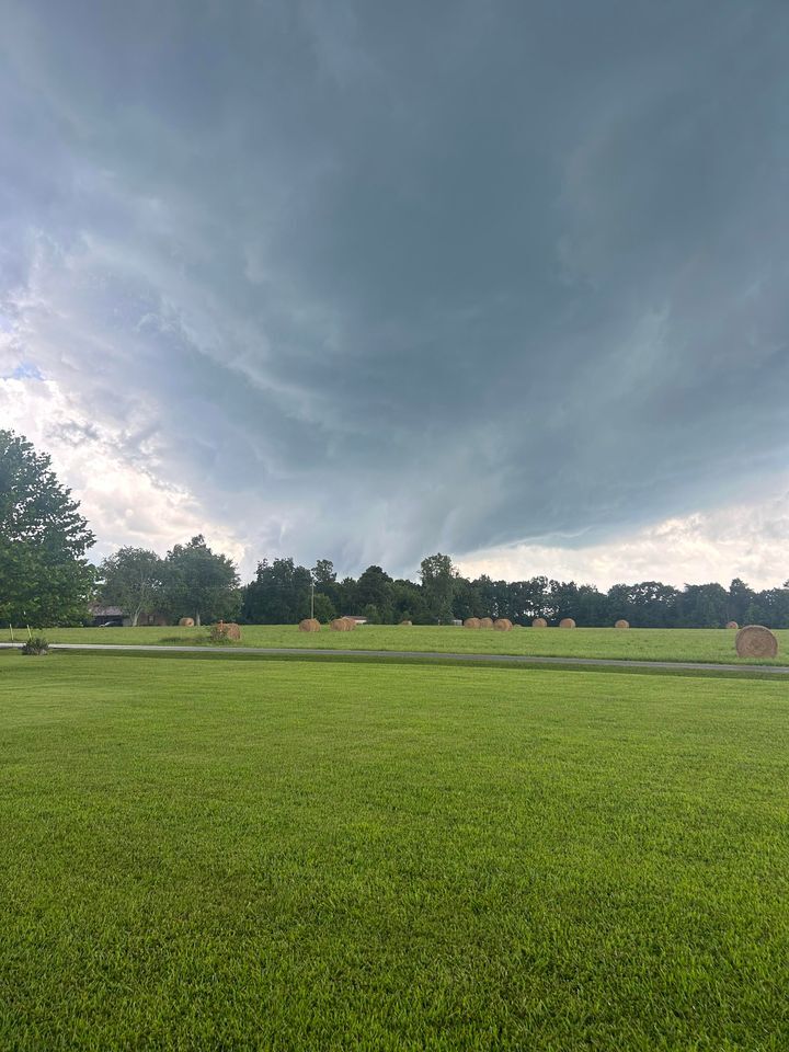
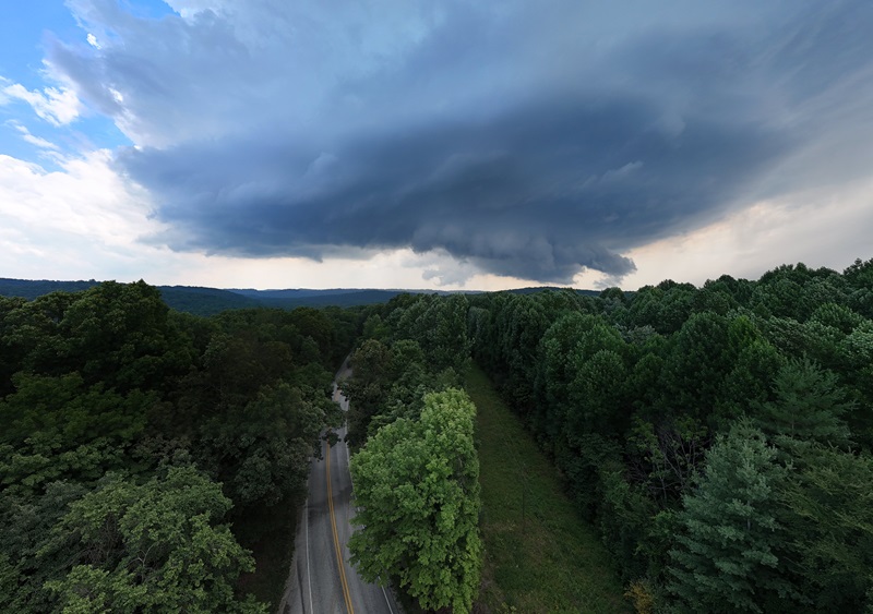
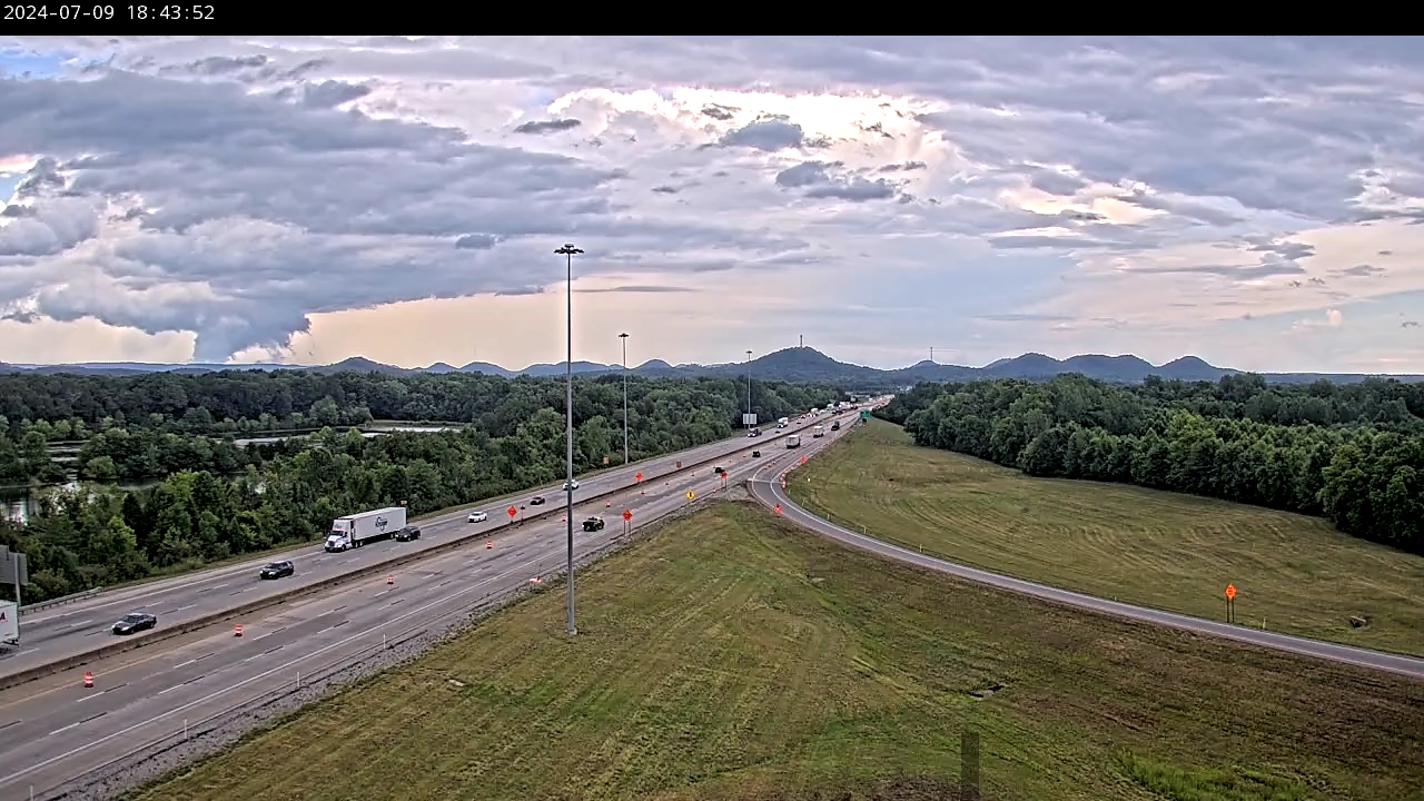
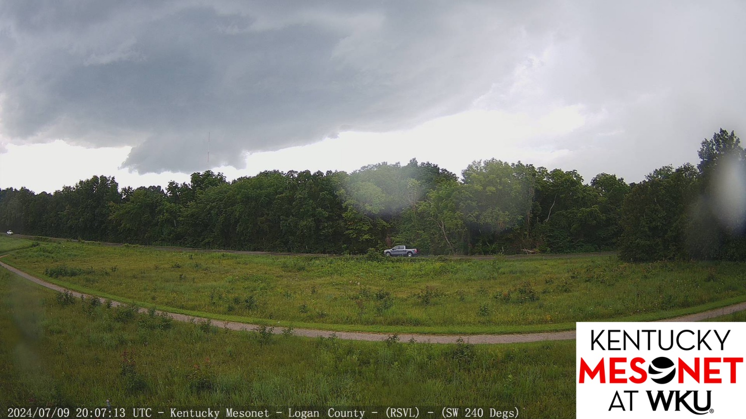
As bands of showers and storms developed Tuesday afternoon and evening, several people submitted photos of wall clouds and potential funnel clouds. There were multiple rotating showers and storms, and fortunately little in the way of tornado touchdowns across central Kentucky and our part of southern IN.
Based on the lack of damage reports received into the office so far, and looking at the various images below, one can see why tornado chasing in Kentucky and southern IN can be a difficult endeavor. Lots of trees and ridge lines as well as winding roads make it hard to follow one storm easily. Those trees and ridges on the horizon also can make it seem like a rotating wall cloud actually is a big tornado, when in fact it hasn't connected with the ground!
Here's a good sampling of the imagery either submitted into NWS Louisville or via local traffic cams and various TV media online webcams.
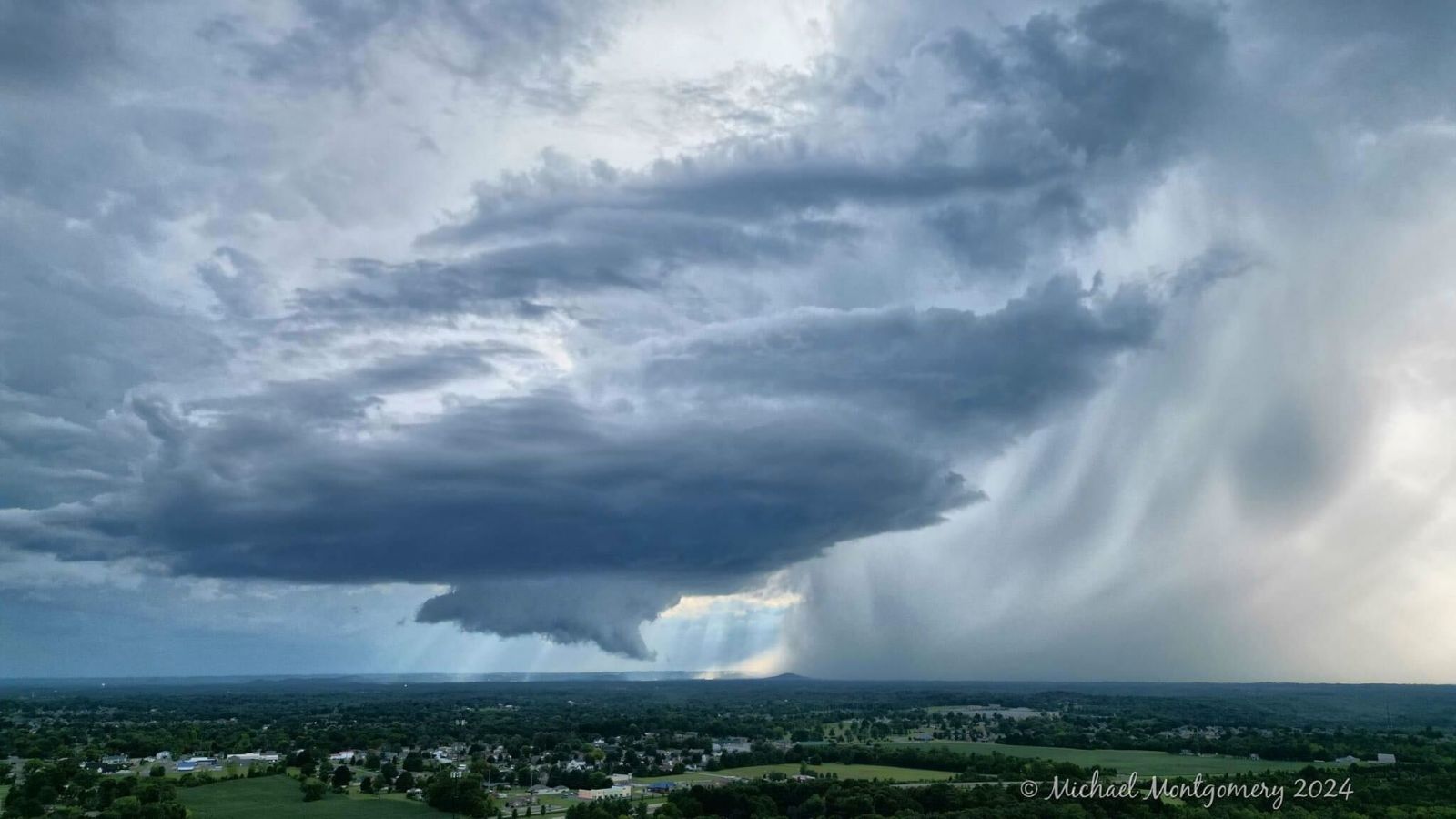 |
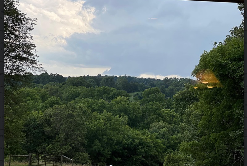 |
| Photo by Michael Montgomery near Mount Washington, KY | Photo by Mark Jarvis near Vine Grove, KY |
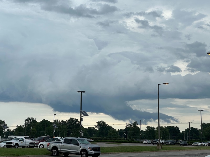 |
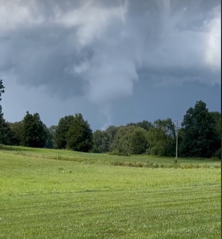 |
| Photo by Justin Hilliard northeast of Louisville Muhammad Ali Airport | Photo relayed by WBKO from a viewer...of a funnel cloud near Rochester, KY |
 |
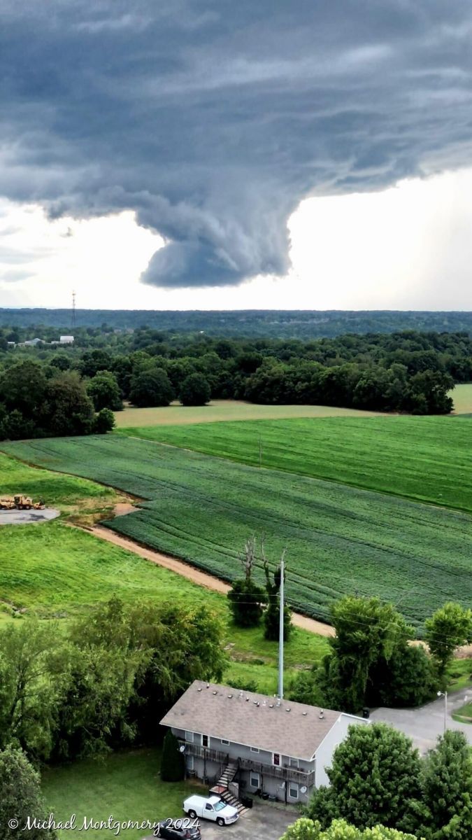 |
| Photo by Joshua Marks (submitted by WKRN Daniel Breezy) in northern Logan County, KY | Photo by Michael Montgomery near Mount Washington, KY |
 |
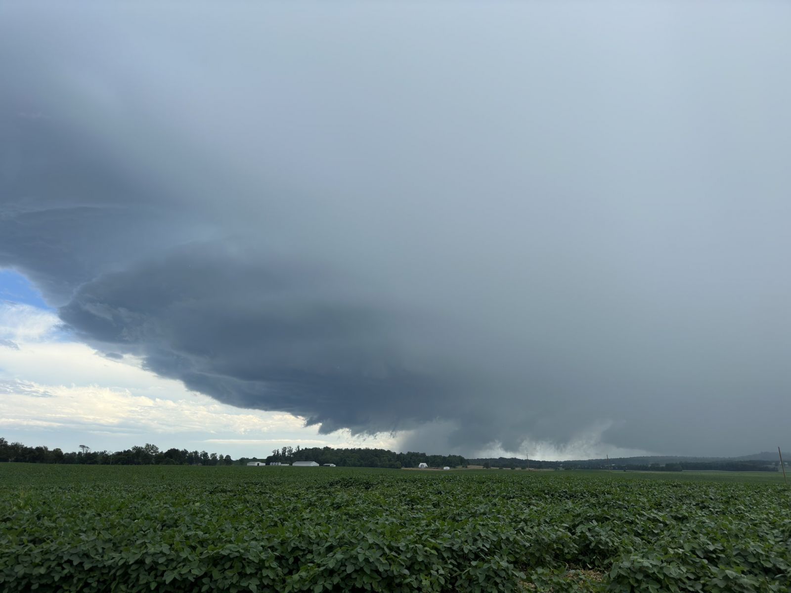 |
| Photo by Billy Bowling in Leavenworth, IN | Photo by D. Avery in Vine Grove, KY |
 |
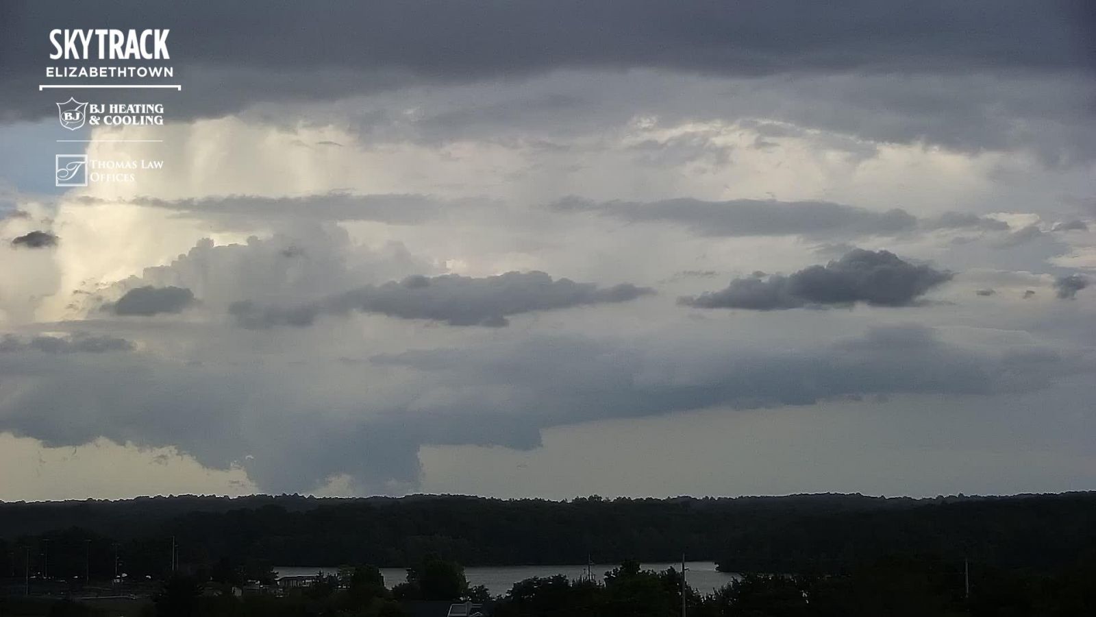 |
| I-65 traffic camera in Hardin County | WAVE3 SkyTrack Camera in Elizabethtown |
 |
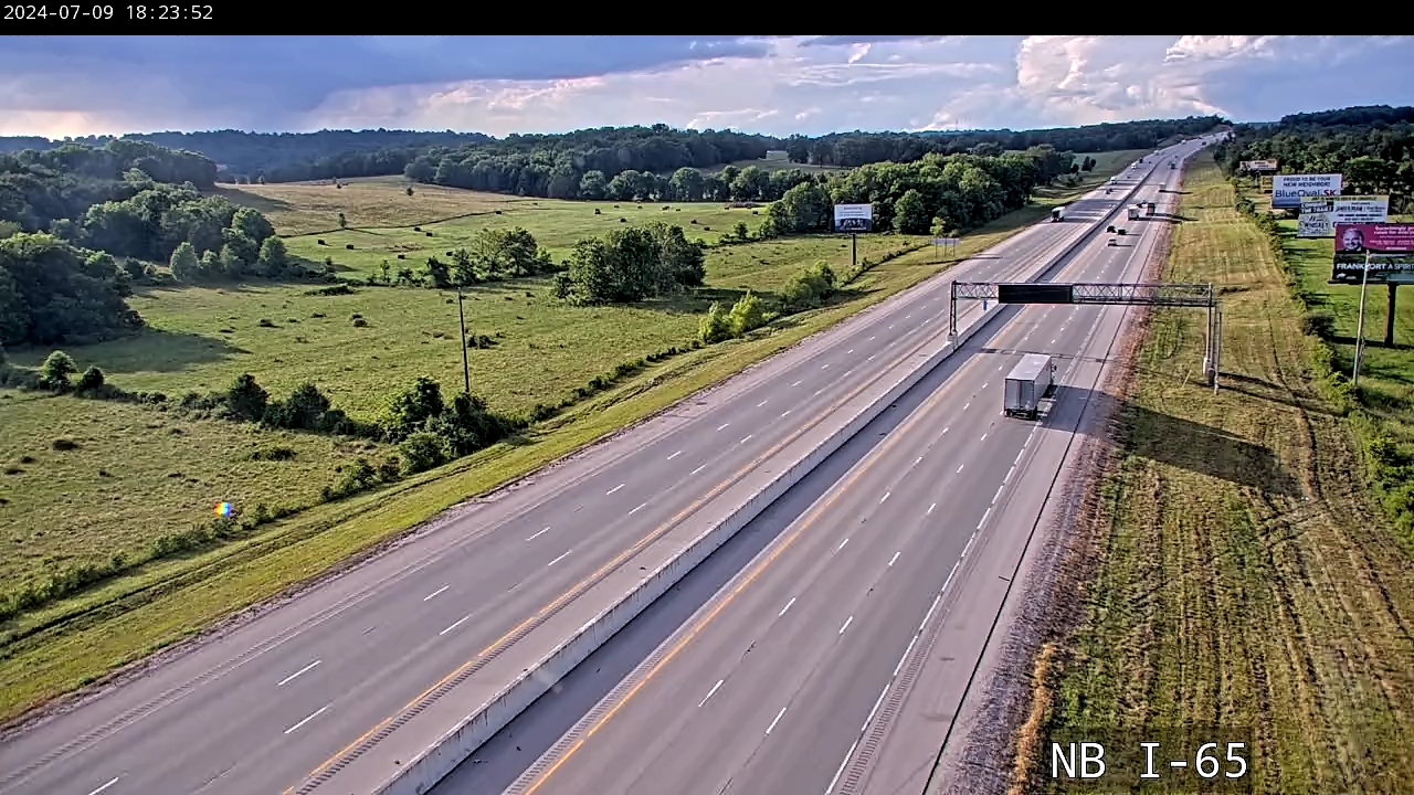 |
| Logan County Kentucky Mesonet Webcam | I-65 traffic camera in Northern Hart County |
Current Hazards
Hazardous Weather Outlook
Storm Prediction Center
Submit a Storm Report
Advisory/Warning Criteria
Radar
Fort Knox
Evansville
Fort Campbell
Nashville
Jackson
Wilmington
Latest Forecasts
El Nino and La Nina
Climate Prediction
Central U.S. Weather Stories
1-Stop Winter Forecast
Aviation
Spot Request
Air Quality
Fire Weather
Recreation Forecasts
1-Stop Drought
Event Ready
1-Stop Severe Forecast
Past Weather
Climate Graphs
1-Stop Climate
CoCoRaHS
Local Climate Pages
Tornado History
Past Derby/Oaks/Thunder Weather
Football Weather
Local Information
About the NWS
Forecast Discussion
Items of Interest
Spotter Training
Regional Weather Map
Decision Support Page
Text Products
Science and Technology
Outreach
LMK Warning Area
About Our Office
Station History
Hazardous Weather Outlook
Local Climate Page
Tornado Machine Plans
Weather Enterprise Resources
US Dept of Commerce
National Oceanic and Atmospheric Administration
National Weather Service
Louisville, KY
6201 Theiler Lane
Louisville, KY 40229-1476
502-969-8842
Comments? Questions? Please Contact Us.


 Weather Story
 Weather Map
 Local Radar