Louisville, KY
Weather Forecast Office
Each year, National Weather Service (NWS) Louisville holds a couple of roundtable discussion meetings, to prepare for an upcoming season of weather. Typically some time in March we hold the Severe Weather Roundtable discussion, where all of the staff members get together to talk about the Spring severe season. Monday, March 8th, we held this meeting, which started with WAVE3 Louisville's chief meteorologist, Kevin Harned, speaking virtually about how his team handles severe weather. The discussion also included what NWS products they use most frequently as well as some areas that we can work on to improve our partnership. One successful interaction is through a program called NWSChat, a platform where we can talk directly with our partners in the media, emergency management, and other communities. In this platform, we give our thoughts for how storms are evolving as well as a heads up when we plan to issue warnings/watches for a given area.
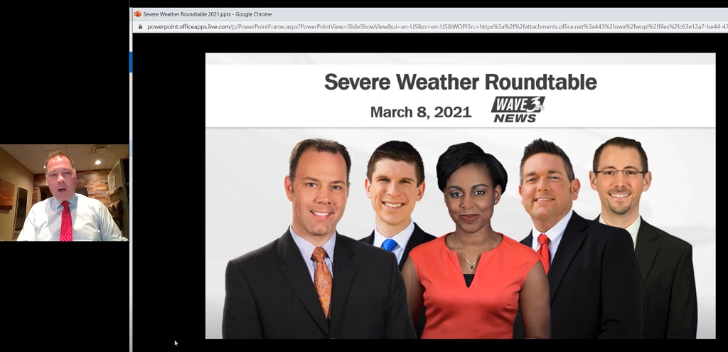
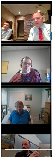
Meteorologist Kevin Harned from WAVE3 news in Louisville gave a brief presentation and then had a Q&A session with the Louisville NWS team, with Ryan Sharp, John Gordon, and Brian Neudorff in picture on the right.
After that discussion, the team focused on reminders for how we will be working more as a team to make decisions on severe weather warnings this season, including the potential to use some new initiatives at the regional and national levels for diagnosing the severe weather environment as well as searching social medial for valid storm reports. We looked at some new ways to find threats in upcoming forecasts based on an ever increasing number of weather models that we have to choose from (one tool illustrated below).

A presentation on the Extreme Forecast Index (EFI), where we can see when the spread of members in a model forecast indicate an event that is anomalous to climatology...and just how far shifted it is away from "normal".
We then shifted focus to some recent past events and how our various programs did. One was looking at how we can make sure and put out effective social media messages, that get people to notice when hazardous weather is approaching. We talked about strategies for trying continue improving this messaging, so that our main mission in the NWS, to protect lives and property, can be accomplished.
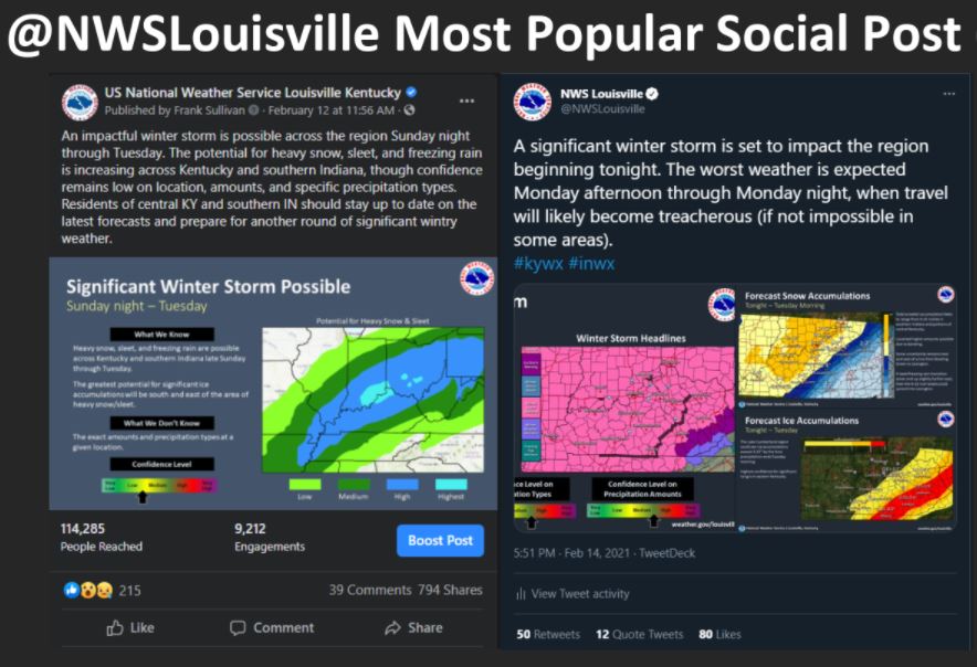
Our most popular social media posts from the last month's worth of wintry weather.
Current Hazards
Hazardous Weather Outlook
Storm Prediction Center
Submit a Storm Report
Advisory/Warning Criteria
Radar
Fort Knox
Evansville
Fort Campbell
Nashville
Jackson
Wilmington
Latest Forecasts
El Nino and La Nina
Climate Prediction
Central U.S. Weather Stories
1-Stop Winter Forecast
Aviation
Spot Request
Air Quality
Fire Weather
Recreation Forecasts
1-Stop Drought
Event Ready
1-Stop Severe Forecast
Past Weather
Climate Graphs
1-Stop Climate
CoCoRaHS
Local Climate Pages
Tornado History
Past Derby/Oaks/Thunder Weather
Football Weather
Local Information
About the NWS
Forecast Discussion
Items of Interest
Spotter Training
Regional Weather Map
Decision Support Page
Text Products
Science and Technology
Outreach
LMK Warning Area
About Our Office
Station History
Hazardous Weather Outlook
Local Climate Page
Tornado Machine Plans
Weather Enterprise Resources
US Dept of Commerce
National Oceanic and Atmospheric Administration
National Weather Service
Louisville, KY
6201 Theiler Lane
Louisville, KY 40229-1476
502-969-8842
Comments? Questions? Please Contact Us.


 Weather Story
 Weather Map
 Local Radar