Lake Charles, LA
Weather Forecast Office
| Event Summary |
Meteorological Setup |
Satellite and Radar Imagery |
Storm Total Rainfall |
Timeline | Sabine River | Neches River | Calcasieu River | Red River |
The following loop is 4km visible satellite imagery beginning March 7th and ending March 14th.
.gif)
The following loop is 4km IR satellite imagery beginning March 7th and ending March 14th.
.gif)
| Animated Radar Imagery | ||||
| Mississippi Valley Centered Radar | Southern Plains Centered Radar | |||
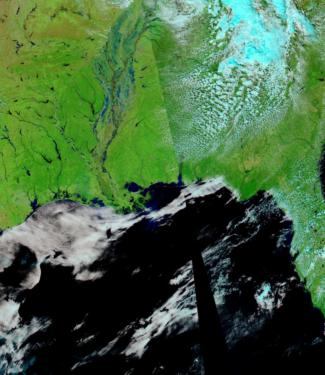
The following is false color MODIS imagery with 250 meter resolution. Click to see full sized image.
Forecasts
Graphical Forecasts
Wet Bulb Globe Temps
Aviation Weather
Activity Planner
Mardi Gras Decision Support
Marine Forecasts
Local Products
Model Data
Forecaster's Discussion
Fire Weather
Other Links
National Hurricane Ctr
Storm Prediction Ctr
Weather Prediction Ctr
Other Links
Office History
LCH StoryMap
Hazards
Severe Weather
Tropical Weather
National Outlooks
Local Storm Reports
Tropical Cyclone Reports
Current
Satellite Data
Observations
Tide Data
Hydrology
Calcasieu Par. Network
Jefferson Co. DD6 Network
River/Lake Forecasts
Radar
Shreveport (SHV)
New Orleans (LIX)
Fort Polk (POE)
Houston/Galveston (HGX)
Lake Charles (LCH)
Probabilistic Pages
Probabilistic Snowfall
Probabilistic Rainfall
Probabilistic DSS
US Dept of Commerce
National Oceanic and Atmospheric Administration
National Weather Service
Lake Charles, LA
500 Airport Boulevard
Lake Charles, LA 70607
(337) 477-5285 M-F 8a to 4p only
Comments? Questions? Please Contact Us.

