National Weather Service United States Department of Commerce

Tornadoes, Wind Damage & Flooding on January 3, 2015

Event Summary for Central Alabama

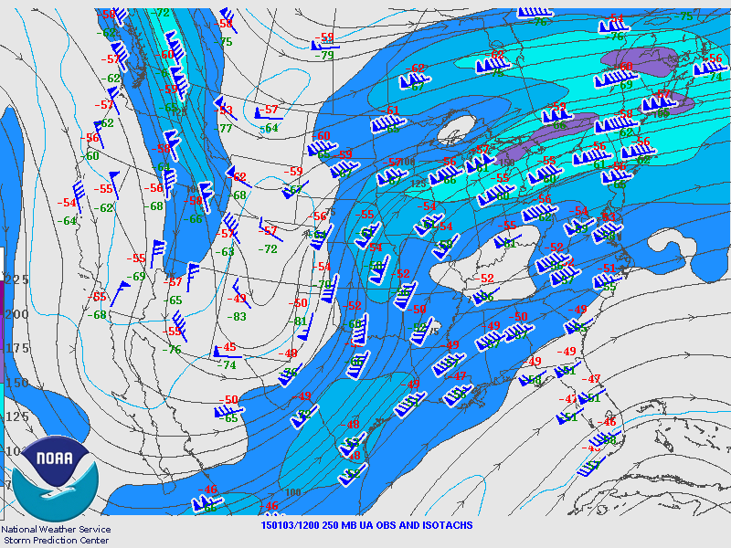
A coastal warm front moved quickly northward Friday, January 2nd and Saturday, January 3rd. This southerly surge provided moderate instability and moisture for early January across parts of the southeast. Coincident with the warm surge northward, a dynamic upper level storm system was moving into the Lower Mississippi Valley along with its associated surface cold front.

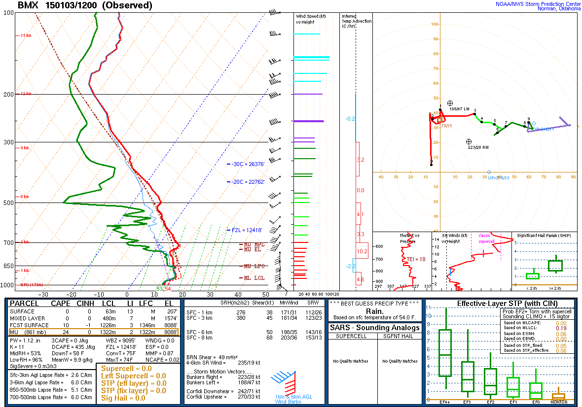
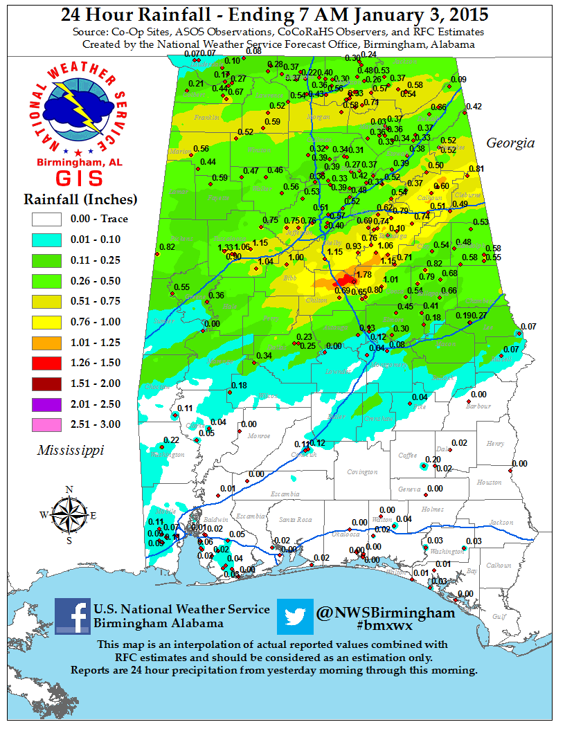
A significant wind speed increase through several layers of the atmosphere allowed enough shear for supercell thunderstorms and tornado development. As time progressed, a line of thunderstorms organized and moved eastward ahead of the cold front. Central Alabama had several reports of thunderstorm wind damage, flooding, and 5 tornadoes. Widespread rainfall amounts were 2 to 5 inches, with rain occurring several days in a row. Additionally, heavy rain fell a few times over the past 10 days.

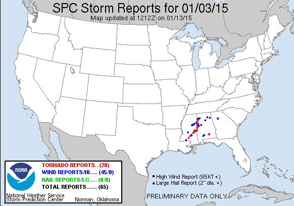
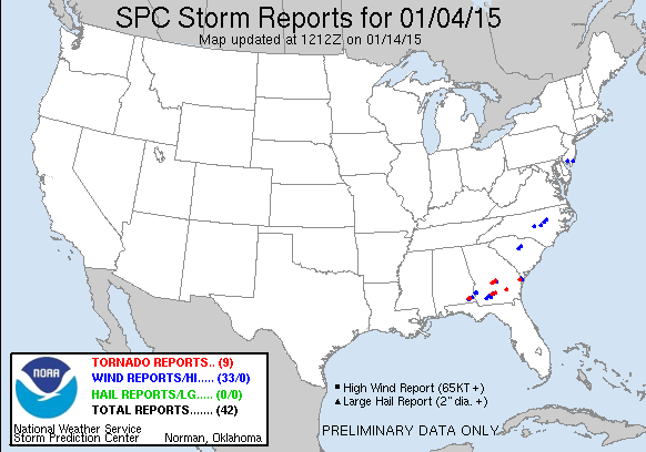
Wind damage reports were received from Louisiana, Mississippi, Alabama, Georgia, South Carolina and North Carolina. Tornadoes were reported in Mississippi, Alabama and Georgia.

The information contained below is the individual tornado events that occurred. The data is PRELIMINARY and may be subject to change.

 
Location/Clickable Detailed Summary Link
Damage Rating/Estimated Maximum Wind Speeds
Injuries/Fatalities
Damage Path Length/Width
Starting Point/Time
Ending Point/Time
Cuba Tornado
(Sumter County)
EF-0
80 mph
None
0.67 miles
100 yards
32.4312/-88.3707
406 pm
32.4370/-88.3615
408 pm
Old Bodka Road Tornado
(Sumter County)
EF-1
95 mph
None
1.25 miles
200 yards
32.8062/-88.2937
436 pm

32.8211/-88.2822
437 pm

County Road 117 Tornado
(Greene County)
EF-1
100 mph
None
1.63 miles
400 yards
32.9596/-88.1268
455 pm
32.9827/-88.1229
457 pm
Jena Tornado
(Greene & Tuscaloosa County)
EF-0
80 mph
None
1.27 miles
100 yards
33.1243/-87.8438
519 pm
33.1382/-87.8298
521 pm
Hamilton Tornado
(Marion County)
EF-0
85 mph
None
0.28 miles
60 yards
34.1765/-87.9537
523 pm
34.1778/-87.9491
523 pm

 Flooding Information


Pertinent Geographic Information Systems (GIS) Data from this Event

Severe Weather Episode Data 

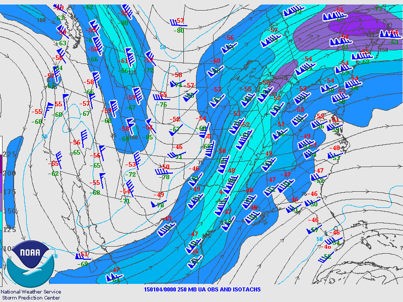
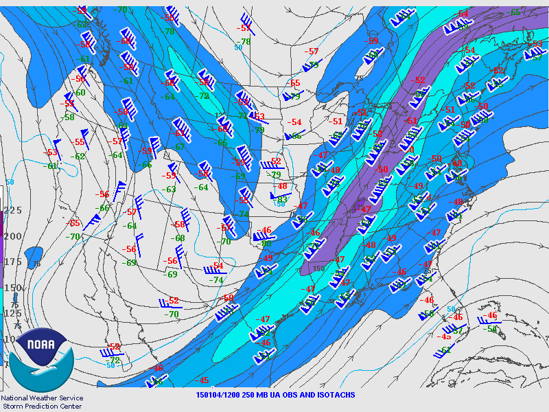
250 mb
250 mb Analysis
January 3 6 am

250 mb
250 mb Analysis
January 3 6 pm

250 mb
250 mb Analysis
January 4 6 am

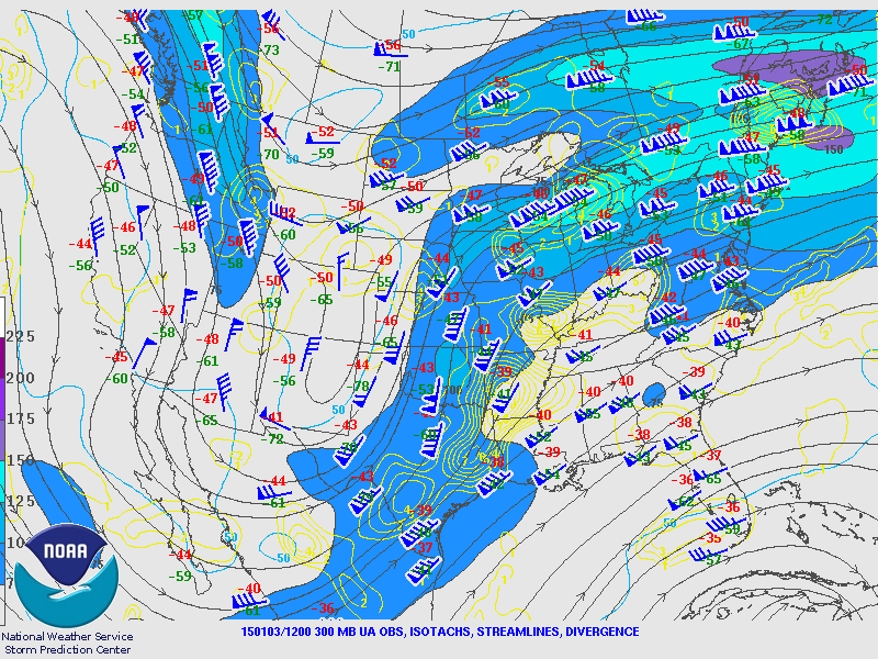
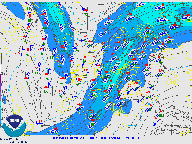
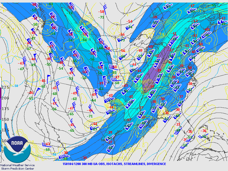
300 mb
300 mb Analysis
January 3 6 am

300 mb
300 mb Analysis
January 3 6 pm

300 mb
300 mb Analysis
January 4 6 am

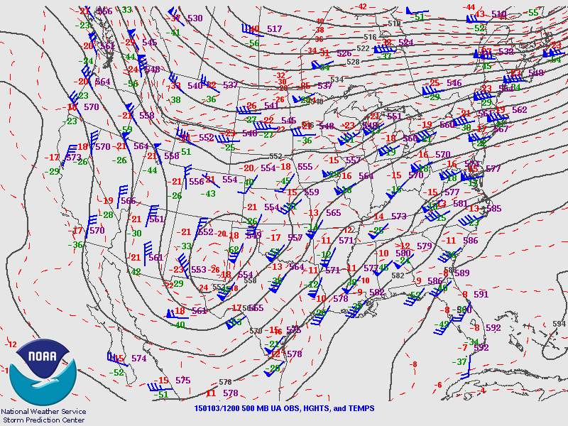
500 mb
500 mb Analysis
January 3 6 am

500 mb
500 mb Analysis
January 3 6 pm

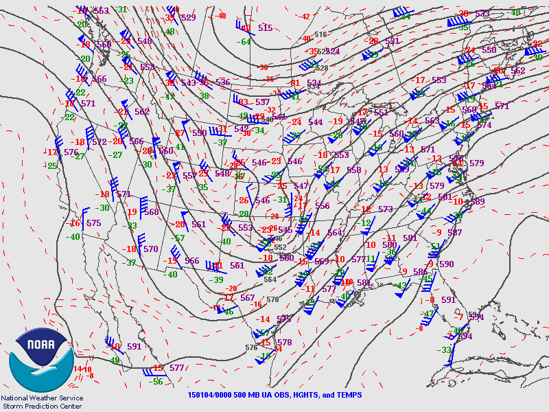
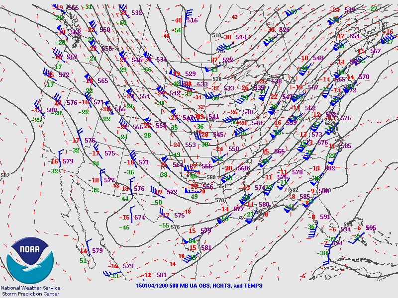
500 mb
500 mb Analysis
January 4 6 am

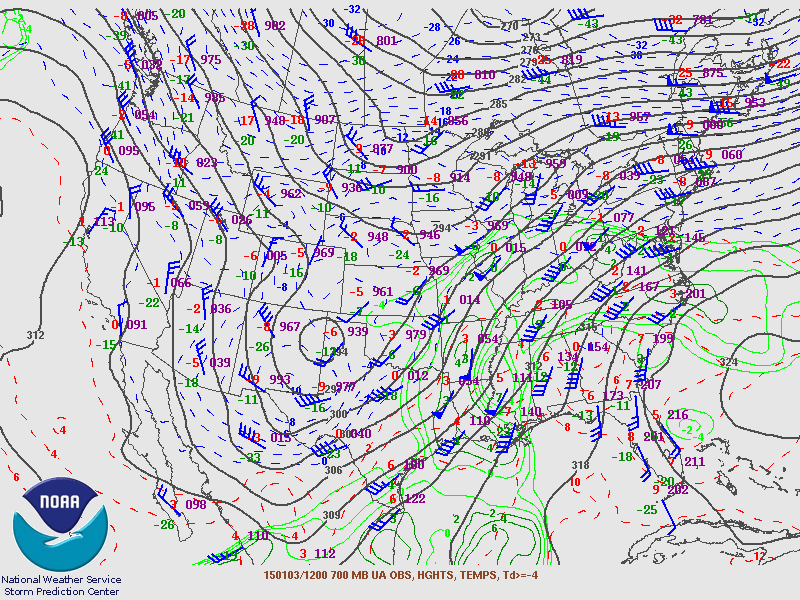
700 mb
700 mb Analysis
January 3 6 am

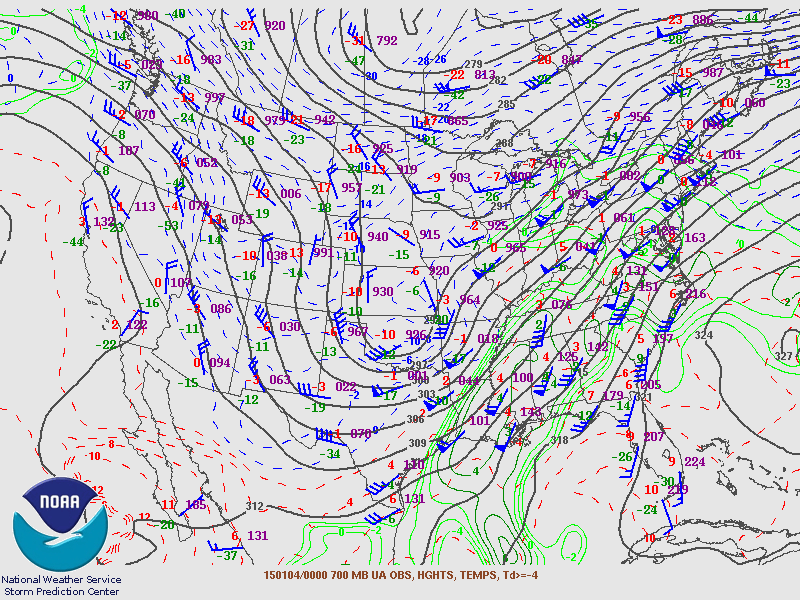
700 mb
700 mb Analysis
January 3 6 pm

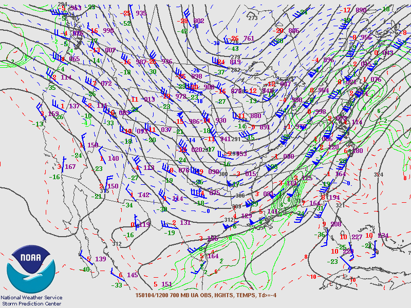
700 mb
700 mb Analysis
January 4 6 am

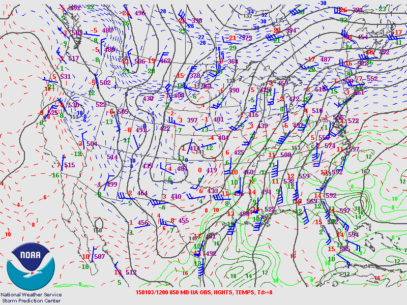
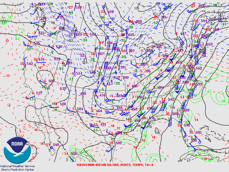
850 mb
850 mb Analysis
January 3 6 am

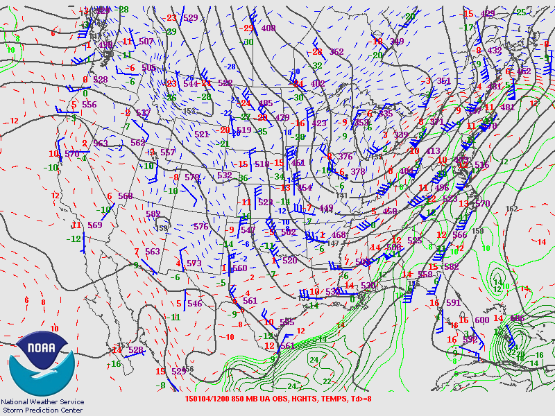
850 mb
850 mb Analysis
January 3 6 pm

850 mb
850 mb Analysis
January 4 6 am

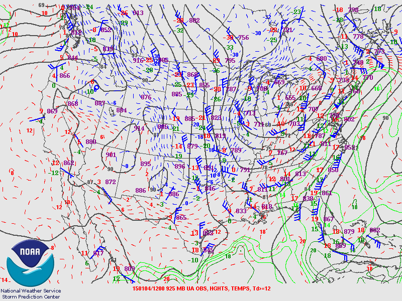
925 mb
925 mb Analysis
January 3 6 am

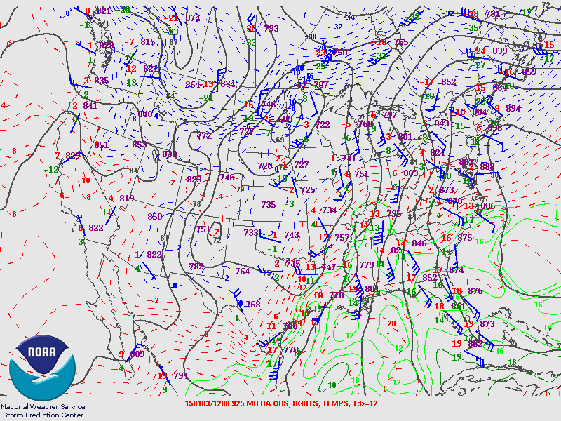
925 mb
925 mb Analysis
January 3 6 pm

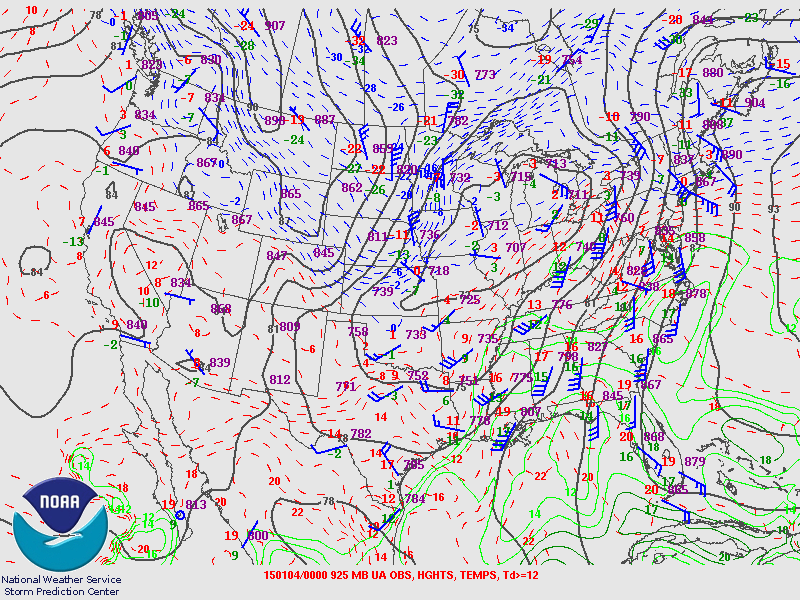
925 mb
925 mb Analysis
January 4 6 am

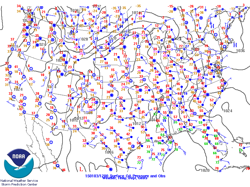
sfc
Surface Analysis
January 3 6 am

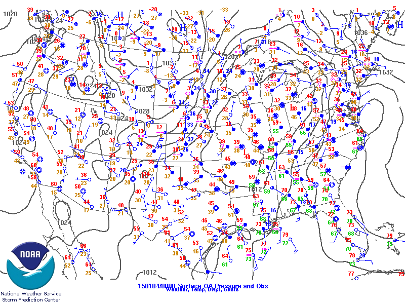
sfc
Surface Analysis
January 3 6 pm

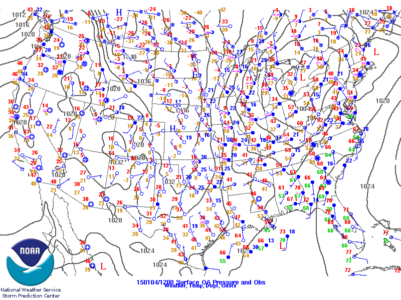
sfc
Surface Analysis
January 4 6 am

sfc
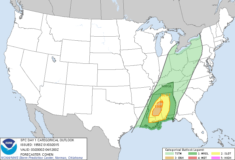
Day 1 Outlook
Issued January 3 2 pm

sfc
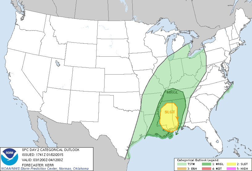
Day 2 Outlook
Issued January 2 1130 am

sfc
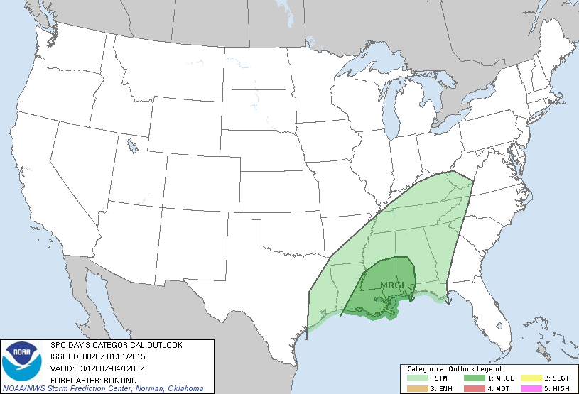
Day 3 Outlook
Issued January 1 228 am

sfc
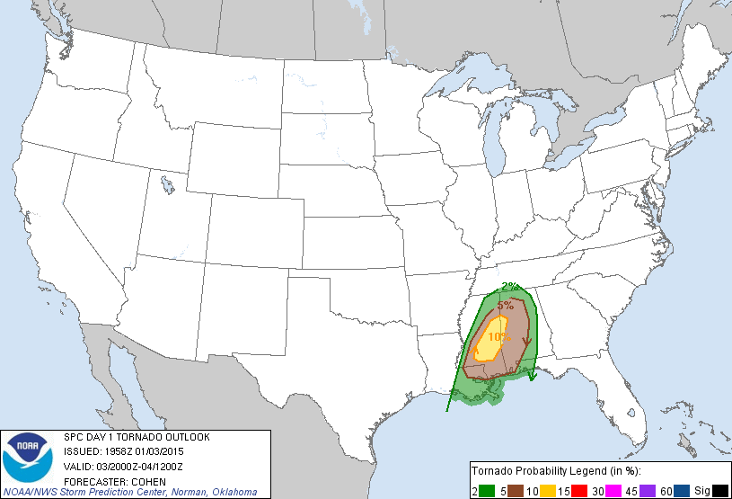
Day 1 Tornado Probabilities
Issued January 3 2 pm

sfc
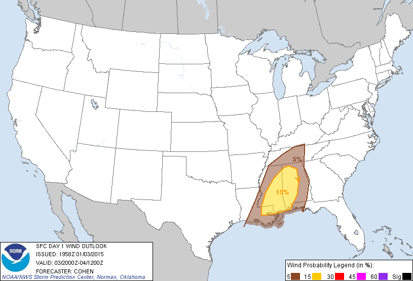
Day 1 Wind Damage Probabilities
Issued January 3 2 pm

sfc
Day 1 Hail Probabilities
Issued January 3 2 pm

Storm Reports
Storm Reports
January 2 2015

Storm Reports
Storm Reports
January 3 2015

Storm Reports
Storm Reports
January 4 2015


JAN Sounding 12z


BMX Sounding 12z


JAN Sounding 18z


Rainfall Ending 7 am Jan 2nd


Rainfall Ending 7 am Jan 3rd


Rainfall Ending 7 am Jan 4th


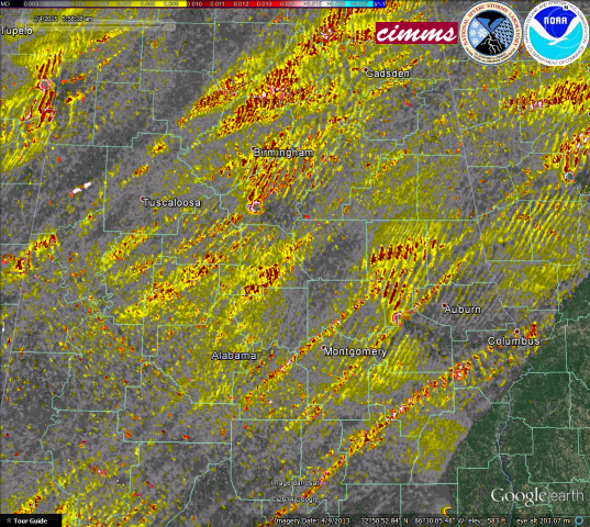
Mesocyclone Tracks