National Weather Service United States Department of Commerce


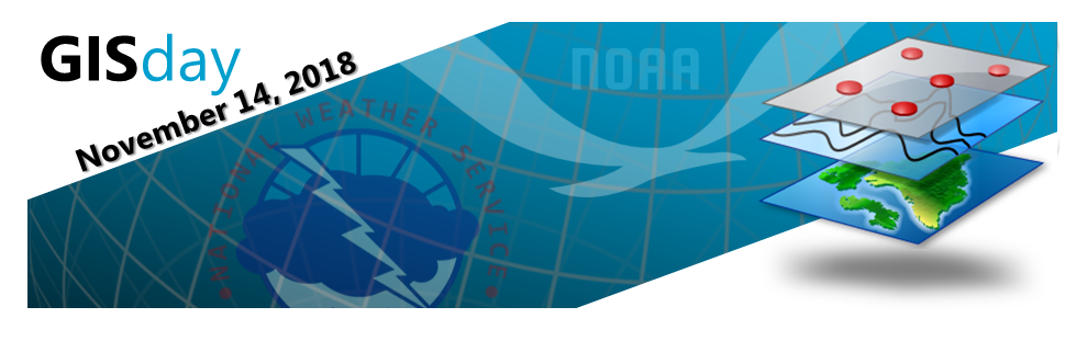
Wednesday, November 14th, 2018, is GIS Day around the world!

What is GIS?
A geographic information system (GIS) integrates hardware, software, and data for capturing, managing, analyzing, and displaying all forms of geographically referenced information. It allows us to view, understand, question, interpret, and visualize data in many ways that reveal relationships, patterns, and trends in the form of maps, globes, reports, and charts.

Does the National Weather Service utilize GIS?
With ever greater usage of Geographic Information Systems by partners and customers, NOAA and the National Weather Service have continued to expand our GIS products and services to meet their needs. However, there are many people that may not even realize they are
using National Weather Service GIS products on a daily basis. Any time you check radar, you are using GIS. Anytime you click on a map to get a forecast...GIS. Watches, warnings, advisories...you guessed it...GIS.

Where can I find more information about GIS products and services offered through NOAA and the NWS?
Links to a brochure on NWS GIS products and services is provided above. To see additional examples of how GIS is improving NWS products and services, please take a look at the examples below and hover over the images for more information. Web links to additional NOAA and NWS GIS resources can also be found below.

Radar

Graphical Forecast Products

Precipitation Mapping

Point and Click Forecasts

Enhanced Data Displays

Storm Damage Surveys

Unique or Special Event Mapping

Weather Event Impact Analysis

Flood Inundation Mapping

NWS Real Time GIS Data

RIDGE Radar Composites

Severe Weather Polygons

National Digital Forecast Database

Sea Ice Analysis and Forecasts

National Hurricane Center

Climate Prediction Center

Weather Prediction Center

National Centers for Environmental Information

National Operational Hydrologic Remote Sensing Center

NOHRSC 3-D Snowfall Maps

WDSS-II Real-Time Severe Weather Tracks and Data


nowCOAST: Real-Time Coastal Observations and Forecasts

NOAA Fisheries GIS

NOAA GeoPlatform

NGDC: National Geophysical Data Center

NOAA Office of Satellite and Product Operations

NOAA Office for Coastal Management

This page provided by the NWS Central Region Geospatial Projects Group