|
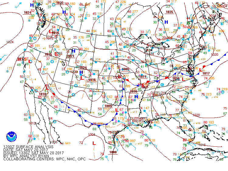
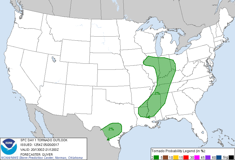
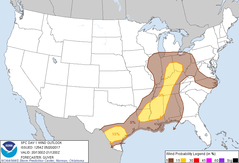
A 500 mb open longwave trough, with some semblance of negative tilt, was present across the Central Plains on May 20th 2017. The upper level jet axis was positioned from the Arklatex north through the Missouri valley region during the early morning hours. Meanwhile, broadly diffluent flow existed across the Mid South and Tennessee Valley regions due to the meriodinal flow on the cylconic side of the trough. At 850 mb, very strong thermal and moisture advection was evident, with dewpoints in excess of +14 Celsius(+57F) feeding northward into northern Mississippi on the morning of the 20th. There was also a subtle convergence boundary due to the impact/position of the western Atlantic ridge. Although the 12z sounding from BMX was rather unimpressive, with MLCAPE was below 300 J/kg and the deep layer (0- km) shear was less than 20 knots, the precipitable water values were fairly high for mid May at 1.4 inches. The atmosphere began to destabilize during the afternoon, as sufficient daytime heating occurred and higher dewpoints filtered into the area, and by 4 pm, MLCAPE values had risen above 1000 j/kg.
Showers and thunderstorms developed to the west and to the south of the TN Valley along outflow boundaries from earlier convection. The northward moving line of thunderstorms to our south merged (or quasi-merged) with a weaker eastward moving cluster of storms and evolved into a rather long lived Bow Echo/Multi-Cell cluster. Damage was noted in several counties across northern Alabama and southern Tennessee from Cullman into Franklin TN. By far the most intense damage was noted across southern Madison county. Based on radar, video, photo, and survey reviews, straight line winds were estimated to max at around 90 mph. There were also some indications of quick spinup/gustnado type of vortices along the leading edge of the shelf cloud.
|


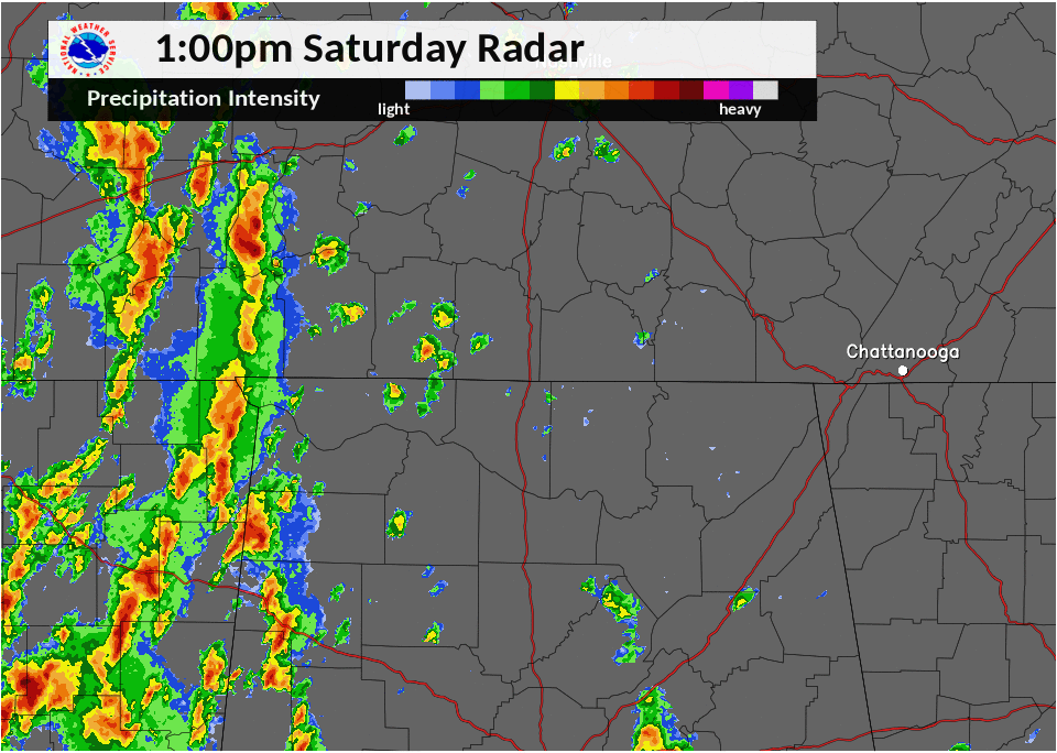


 Local Radar
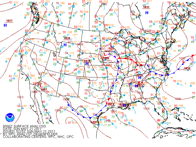
 Weather Map