National Weather Service United States Department of Commerce

Event Summary

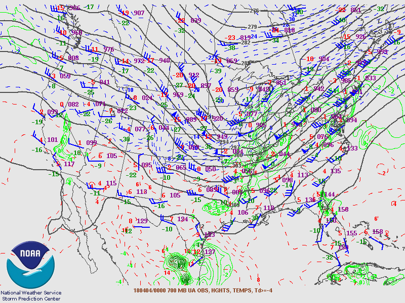
During the late afternoon and early evening hours on April 3rd (Tuesday), a strong area of low pressure was centered over eastern Indiana and western Ohio. A strong cold front extended southwest from this area of low pressure into central Arkansas and eastern Texas. Ahead of this front, strong to severe thunderstorms developed during the afternoon hours on Tuesday closer to the parent low near the Ohio Valley. During the evening hours on Tuesday, as the parent surface low moved northeast into the Great Lakes region, the better helicity, shear, and upper level lapse rates shifted further northeast as well. 

However, due to very warm temperatures in the 80 to 85 degree range that were reached during the afternoon, strong low/mid level lapse rates and surface based instability between 500 and 1000 J/kg was in place near and west of I-65 around 7 PM. This was in place ahead of a second line of strong to severe storms that formed from earlier convection in eastern Arkansas and western Mississippi. As this line (which was aided by a 40 to 50 knot low level jet, 100 knot upper level jet, and dry air entrainment near the surface) pushed east into an unstable but weakly sheared environment, it held together and produced widespread damaging winds across much of northern Alabama, including some gusts up between 70 and 75 mph in the Huntsville and Decatur areas after 9 PM. This line weakened as moved east of interstate I-65 and moved out of northeastern Alabama shortly after midnight on Tuesday, but still produced areas of damaging winds in those areas as well.


Image Image
Line of Strong to Severe Storms at 9:40 PM Tuesday night Click to image to view the storm reports.

Upper Air Charts


Image

500mb Chart at 7am April 3rd

Image

700mb Chart at 7am April 3rd

Image

850mb Chart at 7am April 3rd

Image

500mb Chart at 7pm April 3rd

Image

700mb Chart at 7pm April 3rd

Image

850mb Chart at 7pm April 3rd

Back to the Top of the Page

Surface Charts

Image

10 AM April 3rd

Image

4 PM April 3rd

Image

7 PM April 3rd

Image

10 PM April 3rd

Image

1 AM April 4th

Image

4 AM April 4th

Back to the Top of the Page

SPC Outlooks

Image

Day 1 Outlook
Issued 7:32 PM CDT on April 3rd

Image

Day 2 Outlook
Issued 1221 PM CDT April 2nd

Image

Day 3 Outlook
Issued 229 AM CDT on April 1st

Image

Day 1 Tornado Probability
Issued 7:32 PM on April 3rd

Image

Day 1 Wind Probability
Issued 7:32 PM on April 3rd

Image

Day 1 Hail Probability
Issued 7:32 PM April 3rd

Back to the Top of the Page

Images

Image

Damage to Marina in Decatur
Photo Credit: Hannah Stephens

Image

Additional damage to Marina in Decatur
Photo Credit: Shelia O'Connor

Image

Some structural damage in Scottsboro
Photo Credit: Hannah Stephens

Image

Fairly large tree uprooted in Scottsboro
Photo Credit: Allen Stroud

Image

Large tree fell on a house in the Jones Valley area
Photo Credit: JW Welker

Image

Very large tree uprooted in Decatur area
Photo Credit: WHNT

Back to the Top of the Page

Wind Reports:

Public Information Statement
National Weather Service Huntsville AL
202 AM CDT Fri Apr 6 2018

...Wind Reports...

Location                     Speed     Time/Date       Lat/Lon              
6 ENE Huntsville             73 MPH    1100 PM 04/03   34.74N/86.53W        
Pryor Field Airport          72 MPH    1029 PM 04/03   34.65N/86.95W        
Huntsville International Air 70 MPH    1038 PM 04/03   34.64N/86.79W        
4 SSE Athens                 67 MPH    1033 PM 04/03   34.73N/86.94W        
4 NW Huntsville              64 MPH    1048 PM 04/03   34.76N/86.68W        
4 NW Huntsville              64 MPH    1053 PM 04/03   34.76N/86.68W        
5 SSW Hillsboro              64 MPH    1020 PM 04/03   34.57N/87.23W        
North West Alabama Regional  62 MPH    0946 PM 04/03   34.75N/87.61W        
4 WNW Owens Crossroads       58 MPH    1107 PM 04/03   34.61N/86.53W        
2 NW Huntsville              55 MPH    1100 PM 04/03   34.72N/86.65W        
2 SSW Redstone Arsenal       54 MPH    1054 PM 04/03   34.65N/86.67W        
2 E Moores Mill              51 MPH    1110 PM 04/03   34.86N/86.48W        
2 NNE Trinity                51 MPH    1025 PM 04/03   34.63N/87.08W        
2 SSW Redstone Arsenal       50 MPH    1048 PM 04/03   34.65N/86.67W        
3 WSW Hollywood              49 MPH    1135 PM 04/03   34.69N/86.01W        
1 NNW Flint City             48 MPH    1029 PM 04/03   34.54N/86.98W        
Moulton                      47 MPH    1020 PM 04/03   34.48N/87.29W        
7 ESE Moulton                47 MPH    1025 PM 04/03   34.42N/87.17W        
3 S Redstone Arsenal         47 MPH    1048 PM 04/03   34.63N/86.67W        
3 SSW Redstone Arsenal       47 MPH    1048 PM 04/03   34.64N/86.67W        
2 W Redstone Arsenal         46 MPH    1046 PM 04/03   34.68N/86.68W        
4 N Grayson                  45 MPH    1027 PM 04/03   34.34N/87.34W        
4 WNW Gurley                 44 MPH    1125 PM 04/03   34.74N/86.44W        
3 S Redstone Arsenal         44 MPH    1049 PM 04/03   34.63N/86.66W        
4 NNW Madison                43 MPH    1049 PM 04/03   34.76N/86.78W        
2 SW Redstone Arsenal        43 MPH    1053 PM 04/03   34.65N/86.68W        
Winchester                   43 MPH    1135 PM 04/03   35.18N/86.07W        
4 S Hillsboro                42 MPH    1022 PM 04/03   34.57N/87.17W        
Florence                     41 MPH    0946 PM 04/03   34.84N/87.67W        
5 W Underwood-Petersville    41 MPH    0936 PM 04/03   34.90N/87.80W        
1 NNE Rogersville            41 MPH    1011 PM 04/03   34.84N/87.28W        
2 NW Huntsville              40 MPH    1055 PM 04/03   34.73N/86.66W        
2 SSW Florence               40 MPH    0946 PM 04/03   34.80N/87.67W        
5 WNW Union Grove            39 MPH    1103 PM 04/03   34.43N/86.53W        
3 S Redstone Arsenal         39 MPH    1059 PM 04/03   34.63N/86.66W        
1 N Madison                  38 MPH    1050 PM 04/03   34.73N/86.75W        
2 W Redstone Arsenal         38 MPH    1101 PM 04/03   34.68N/86.68W        
2 SSW Redstone Arsenal       37 MPH    1054 PM 04/03   34.64N/86.67W        
3 W Gurley                   37 MPH    1104 PM 04/03   34.70N/86.43W        
Albertville                  36 MPH    1135 PM 04/03   34.23N/86.26W        
3 NW New Market              36 MPH    1120 PM 04/03   34.95N/86.47W        
12 W Moulton                 36 MPH    1002 PM 04/03   34.45N/87.48W        
1 SSW Redstone Arsenal       35 MPH    1100 PM 04/03   34.66N/86.66W        
5 SSE Harvest                34 MPH    1059 PM 04/03   34.79N/86.71W        
3 S Huntland                 33 MPH    1126 PM 04/03   35.01N/86.27W        
1 E Crossville               33 MPH    1145 PM 04/03   34.29N/85.97W        
Madison County Executive Air 33 MPH    1135 PM 04/03   34.64N/86.78W        
3 SW Meridianville           33 MPH    1105 PM 04/03   34.84N/86.62W        
Folsom Fld Ap                32 MPH    1055 PM 04/03   34.27N/86.86W        
7 N Hazel Green              31 MPH    1058 PM 04/03   35.03N/86.55W        
2 NW Owens Crossroads        30 MPH    1101 PM 04/03   34.62N/86.48W        
2 ENE Hazel Green            30 MPH    1108 PM 04/03   34.93N/86.53W        
&&

Observations are collected from a variety of sources with varying
equipment and exposures. We thank all volunteer weather observers 
for their dedication. Not all data listed are considered official.