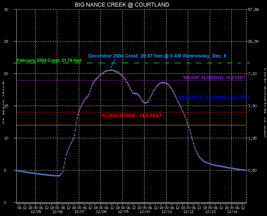
Hydrograph of the flooding from Big Nance Creek at Courtland, with reference stages (click for a larger image).
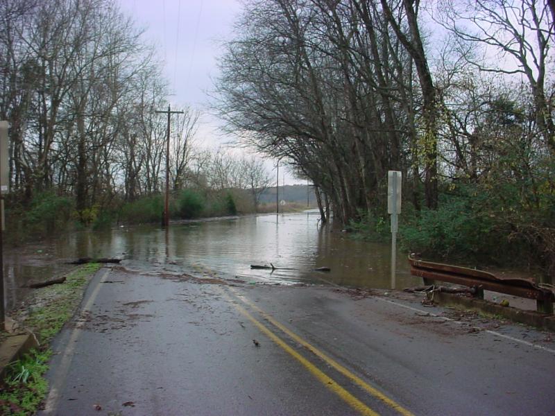
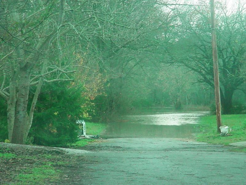
Water covers County Road 150 just south of Courtland. Although an emergency vehicle was able to get through this...we ask that you always Turn Around...Don't Drown!
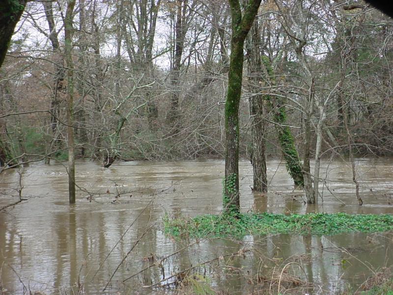
A view of Big Nance Creek in Courtland. Normally the creek has a very deep channel; but in flood, has turned into a very wide channel instead.
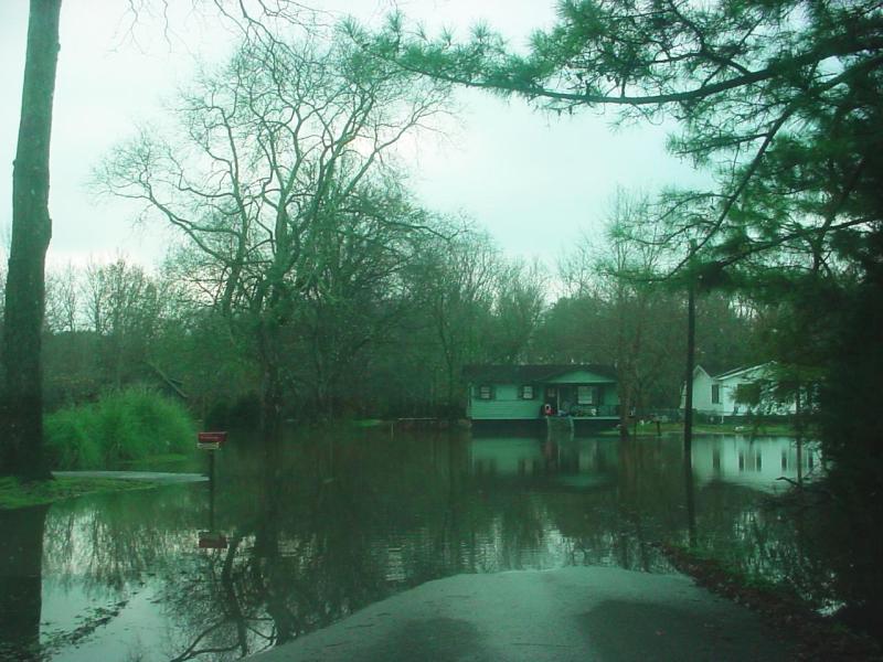
Flood waters from Big Nance Creek cut these homes off from the rest of the town of Courtland.
We're not joking: this really is Water Street in Courtland.


 Local Radar
 Weather Map