Colder and drier conditions will prevail on Monday. The morning will start off cold, with temperatures below or near freezing before sunrise and warm up in the afternoon, with highs reaching the lower to mid 50s. Light northeasterly winds expected in the morning, becoming easterly in the afternoon.


 Local Radar
 Weather Map
 TX Satellite Imagery
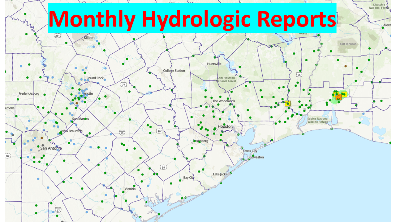 Monthly Hydrologic Reports
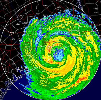 Hurricane Preparedness
 CONUS Satellite Imagery
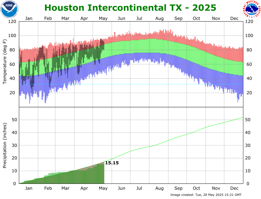 Climate Graphs
 Climate Summaries