Scattered thunderstorms are possible on Sunday. Conditions may favor the development of strong to severe thunderstorms, especially for northern portions of our area. The primary concerns are damaging wind gusts and large hail. Isolated tornado possible.


 Local Radar
 Weather Map
 TX Satellite Imagery
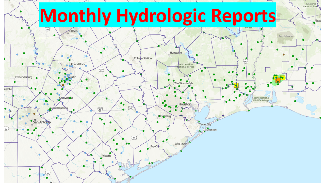 Monthly Hydrologic Reports
 Hurricane Preparedness
 CONUS Satellite Imagery
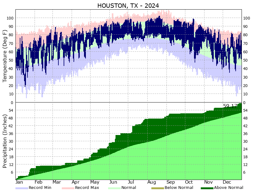 Climate Graphs
 Climate Summaries