Forecast for Friday night, December 12, 2025: The warming trend persists, with overnight lows staying in the mid-50s to low 60s across Southeast Texas. As moisture increases, residents should prepare for areas of fog developing Friday night into Saturday morning, which may become dense at times. Specific low temperatures include 61°F in Houston and Galveston, and 54°F in College Station. "Patchy Sea Fog" is explicitly highlighted along the coastline.


 Local Radar
 Weather Map
 TX Satellite Imagery
 Monthly Hydrologic Reports
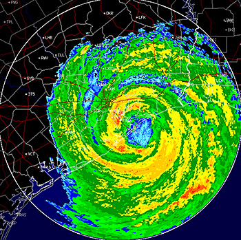 Hurricane Preparedness
 CONUS Satellite Imagery
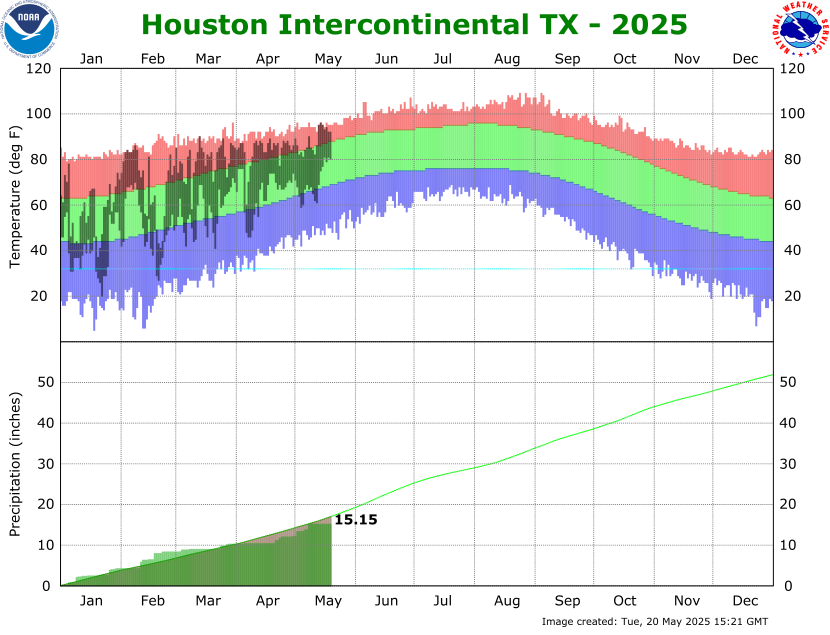 Climate Graphs
 Climate Summaries