Greenville-Spartanburg, SC
Weather Forecast Office
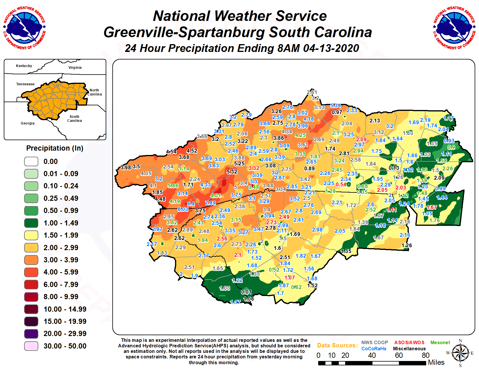
A strong storm system impacted the Southeast, resulting in an area of widespread heavy rain and embedded strong to severe thunderstorms that moved across northeast Georgia and the western Carolinas during the late night and early morning hours of 13 April 2020. This resulted in severe weather, including a couple of strong tornadoes over the Upstate, one of which was the strongest tornado to impact that area in more than 25 years. Localized flash flooding, some of which was quite significant developed across the mountains. Strong southerly gradient winds also caused some damage across mainly the high elevations of western North Carolina.
The EF3 tornado that tracked across southern Oconee County, including the city of Seneca was only the 3rd E/F3 or stronger tornado to impact northeast Georgia and the western Carolinas since 1994. The event was also unprecedented for our area, as it was the first "official" E/F3 or stronger tornado (official NWS tornado records date back to 1950) to have occurred outside the favored afternoon/evening time frame. (You can find out a little more about the history of E/F3 and E/F4 tornadoes in the western Carolinas and northeast Georgia at this link). In fact, prior to this event, there had never been an official E/F2 tornado during the overnight hours (defined as midnight through 6 AM) in the ten counties comprising upstate South Carolina.
The intensity of the Oconee County tornado and the unusual time of day were the result of an unusual set of atmospheric conditions for our area. The necessary ingredients for thunderstorms capable of producing tornadoes are moisture, instability, strong lift in the atmosphere, and strong wind shear (i.e., winds changing direction and increasing strongly with height). Relative to more tornado-prone areas of the country (i.e., the Great Plains and the lower Mississippi Valley), the geography of our area makes it quite difficult for these ingredients to "overlap," with robust instability often being the missing ingredient. In fact, research has shown that the "typical" tornado environment over the western Carolinas and northeast Georgia features only weak instability. During the early morning hours of 13 April 2020 moderate instability was juxtaposed with strong and focused lift along a cold front and very strong wind shear to produce favorable conditions for significant tornadoes.

| 20200413 0000 UTC | |||
925 mb analysis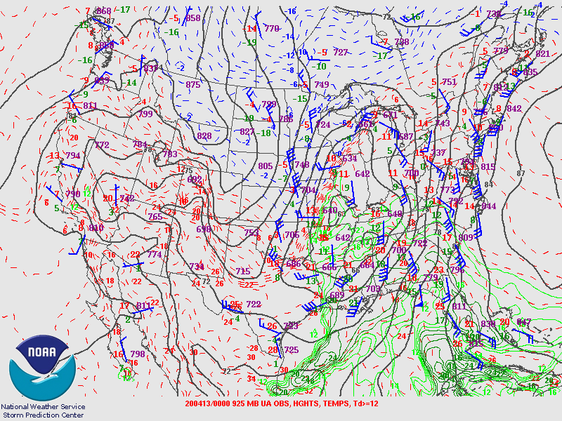 |
850 mb analysis |
700 mb analysis |
500 mb analysis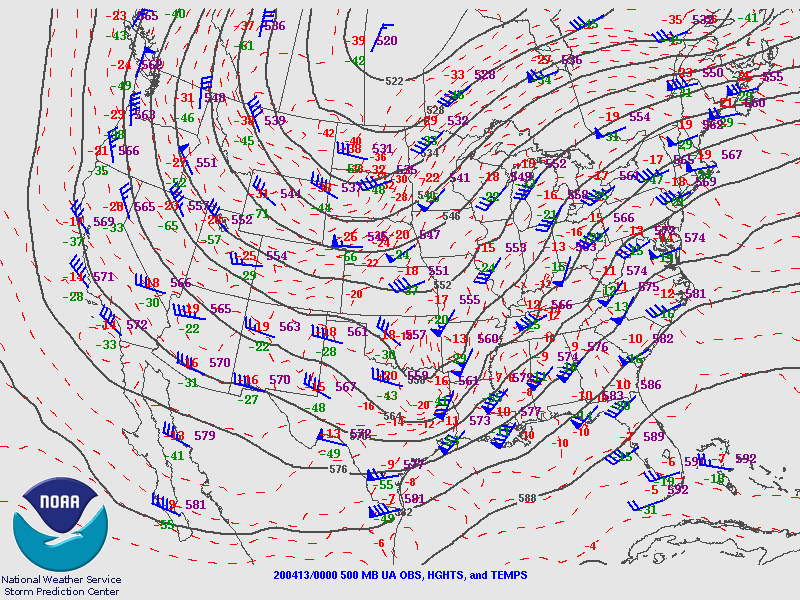 |
| 20200413 0000 UTC | |||
300 mb analysis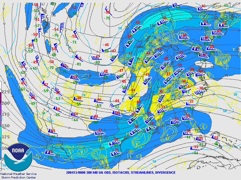 |
Peachtree City GA Observed Sounding 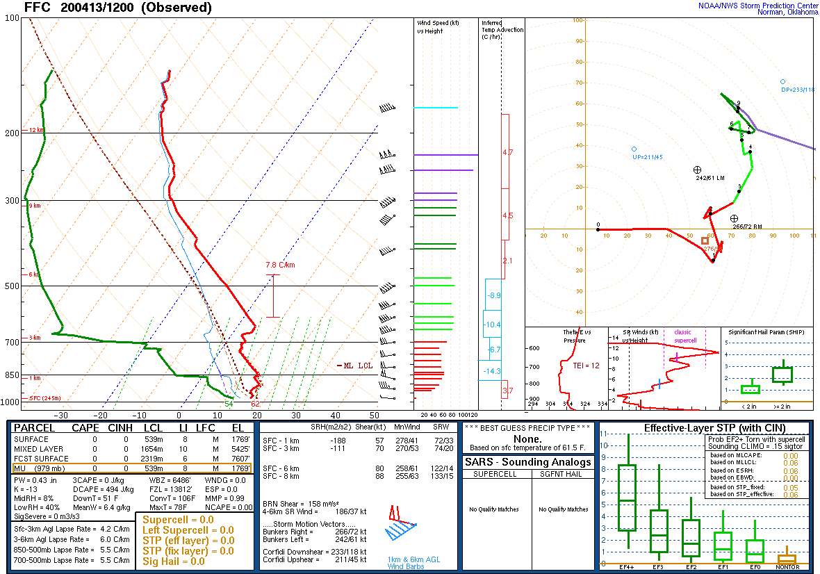 |
Greensboto NC Observed Sounding  |
Blacksburg VA Observed Sounding 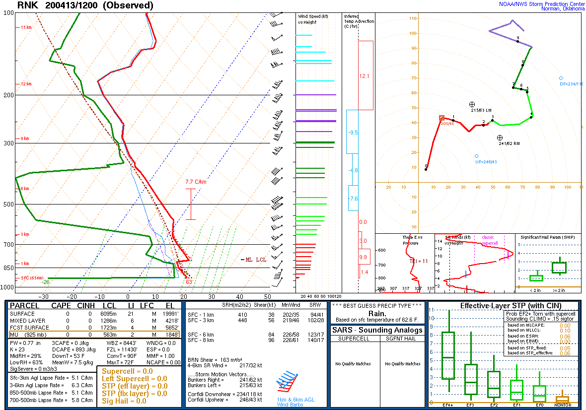 |
| 20200413 0000 UTC | |||
Surface Obs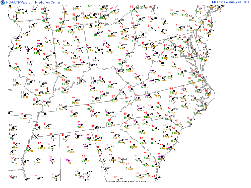 |
Surface Convergence & Vorticity |
Mixed Layer CAPE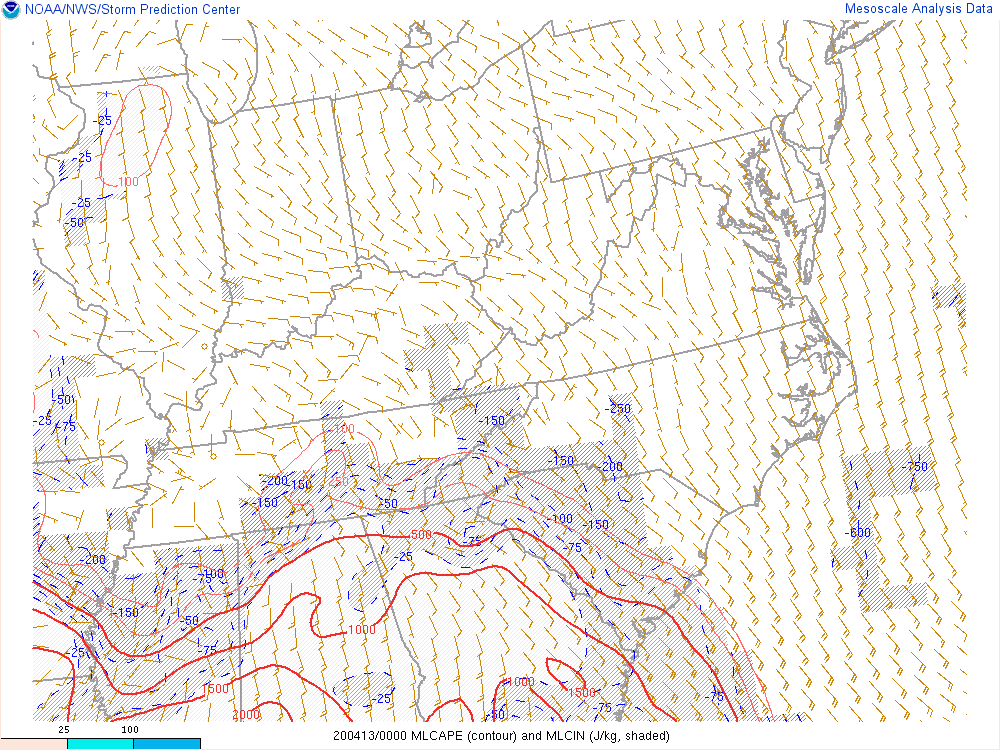 |
Mixed Layer CAPE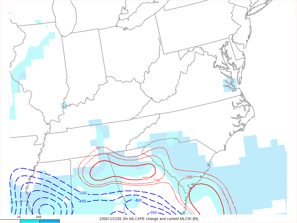 |
| 20200413 0000 UTC | |||
Most Unstable CAPE |
Most Unstable CAPE |
Low Level Lapse Rate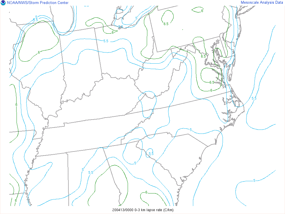 |
Low Level Lapse Rate |
| 20200413 0000 UTC | |||
CAPE in Hail Growth Layer |
0-1km Shear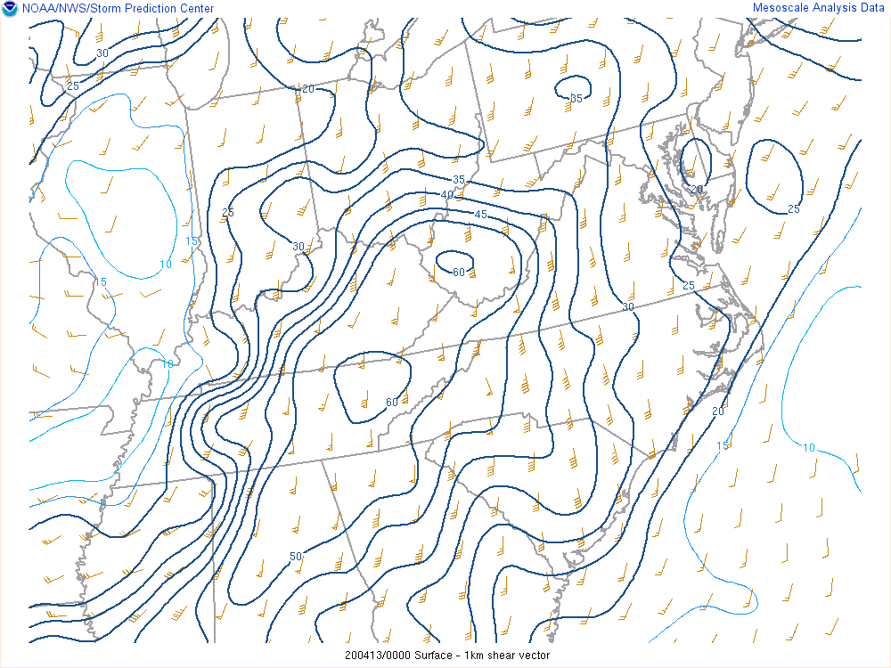 |
0-1km Shear |
0-6km Shear |
| 20200413 0000 UTC | |||
0-6km Shear |
Modified SHERBE |
Sig Tor Parameter |
Sig Tor Parameter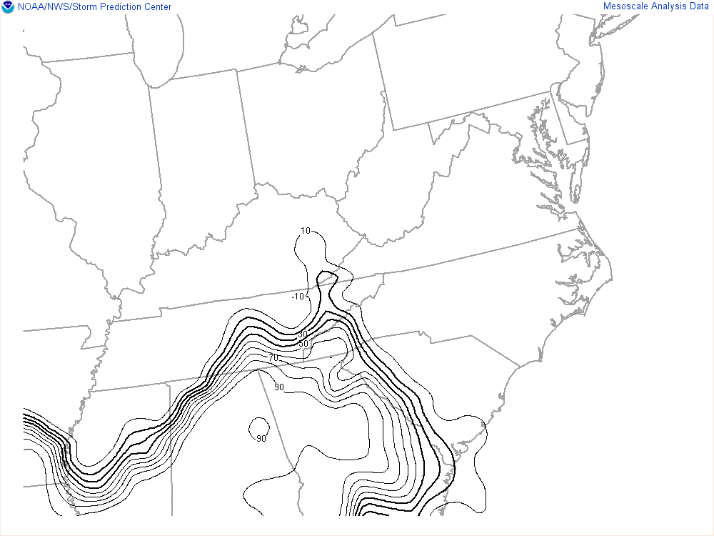 |
| 20200413 0000 UTC | |||
Precipitable Water |
850 mb Moisture Transport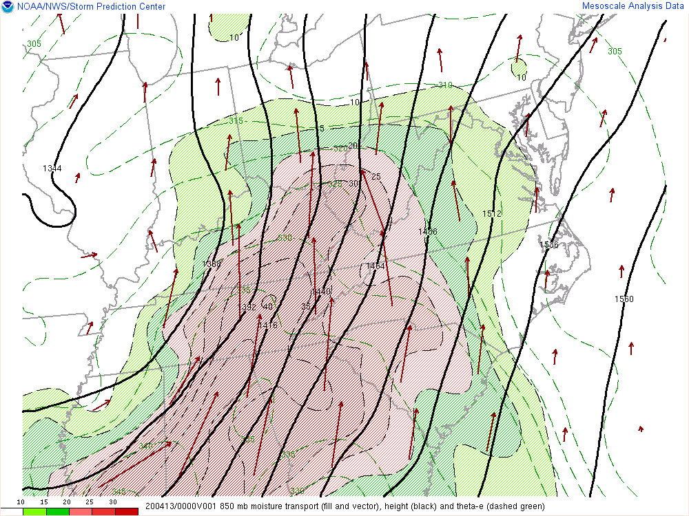 |
Deep Lyr Moist Flux Conv & Mixing Ratio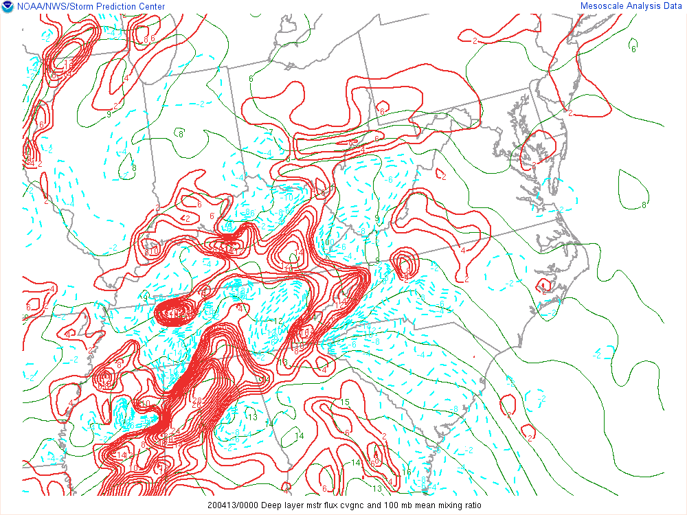 |
|
| 20200413 0300 UTC | |||
Surface Obs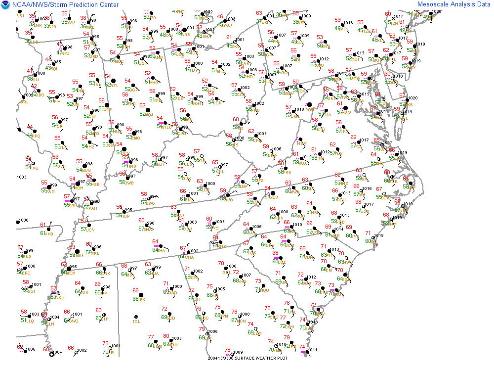 |
Surface Convergence & Vorticity |
Mixed Layer CAPE |
Mixed Layer CAPE |
| 20200413 0300 UTC | |||
Most Unstable CAPE |
Most Unstable CAPE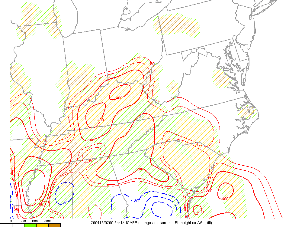 |
Low Level Lapse Rate |
Low Level Lapse Rate |
| 20200413 0300 UTC | |||
CAPE in Hail Growth Layer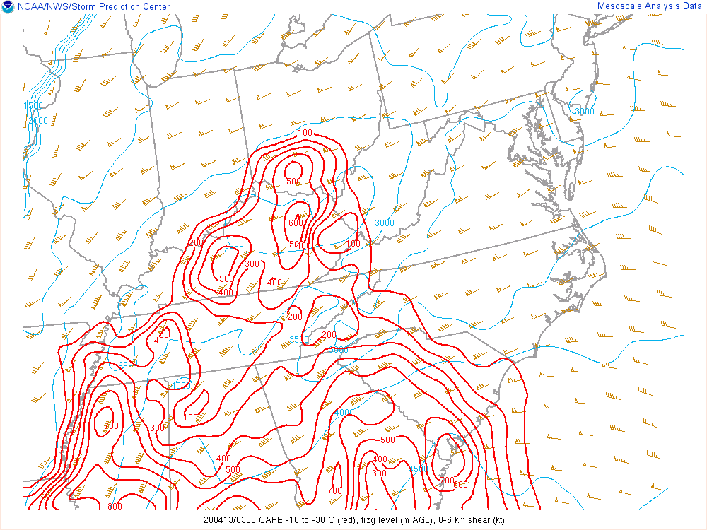 |
0-1km Shear |
0-1km Shear |
0-6km Shear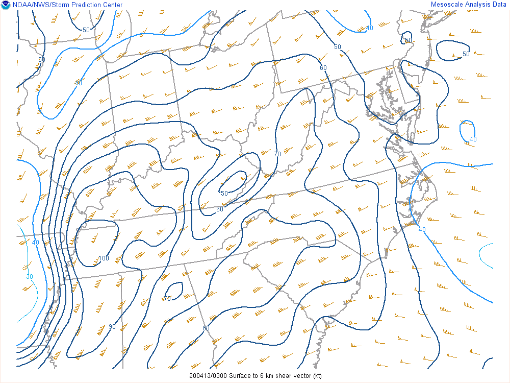 |
| 20200413 0300 UTC | |||
0-6km Shear |
Modified SHERBE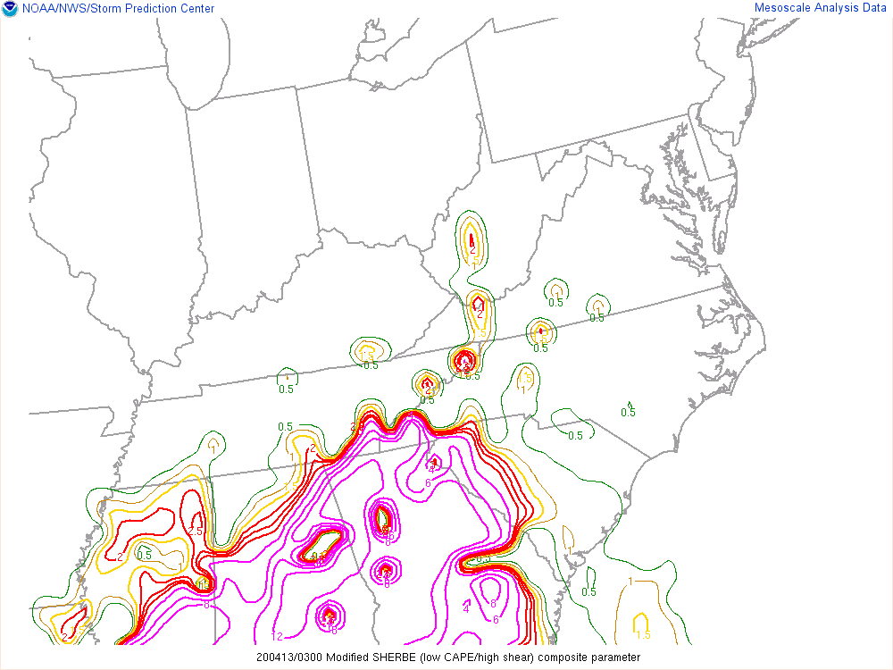 |
Sig Tor Parameter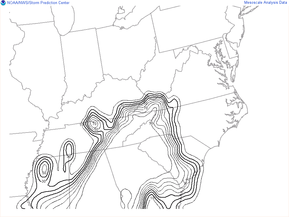 |
Sig Tor Parameter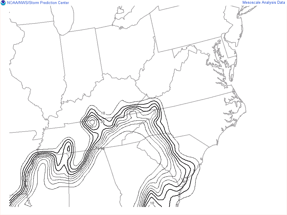 |
| 20200413 0300 UTC | |||
Precipitable Water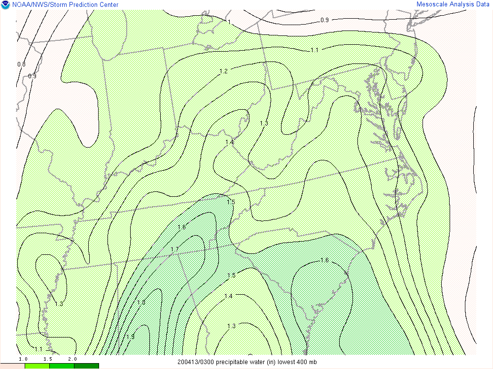 |
850 mb Moisture Transport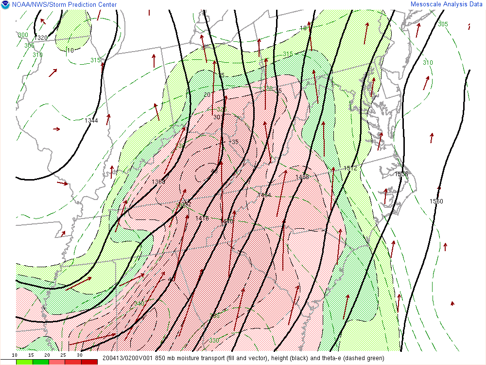 |
Deep Lyr Moist Flux Conv & Mixing Ratio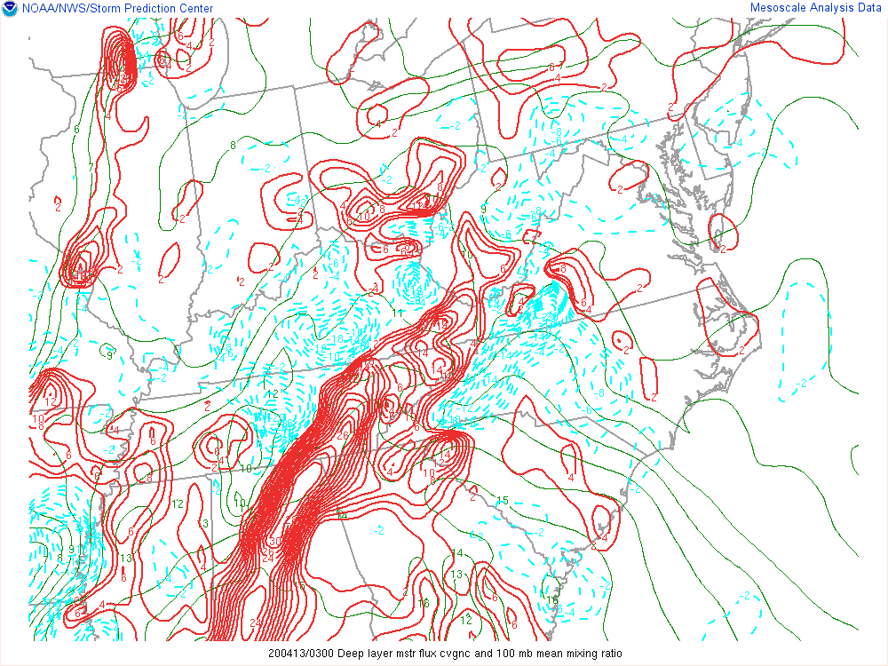 |
|
| 20200413 0600 UTC | |||
Surface Obs |
Surface Convergence & Vorticity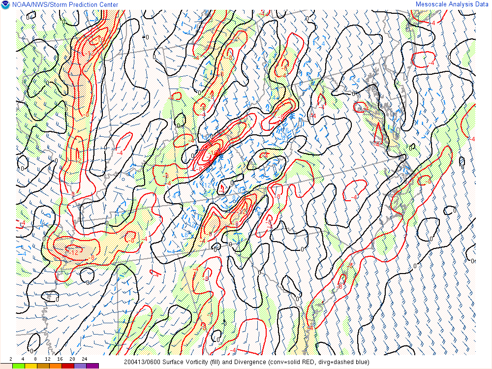 |
Mixed Layer CAPE |
Mixed Layer CAPE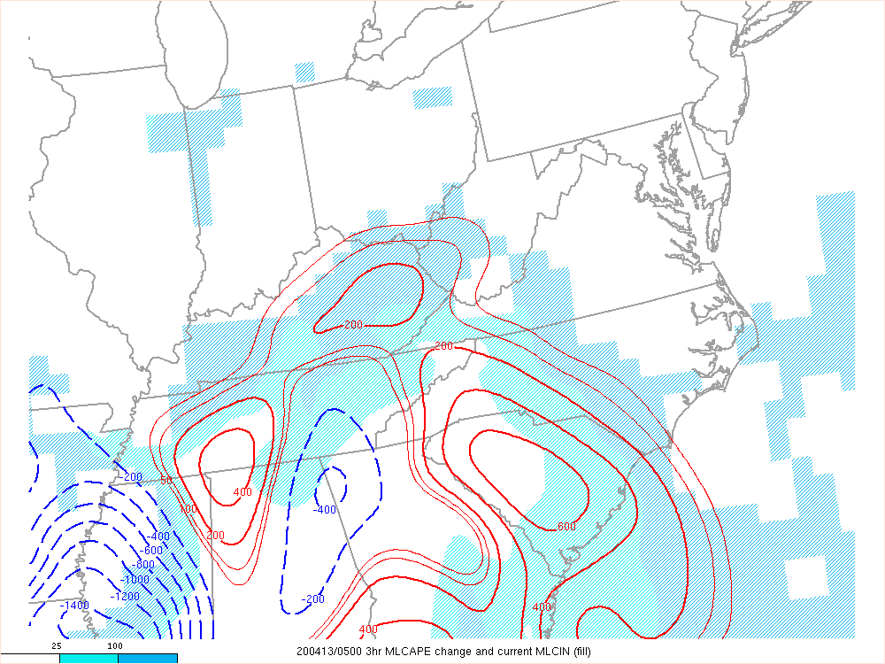 |
| 20200413 0600 UTC | |||
Most Unstable CAPE |
Most Unstable CAPE |
Low Level Lapse Rate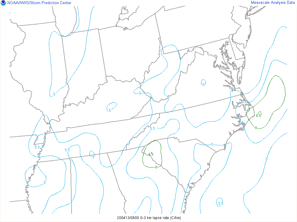 |
Low Level Lapse Rate |
| 20200413 0600 UTC | |||
CAPE in Hail Growth Layer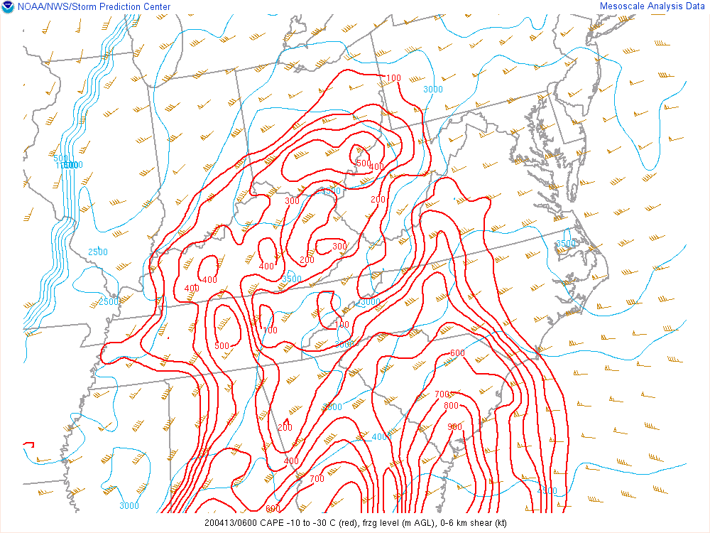 |
0-1km Shear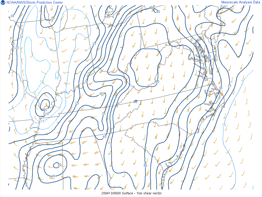 |
0-1km Shear |
0-6km Shear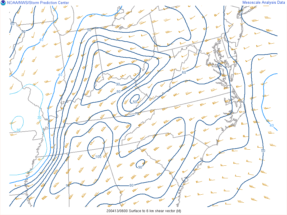 |
| 20200413 0600 UTC | |||
0-6km Shear |
Modified SHERBE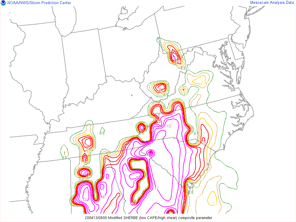 |
Sig Tor Parameter |
Sig Tor Parameter |
| 20200413 0600 UTC | |||
Precipitable Water |
850 mb Moisture Transport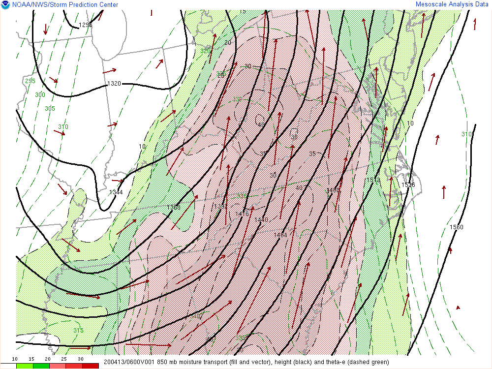 |
Deep Lyr Moist Flux Conv & Mixing Ratio |
925 mb analysis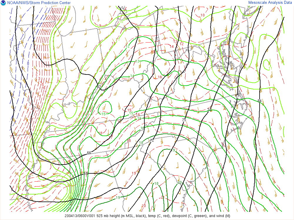 |
| 20200413 0600 UTC | |||
850mb mb analysis |
700 mb analysis |
500 mb analysis |
300 mb analysis |
| 20200413 0900 UTC | |||
Surface Obs |
Surface Convergence & Vorticity |
Mixed Layer CAPE |
Mixed Layer CAPE |
| 20200413 0900 UTC | |||
Most Unstable CAPE |
Most Unstable CAPE |
Low Level Lapse Rate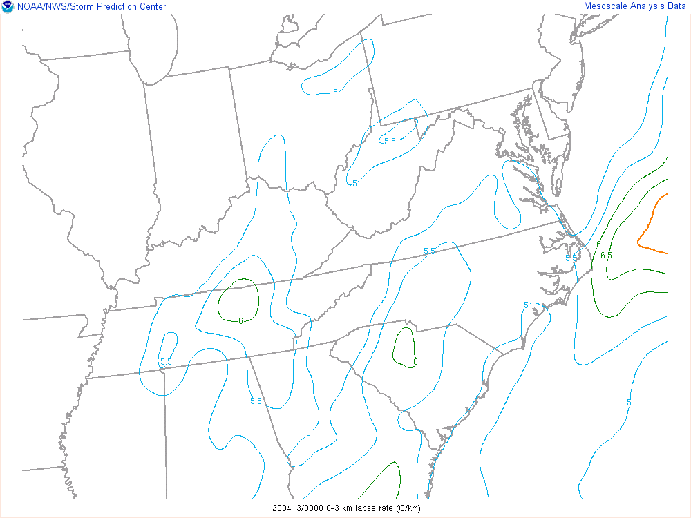 |
Low Level Lapse Rate |
| 20200413 0900 UTC | |||
CAPE in Hail Growth Layer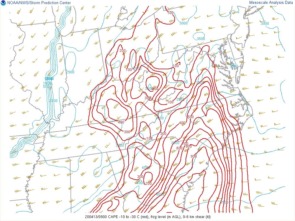 |
0-1km Shear |
0-1km Shear |
0-6km Shear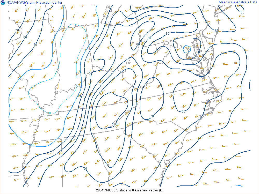 |
| 20200413 0900 UTC | |||
0-6km Shear |
Modified SHERBE |
Sig Tor Parameter |
Sig Tor Parameter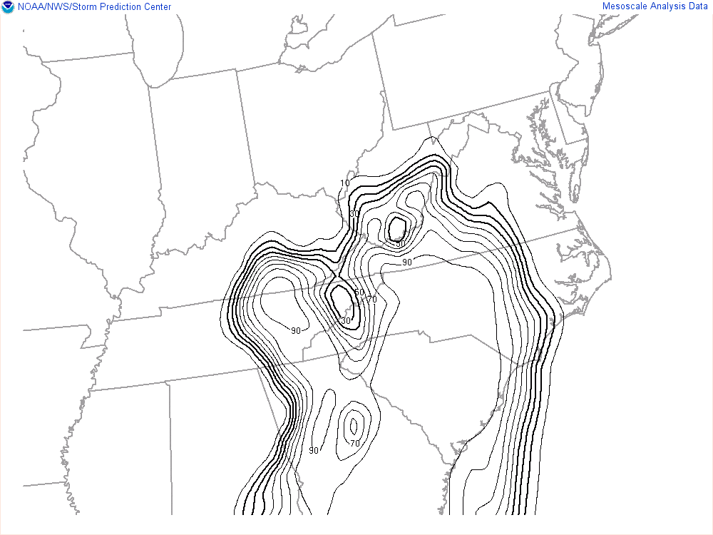 |
| 20200413 0900 UTC | |||
Precipitable Water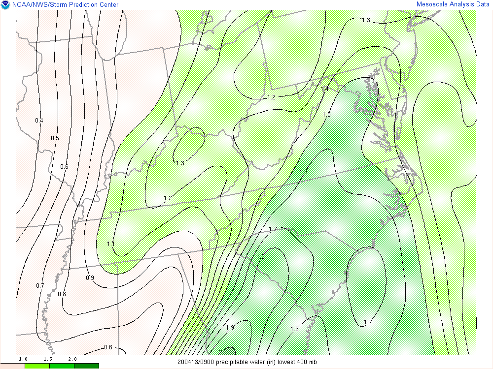 |
850 mb Moisture Transport |
Deep Lyr Moist Flux Conv & Mixing Ratio |
|
| 20200413 1200 UTC | |||
925 mb analysis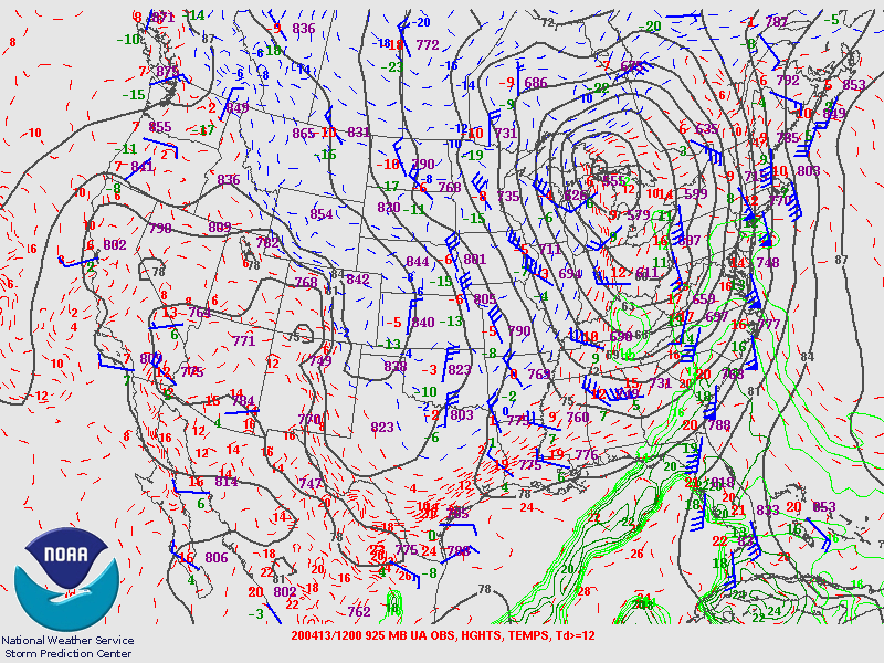 |
850 mb analysis |
700 mb analysis |
500 mb analysis |
| 20200413 1200 UTC | |||
300 mb analysis |
Peachtree City GA Observed Sounding |
Greensboto NC Observed Sounding |
Blacksburg VA Observed Sounding |
| 20200413 1200 UTC | |||
Surface Obs |
Surface Convergence & Vorticity |
Mixed Layer CAPE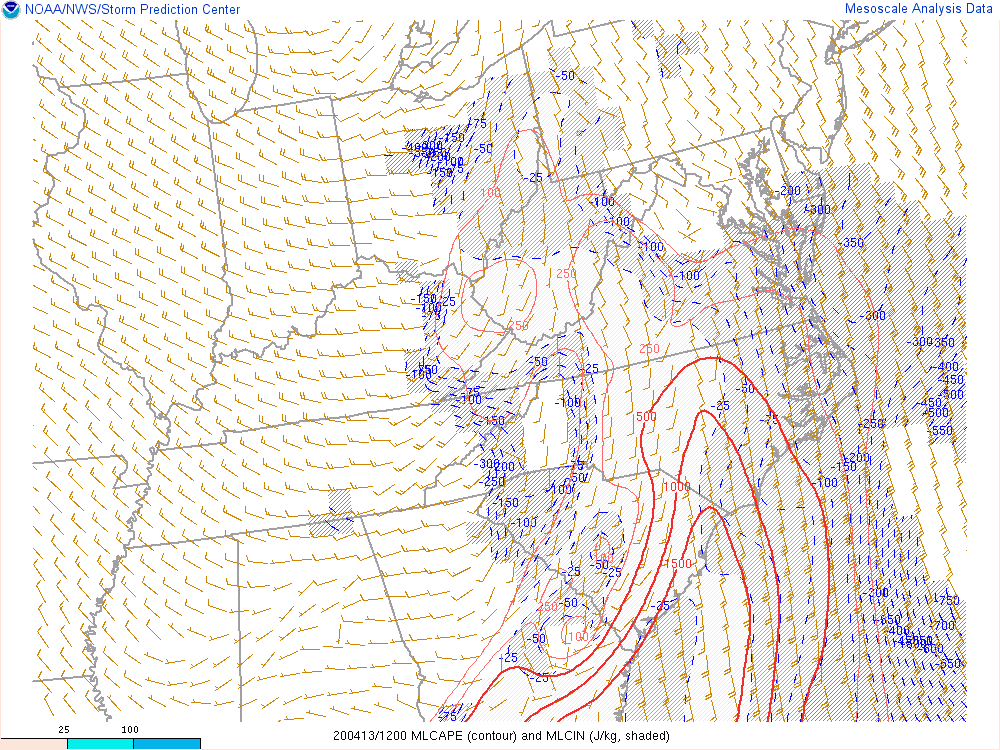 |
Mixed Layer CAPE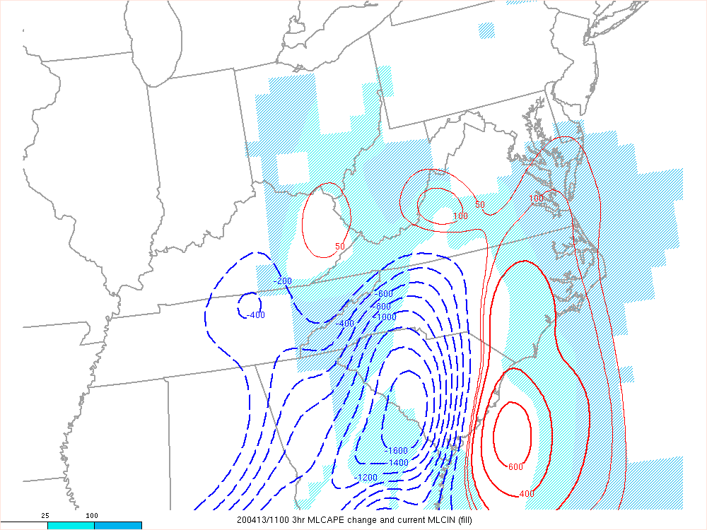 |
| 20200413 1200 UTC | |||
Most Unstable CAPE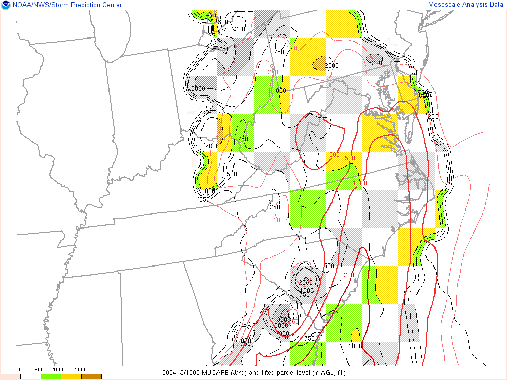 |
Most Unstable CAPE |
Low Level Lapse Rate |
Low Level Lapse Rate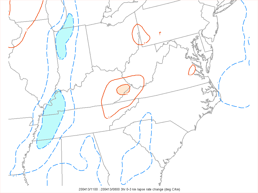 |
| 20200413 1200 UTC | |||
CAPE in Hail Growth Layer |
0-1km Shear |
0-1km Shear |
0-6km Shear |
| 20200413 1200 UTC | |||
0-6km Shear |
Modified SHERBE |
Sig Tor Parameter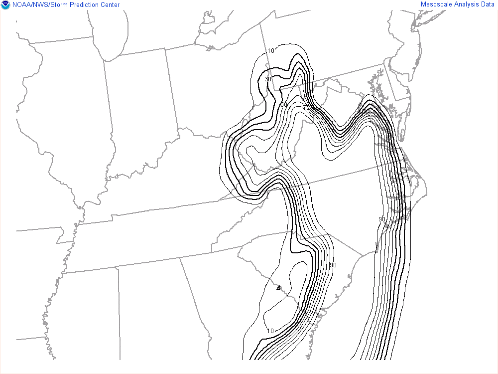 |
Sig Tor Parameter |
| 20200413 1200 UTC | |||
Precipitable Water |
850 mb Moisture Transport |
Deep Lyr Moist Flux Conv & Mixing Ratio |
|
Hazards
Severe Thunderstorms
Tropical Weather
Winter Weather
Storm Prediction Center
National Hurricane Center
Space Weather
Hydrology
Stream Level Forecasts
Precipitation Forecasts
Past Precipitation
Stream and Lake Levels
Stream/Lake Levels (List)
Forecast
Weather Activity Planner
Aviation Weather
Graphical Forecasts
Weather Prediction Center
Long Range Forecast
Model Data
US Dept of Commerce
National Oceanic and Atmospheric Administration
National Weather Service
Greenville-Spartanburg, SC
GSP International Airport
1549 GSP Drive
Greer, SC 29651
(864) 848-3859
Comments? Questions? Please Contact Us.


 Hourly Weather