
These storm systems will bring late season snow, sleet and ice for portions of the northern Plains, upper Midwest and Great Lakes region. Meanwhile, where temperatures are warmer, severe thunderstorms are expected for areas of the Mississippi Valley into the southern Plains. Furthermore, combination of windy and dry conditions will raise fire weather concerns for the southern High Plains. Read More >
| 72 Hour Snow
Amount Potential
Experimental - Leave feedback
|
|
| Expected 72 Hour Snowfall - Official NWS Forecast
What's this? |
High End 72 Hour
Amount 1 in 10 Chance (10%) of Higher Snowfall What's this? |
| Low End
72 Hour Amount 9 in 10 Chance (90%) of Higher Snowfall What's this? |
|
| Percent Chance That 72 Hour
Snow Amounts in Will Be Greater Than...
Experimental - Leave feedback
What's
this?
|
||||||||||||||||
|
||||||||||||||||
| 72 Hour Snowfall Totals by
Location
Experimental - Leave feedback
What's
this?
|
|
|
| Snow Amount Potential
Experimental - Leave feedback
|
|
| Expected 72 Hour Snowfall - Official NWS Forecast
What's this? |
High End 72 Hour
Amount 1 in 10 Chance (10%) of Higher Snowfall What's this? |
| Low End
72 Hour Amount 9 in 10 Chance (90%) of Higher Snowfall What's this? |
|
| Percent Chance That 72 Hour Snow Amounts Will Be Greater
Than...
Experimental - Leave feedback
What's
this?
|
||||||||||||||||
|
||||||||||||||||
| 72 Hour Ice
Accumulation Potential
Experimental - Leave feedback
|
|
| Expected 72 Hour Ice Accumulation - Official NWS Forecast
What's this? This is the elevated flat surface ice accumulation. It is not radial/line ice. Radial/line ice is typically 39% of the elevated flat surface ice. For more information on this, see this module. |
High End 72 Hour
Amount 1 in 10 Chance (10%) of Higher Ice Accumulation What's this? |
| Low End
72 Hour Amount 9 in 10 Chance (90%) of Higher Ice Accumulation What's this? |
|
| Percent Chance That 72 Hour
Ice Accumulation Will Be Greater Than...
Experimental - Leave feedback
What's
this?
|
||||||||||||||||
|
||||||||||||||||
| 72 Hour Ice Accumulation by
Location
Experimental - Leave feedback
What's
this?
|
|
|
| 72 Hour Ice Accumulation Potential
Experimental - Leave feedback
|
|
| Expected 72 Hour Ice Accumulation - Official NWS Forecast
What's this? This is the elevated flat surface ice accumulation. It is not radial/line ice. Radial/line ice is typically 39% of the elevated flat surface ice. For more information on this, see this module. |
High End 72 Hour
Amount 1 in 10 Chance (10%) of Higher Ice Accumulation What's this? |
| Low End
72 Hour Amount 9 in 10 Chance (90%) of Higher Ice Accumulation What's this? |
|
| Percent Chance That 72 Hour Ice Accumulations Will Be
Greater Than...
Experimental - Leave feedback
What's
this?
|
||||||||||||||||
|
||||||||||||||||
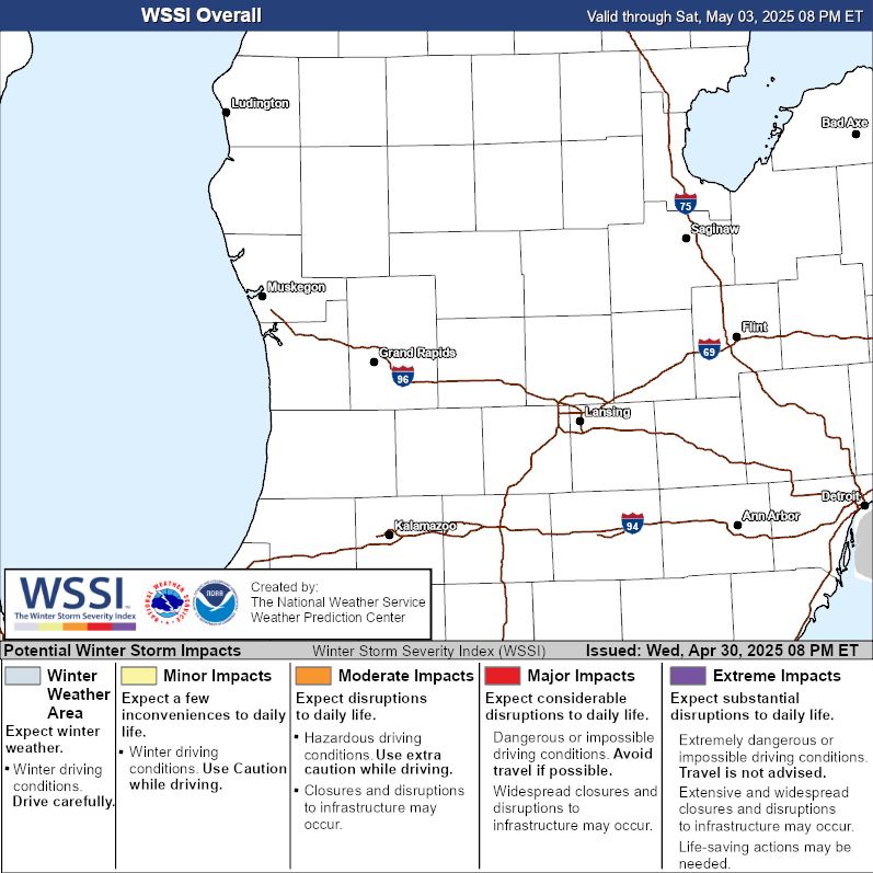
| Winter Storm Severity Index (WSSI) | Winter Storm Outlook (WSO) |
|---|---|
|

|
| Local Snow Reports | National Snowfall Analysis |
|---|---|
 |
 |
| Days 4-7 Winter Weather Outlook | |
| Day 4 Winter Weather Outlook | Day 5 Winter Weather Outlook |
 |
 |
| Day 6 Winter Weather Outlook | Day 7 Winter Weather Outlook |
 |
 |
| CPC Week-2 Experimental Heavy Snow Risk | |
 |
|
| CPC Temperature & Precipitation Maps | |
|
Days 6-10 |
|
| Temperature | Precipitation |
 |
 |
|
Days 8-14 |
|
| TEMPERATURE | PRECIPITATION |
 |
 |
|
Week 3-4 |
|
|
TEMPERATURE |
PRECIPITATION |
 |
 |
| Selected City Charts | |
Expected
Snowfall - Box and Whisker Plot
|
Expected
Snowfall - Exceedance Bar Plot
|

