Grand Rapids, MI
Weather Forecast Office

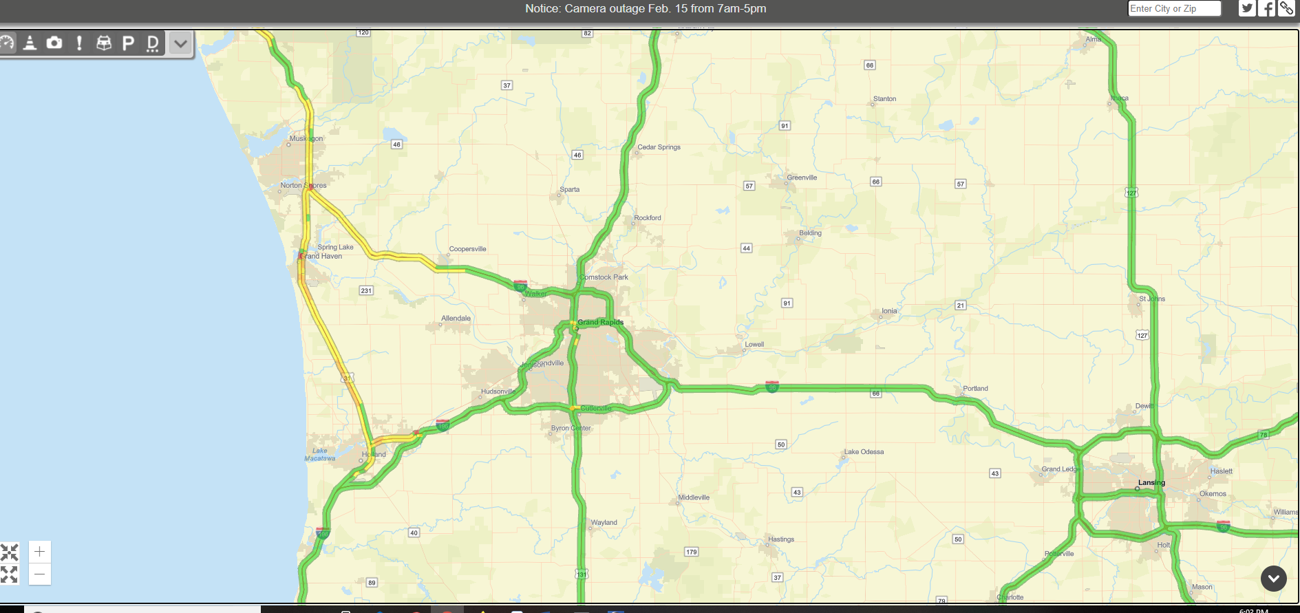 The heavy snow band was causing slow travel between Holland and Norton Shores on US-31. Driving speeds were most reduced near Spring Lake.
 Surface map when the snow was the heaviest.


 |
Media use of NWS Web News Stories is encouraged! |
|
US Dept of Commerce
National Oceanic and Atmospheric Administration
National Weather Service
Grand Rapids, MI
4899 Tim Dougherty Drive SE
Grand Rapids, MI 49512-4034
616-949-0643
Comments? Questions? Please Contact Us.

