Widespread life-threatening flash and urban flooding continues in south-central Texas, with considerable flooding impacts possible across central Texas. Wildfire smoke is impacting air quality across much of the Great Lakes region into southern New England and the Mid-Atlantic. Monsoonal thunderstorms may produce isolated to scattered flash flooding across the Southwest into the Great Basin. Read More >
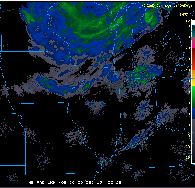
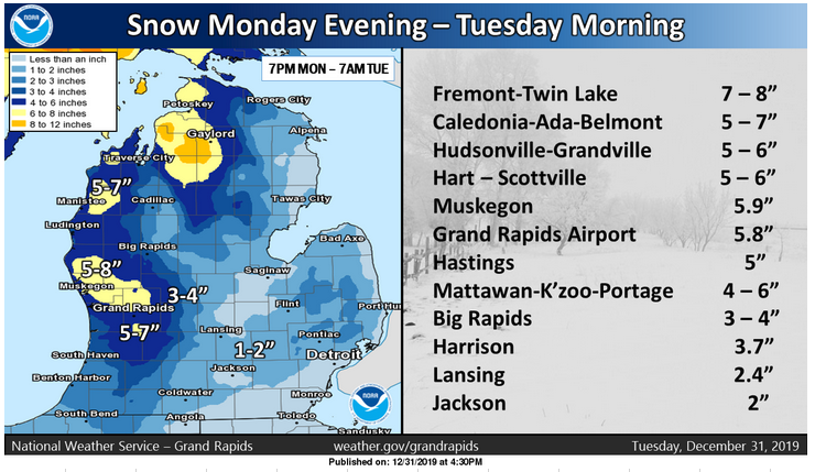
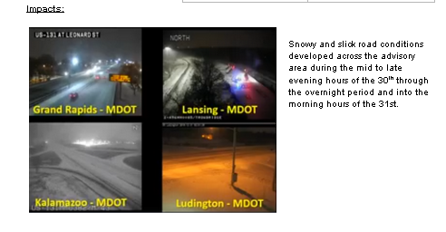
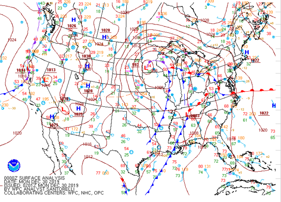
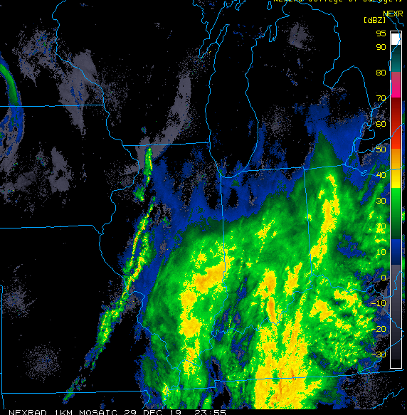
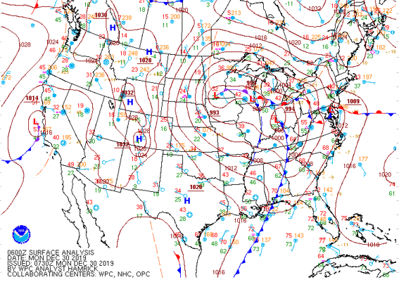
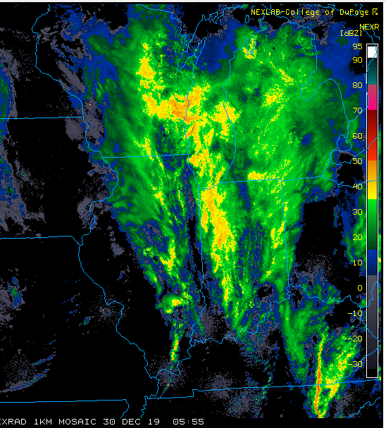
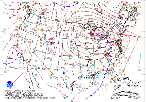
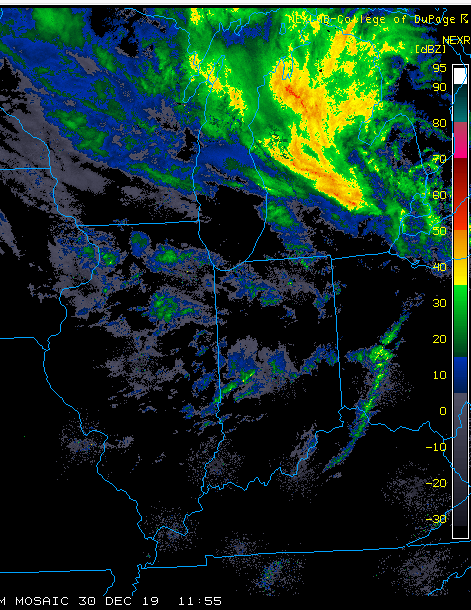
A deeply occluded surface storm, which tracked nearly due north from the Ohio River Valley on Sunday December 29, then moved into Michigan on the 30th during the morning hours. As the deep surface low tracked north toward northern Lake Michigan it, in combination with an equally deep upper level system brought in enough cold air to turn the rain that was falling to lake enhanced snow showers by late afternoon. Snow was aided considerably by moisture enhancement from Lake Michigan. Since the storm was fairly deep, 989 mb at 2 pm on the 30th, in combination with the 1033 mb high over Colorado, caused gusty southwest winds that gusted to near 40 mph at times Monday evening into Tuesday morning. The combination of snow and blowing snow caused hazardous travel conditions to develop from the late evening hours of the 30th into the 31st.
.PNG)