National Weather Service United States Department of Commerce

Major Winter Storm to Bring Snow and Ice from the Central Plains to the Mid-Atlantic

A major winter storm will produce widespread significant impacts from the central Plains across the Ohio and Tennessee valleys, and into the Mid-Atlantic region this weekend into Monday. Areas between central Kansas and Indiana, especially along and north of Interstate 70, are likely to receive heavy snowfall. Icing is likely from eastern Kansas into the southern Appalachians. Read More >

Click a location below for detailed forecast.

Last Map Update: Sat, Jan 4, 2025 at 8:42:28 pm CST
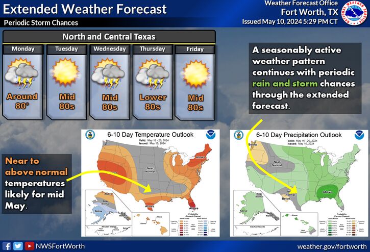
A strong cold front will push through North and Central Texas bringing gusty north winds and a prolonged period of cold temperatures. Scattered showers and storms will be possible along and east of I-35, mainly in the morning. The warmest temperatures of the day will occur in the morning with temperatures quickly dropping behind the cold front. Pack warm clothes if you plan on being outside on Sunday as wind chills will drop into the 20s by Sunday evening!
There is an increasing chance for a wintry mix late next week on Thursday and Friday. However, there is still considerable uncertainty on where a wintry mix will occur, and if so how much accumulations are possible. The most likely scenario (70% chance) includes a rain-snow mix across portions of North and Central Texas late Thursday into early Friday, although a wintry mix of freezing rain and sleet is also possible. The less likely scenario (30% chance) has only a light, cold rain over portions of Central Texas, with dry conditions over North Texas. Keep up to date with the forecast as we further refine the details over the coming days.

Text Product Selector (Selected product opens in current window)
Latest Text Products Issued (Experimental)
Safe Rooms Icon Cooperatirve Rainfall (CoCoRaHs) icon Storm Ready Icon AirNow Icon