National Weather Service United States Department of Commerce

Beryl Forecast to Strengthen as it Heads Towards Southeast Texas; Dangerous Heat Continues in the Western and Eastern U.S.

There is an increasing risk of damaging hurricane-force winds, life-threatening storm surge, and flash flooding in southeast Texas late Sunday into Monday from Beryl. Extremely dangerous heat continues in the Western U.S. into next week, with heat persisting today from New York to the Gulf before gradually subsiding with time into next week. Excessive heat may bring heat-related illness. Read More >

Click a location below for detailed forecast.

Last Map Update: Sat, Jul 6, 2024 at 4:24:14 pm CDT
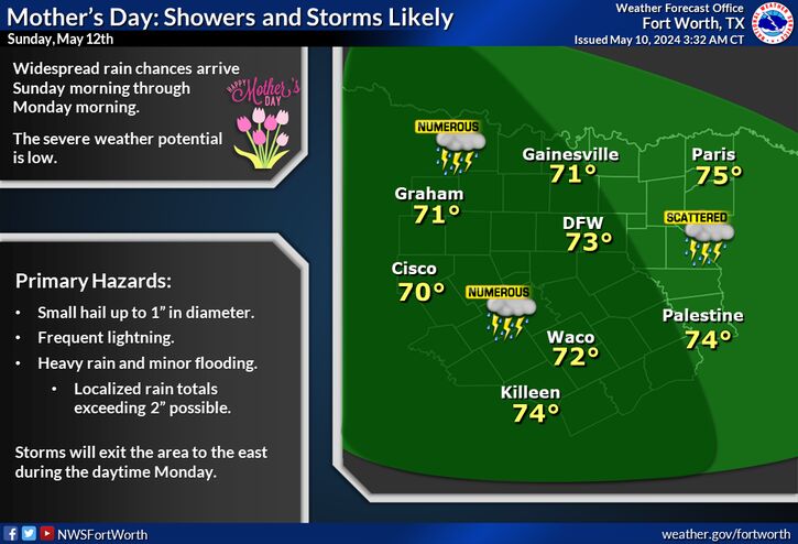
Beryl is expected to make landfall along the Texas coast early Monday with it's remnants tracking north then northeast into Central and North Texas. Widespread heavy rainfall will be the main impact in our area with areas east of I-35 and across our southeast counties expected to see the greatest threat for flooding. Stay tuned for the latest information over the next 36 hours.
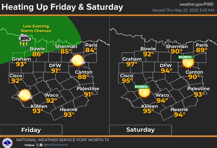
It will be seasonably hot and humid this weekend with highs in the 90s and heat index values a few degrees higher. Isolated to scattered storms are expected both Saturday and Sunday afternoons for parts of the area.
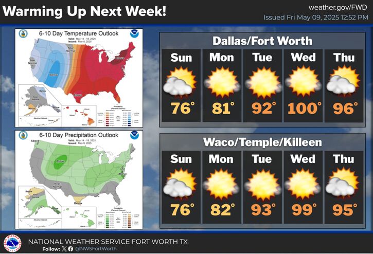
An approaching tropical system and a cold front will keep the pattern unsettled through next week with temperatures near or below normal and daily rain chances. Highs will generally be in the mid 80s to lower 90s and morning lows will be in the low to mid 70s.

Text Product Selector (Selected product opens in current window)
Latest Text Products Issued (Experimental)
Safe Rooms Icon Cooperatirve Rainfall (CoCoRaHs) icon Storm Ready Icon AirNow Icon