National Weather Service United States Department of Commerce

New Year Weather Impacts

A storm tracking through the Northeast U.S. on New Year's Day will bring rain through southern New England and rain changing to snow across interior New England, the central Appalachians, and downwind of the Great Lakes along with widespread gusty winds. Several weak waves of Pacific moisture will bring periods of low elevation rain showers and mountain snow to the Northwest U.S. into the weekend. Read More >

Click a location below for detailed forecast.

Last Map Update: Wed, Jan 1, 2025 at 11:58:23 am CST
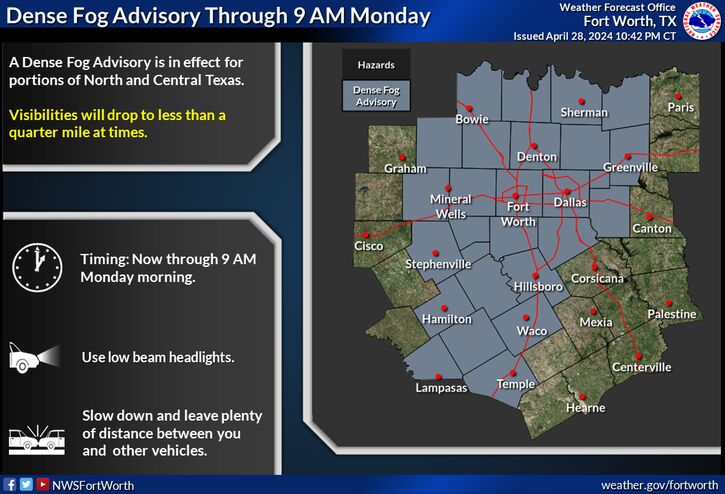
An Arctic Airmass will bring cold temperatures for at least a few days, beginning Monday. Most likely lows are in the 20s with a 10% chance of lows in the teens. What type of precipitation, if any, is still uncertain as well as the extent and duration of the cold.
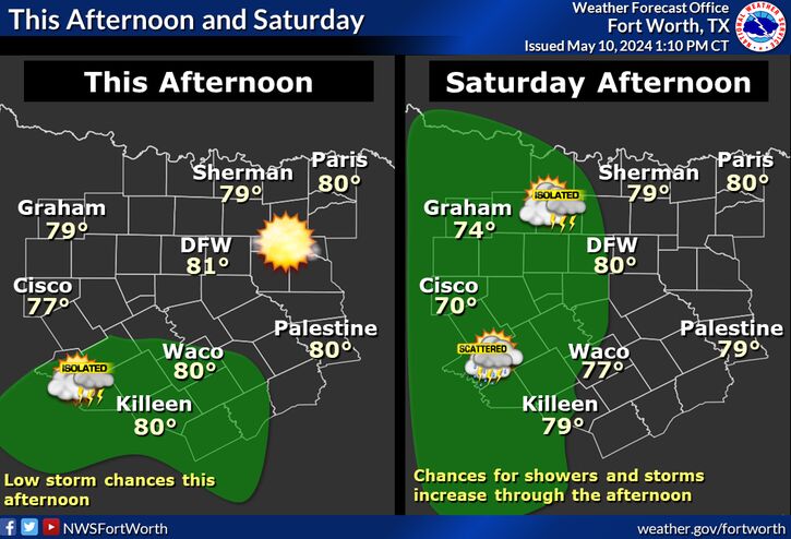
Cool and dry conditions are expected today and tonight. A few locations along the Red River may struggle to get out of the 40s this afternoon.
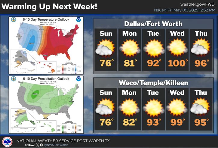
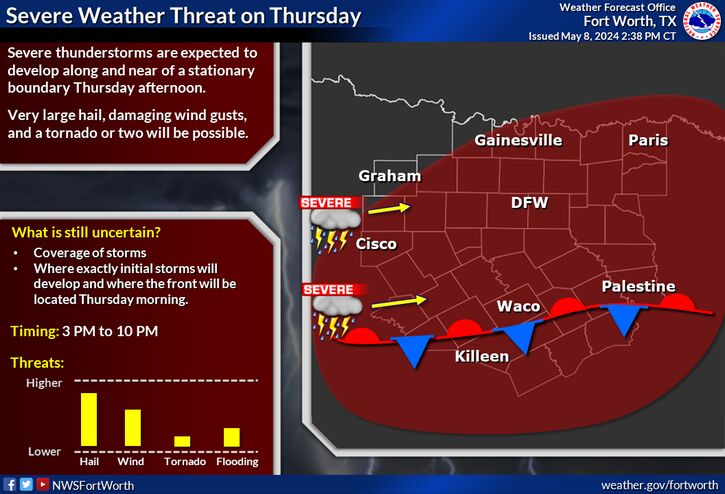
Mild temperatures expected the rest of this week and into the weekend before a strong cold front brings big changes to North and Central Texas. Low rain/storm chances will accompany the front. Sunday will be the warmest day of the period for most areas with highs in the 60s/70s and lows in the 40s/50s.
Take a look at the memorable events that occurred in North and Central Texas this year as we wrap up the year. Notable tidbits include mid January lake effect snow of 2 inches, two EF-3 tornadoes, the warmest October on record for DFW, and the hottest temperature of 111 degrees recorded in Breckenridge this last August.

Text Product Selector (Selected product opens in current window)
Latest Text Products Issued (Experimental)
Safe Rooms Icon Cooperatirve Rainfall (CoCoRaHs) icon Storm Ready Icon AirNow Icon