National Weather Service United States Department of Commerce

Arctic Air Bringing Cold Temperatures to the Eastern Half of the U.S.; Strong Clipper System Wednesday and Thursday

Arctic air will continue below normal temperatures across the eastern half of the U.S. through today. A strengthening clipper storm will track north of the Great Lakes midweek with a widespread snow and gusty to strong winds through the region and into the Northeast U.S. followed by some lake effect snow. Read More >

Click a location below for detailed forecast.

Last Map Update: Tue, Dec 3, 2024 at 5:42:28 pm CST
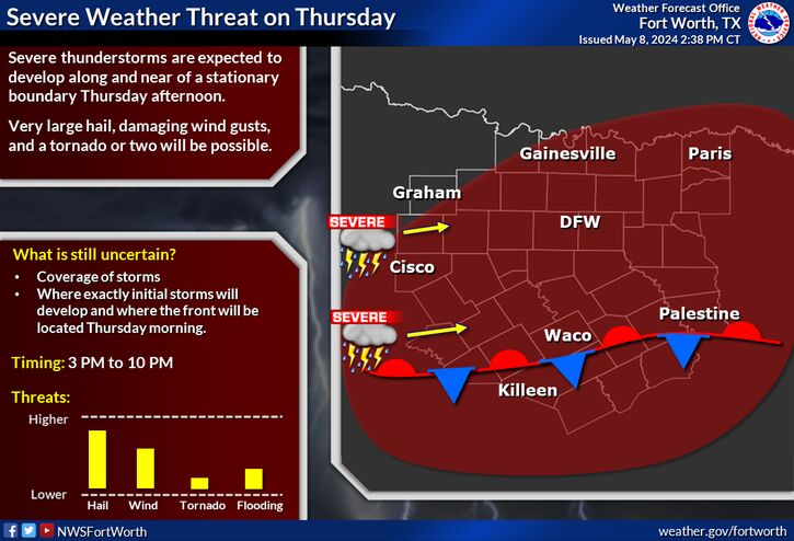
Showers with perhaps a few thunderstorms return to the region on Wednesday, with best rain chances generally along and east of the I- 35 corridor. Showers will develop after 3 AM Wednesday morning, increasing in coverage late morning into the afternoon. Severe weather is not expected with this activity. Clouds and rain will keep temperatures in the 50s for most areas throughout the day.
Rain chances will return late this week and into the weekend after a brief break on Thursday. A slow moving system will bring widespread showers and perhaps a few thunderstorms as early as Friday evening and continuing through Saturday. Rainfall totals will be heaviest across our southeast counties where 1/2" to 1" of rain is expected. There is still some uncertainty with this forecast and a slower moving system would result in heavier totals.

Text Product Selector (Selected product opens in current window)
Latest Text Products Issued (Experimental)
Safe Rooms Icon Cooperatirve Rainfall (CoCoRaHs) icon Storm Ready Icon AirNow Icon