National Weather Service United States Department of Commerce

Areas of Unsettled Weather Over the Northwest and Southeast U.S. Thursday

Heavy coastal rain and high-elevation mountain snow over the Pacific Northwest and northern California will become lighter and more scattered into Thursday. A rapidly developing coastal storm is expected to bring a period of gusty winds, enhanced rainfall and thunderstorms from the Carolinas to the Mid-Atlantic states Thursday night into Friday. Read More >

Click a location below for detailed forecast.

Last Map Update: Thu, Nov 14, 2024 at 1:22:14 am CST
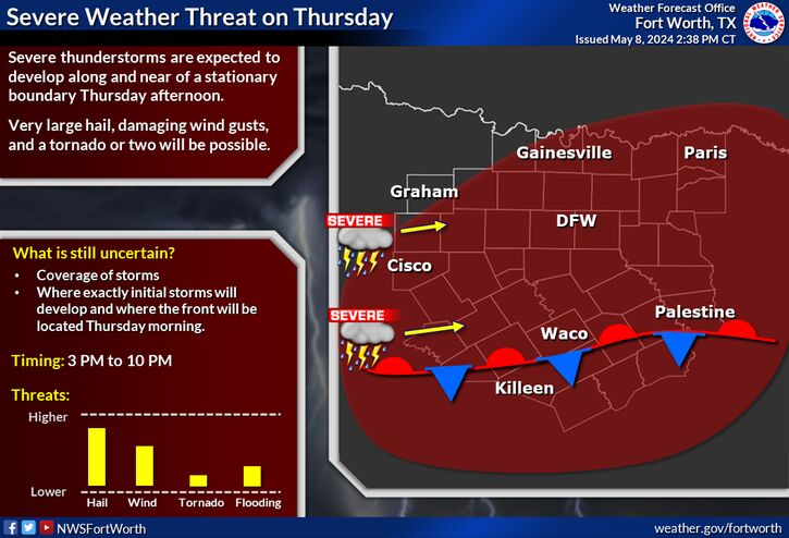
Pleasant weather is expected Thursday and Friday with highs in the upper 60s to mid 70s, plenty of sunshine, and low humidity. Winds will return to the southeast, with speeds around 5-10 mph or less expected.
Rain chances will be on the increase as we head into next week ahead of an incoming cold front. Best chances for rain will be Sunday night through Monday morning. Currently, highest rainfall totals will be near/north of I-20, though there is still uncertainty on exact locations and totals. Make sure to check back this week as we get more details.
Looking ahead,confidence is increasing in a strong cold front entering the region and bringing below normal temperatures (40-60% chance). For rural locations, there's currently a 20-40% chance of freezing temperatures in the Nov 20th-22nd time-frame. Check back as we get closer!

Text Product Selector (Selected product opens in current window)
Latest Text Products Issued (Experimental)
Safe Rooms Icon Cooperatirve Rainfall (CoCoRaHs) icon Storm Ready Icon AirNow Icon