National Weather Service United States Department of Commerce

Active Weather for the West, Warming in the East

The potential for heavy snow at higher elevations in the western U.S. will continue for many spots through the weekend. In the meantime, the eastern half of the continental U.S. will transition to above normal temperatures ahead of a pair of cold fronts next week that will bring readings back to closer to normal as we approach Thanksgiving Day. Read More >

Click a location below for detailed forecast.

Last Map Update: Sat, Nov 23, 2024 at 4:10:13 pm CST

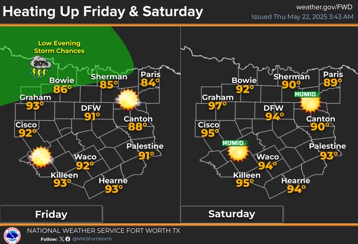
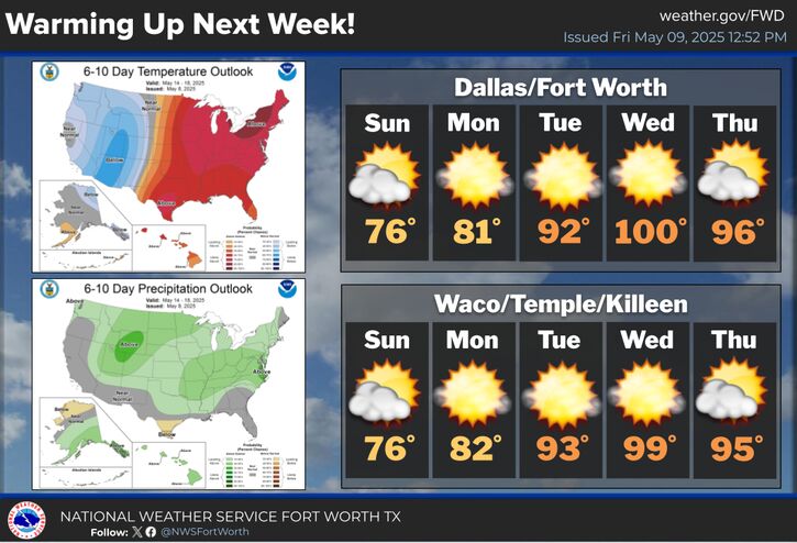
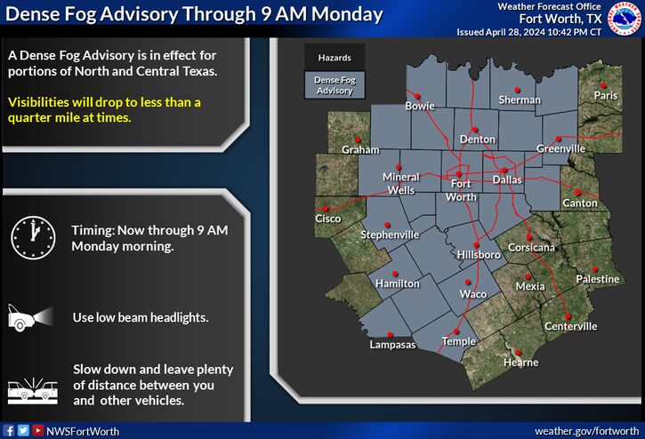
Lows tonight will be slightly warmer thanks to a surge of moisture and increasing cloud cover, generally in the 50s. River valley fog will be possible, which may reduce visibilities near bridges over water. Warming will continue into tomorrow, with highs in the upper 70s and low 80s. Breezy conditions will result in wind gusts approaching 30 mph.
Planning on travel before Thanksgiving Day? Here's a look at the forecast across the entire CONUS. Most of our state will remain dry but a couple of systems will impact both the western and eastern U.S. Visit www.weather.gov/forecastpoints for specific details about your destination!
Another cold front will bring cooler and breezy weather to the region for Thanksgiving Day. High temperatures are currently forecast to be in the mid 50s to mid 60s with mostly cloudy skies seeing some clearing during the afternoon. The forecast continues to trend drier, with no rain chances currently expected.

Text Product Selector (Selected product opens in current window)
Latest Text Products Issued (Experimental)
Safe Rooms Icon Cooperatirve Rainfall (CoCoRaHs) icon Storm Ready Icon AirNow Icon