Sioux Falls, SD
Weather Forecast Office
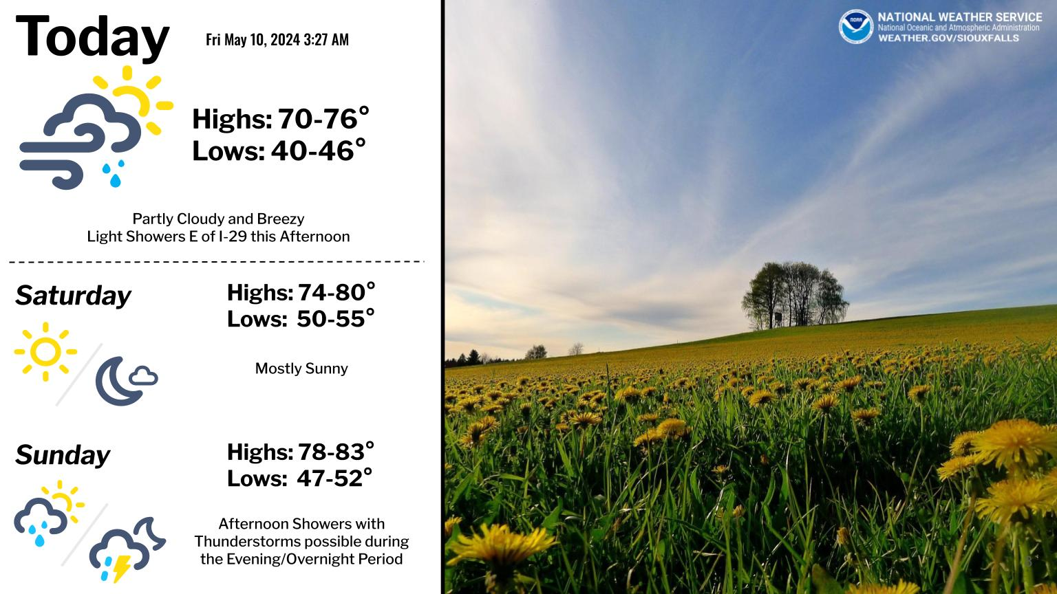
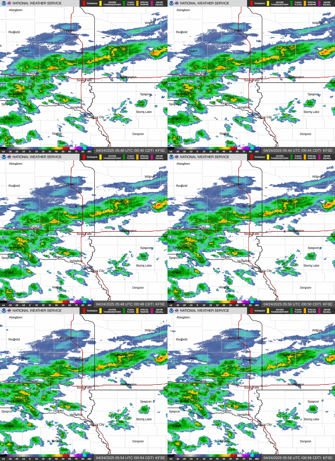
A large storm system will bring unsettled weather to the region this week. Periodic light rain and drizzle will overspread the area today, however the more persistent steady rainfall will arrive this evening. Occasional rain is expected to continue overnight tonight through Tuesday night. A few non severe thunderstorms will also be possible this evening through Tuesday. Cooler air arriving behind the low pressure system may also allow snow to mix with rain in south central SD, with up to 1 inch of slushy accumulations possible. The precipitation will finally come to an end on Wednesday, with rainfall totals of 1 to 2 inches expected across the region. Gusty winds will also accompany this storm, and will be strongest on Wednesday.
The extended stretch of warm weather will also be coming to an end. Daily high temperatures will be above normal through Wednesday, but turn cooler by the end of the week and into next weekend.
If you have travel or outdoor plans this week, a check of some information might prove useful. Here are some good places to find out the latest available details:
Popular Pages
Past Weather Events
Regional Weather Roundup
Daily Temp/Precip
Hazardous Weather
Local Climate Archives
Climate Graphs and Data
Seasonal
EvapoTranspiration
Fire Weather
Grassland Fire Danger
Flooding (River)
Summer Weather
Travel Forecasts
Winter Weather
Winter Preparedness
Forecast Snowfall Graphic
Winter Temp Climatology
US Dept of Commerce
National Oceanic and Atmospheric Administration
National Weather Service
Sioux Falls, SD
26 Weather Lane
Sioux Falls, SD 57104-0198
605-330-4247
Comments? Questions? Please Contact Us.


 Weather Story
 Weather Map
 Local Radar