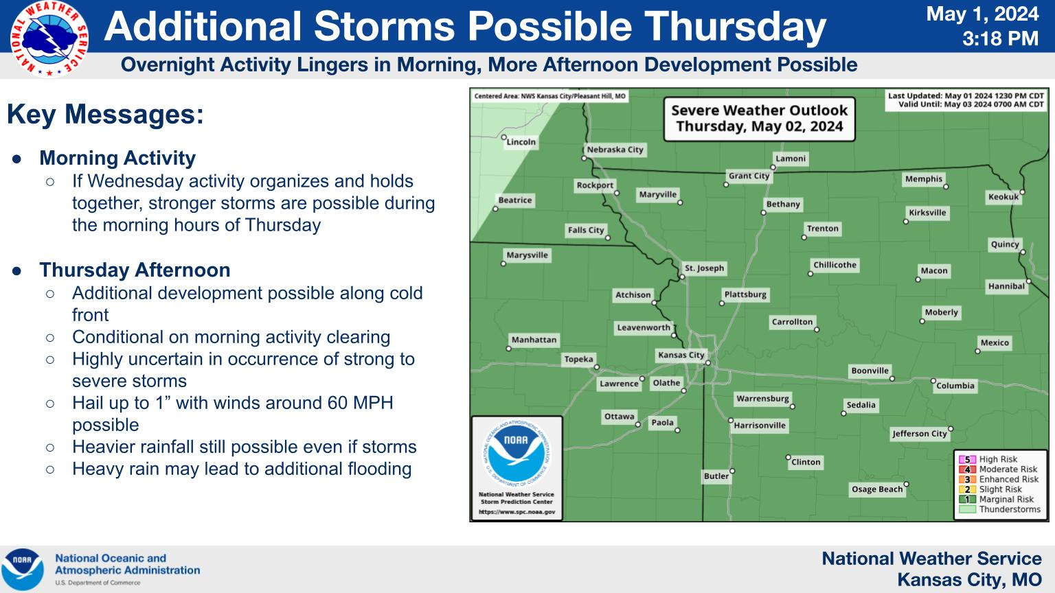
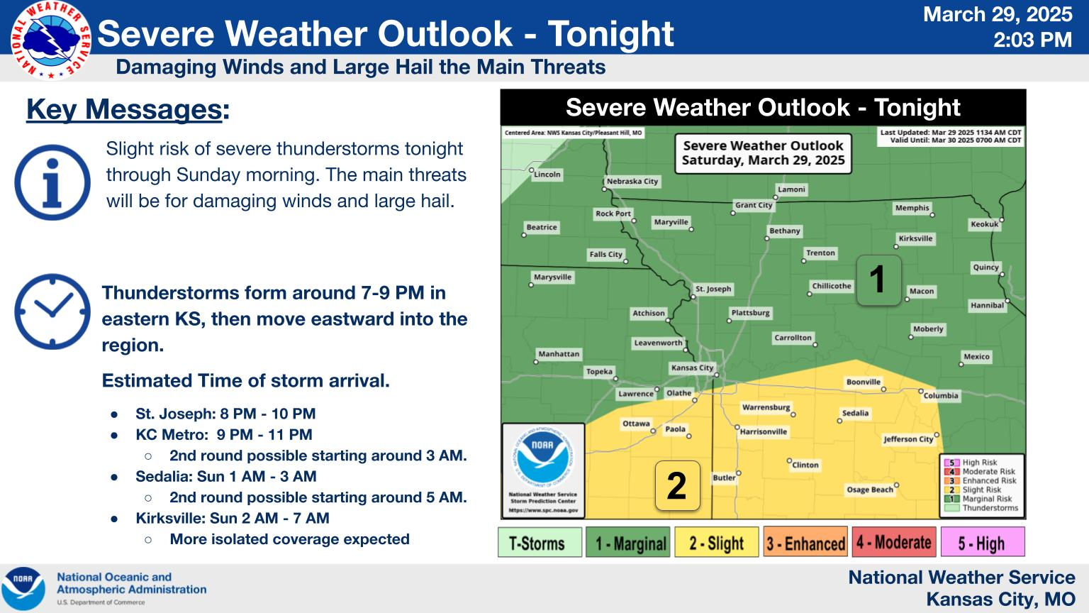
There is a Slight (Level 2 out of 5) risk for severe weather tomorrow, primarily north of the I-435 corridor across north/northwestern Missouri and northern Kansas. Greater confidence in the development of severe weather would be during the evening, primarily after sunset, but there is a lower probability (15-20%) to see isolated storms develop during the afternoon. If isolated storms can develop, large hail and damaging winds would be the primary threats. Otherwise, with a greater cluster of storms from the west, damaging wind would be the primary threat.


